We know complex geophysical surveys, but we keep things down to earth. With over 30 years of expertise, TerraDat is your trusted partner in engineering, environmental, energy, and archaeological ground investigations.
At TerraDat, we understand the importance of reliable geophysical surveys for making informed decisions. Our experienced team of geophysicists use advanced technology to provide precise insights into subsurface conditions, ensuring your project’s success. We tailor each survey to deliver the specific data you need, always focusing on practical outcomes.
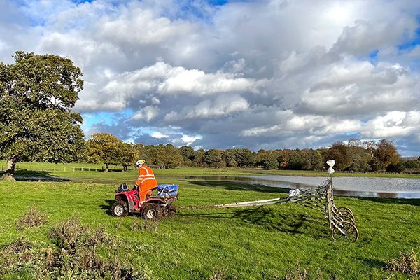
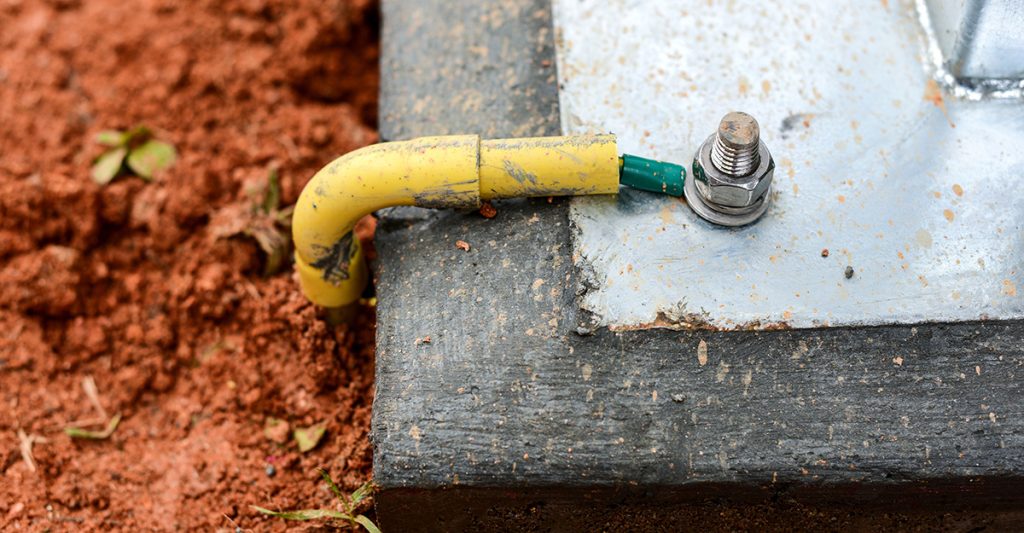
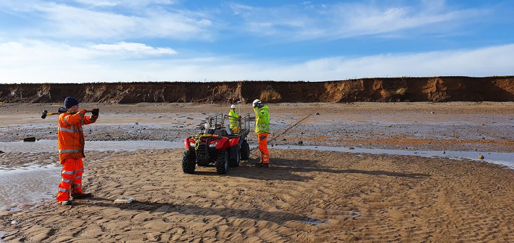
Electrical Earthing: Advanced Soil Resistivity Measurements for Electrical Earthing Design
As part of our services for energy and infrastructure, TerraDat regularly carries out soil resistivity measurements for earthing installation design and corrosion engineering. These resistivity measurements are made by passing a DC electrical current through the ground using a pair … Read More
Electrical Resistivity Tomography (ERT)
The Resistivity technique is useful for characterising the sub-surface materials in terms of their electrical properties. Variations in electrical resistivity (or conductivity) typically correlate with variations in lithology, water saturation, fluid conductivity, porosity and permeability, which may be used to … Read More
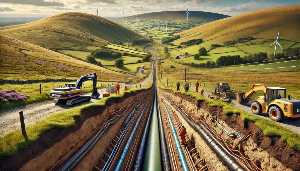
Shallow Geophysics for Transmission Cable Route Characterisation
Shallow geophysics plays a crucial role in characterizing the subsurface for transmission cable routes, offering significant advantages to transmission teams working on energy infrastructure projects. By employing non-invasive geophysical techniques, energy providers can optimize cable route planning, reduce environmental impact, … Read More
Seismic Reflection
TerraDat has specialist experience in designing and implementing high-resolution seismic reflection surveys for onshore and shallow marine environments. The company routinely carries out seismic survey work for geotechnical and environmental applications as well as larger-scale work for oil/mineral exploration. … Read More
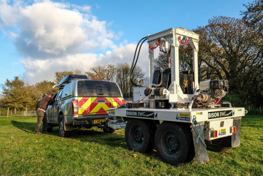
Meet Bison “Thumper” – our seismic weight drop…
TerraDat’s expertise in shallow seismic surveying to profile bedrock and map changes in subsurface engineering properties goes to another level with the recent acquisition of a powerful weight drop source. As far as we know, it’s the only one of … Read More
How TerraDat’s work is helping monitor climate change
Twenty years ago, geophysics specialists at TerraDat became involved in a major pan-European project to measure the impact of climate change on permafrost in the mountains of Europe. The PACE (Permafrost And Climate in Europe) Project began monitoring a large … Read More
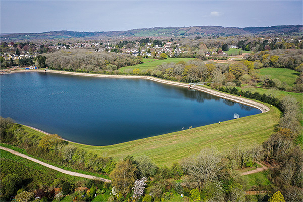
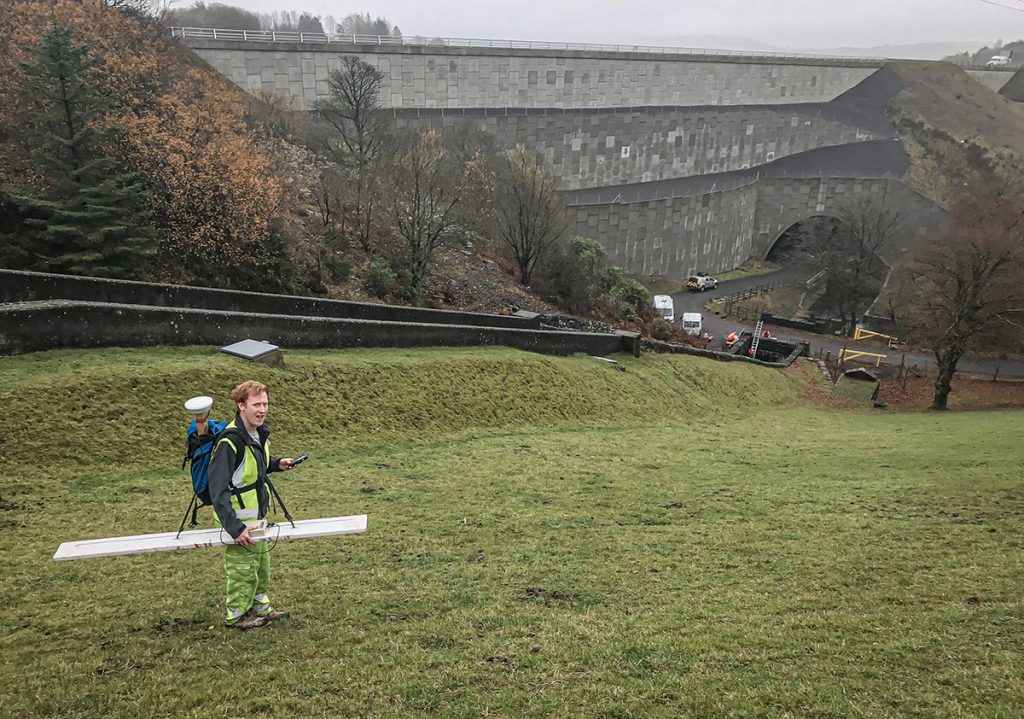
How can geophysical techniques be used to investigate and monitor leaking dams?
Dams are vital structures that contribute to vital infrastructure including drinking water, crop irrigation, and hydroelectric power. These structures, often over a century old are also put under huge stress by the large quantities of water they retain as well … Read More
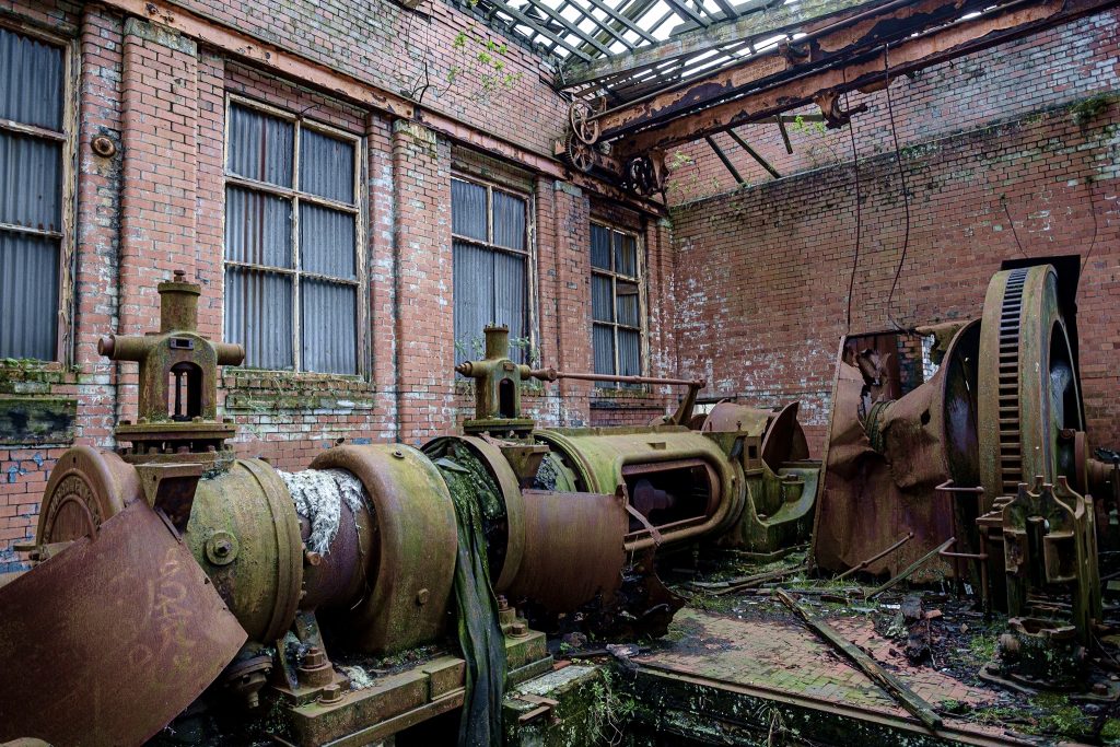
How we brought the evocative story of Swansea’s copper heritage to life using 3D Reality Capture
An evocative video combining the oral history of one of Wales’ most important industrial sites with a 3D digital model created from laser scan surveys are preserving its heritage for future generations as well as connecting local communities with their … Read More
Crosshole Seismics
Seismic methods can provide detailed information about rock properties and geological structure between boreholes. Fewer boreholes are needed to achieve a continuous picture of the subsurface, thereby reducing overall costs and the risk of missing target features. Borehole seismic methods … Read More