We know complex geophysical surveys, but we keep things down to earth. With over 30 years of expertise, TerraDat is your trusted partner in engineering, environmental, energy, and archaeological ground investigations.
At TerraDat, we understand the importance of reliable geophysical surveys for making informed decisions. Our experienced team of geophysicists use advanced technology to provide precise insights into subsurface conditions, ensuring your project’s success. We tailor each survey to deliver the specific data you need, always focusing on practical outcomes.
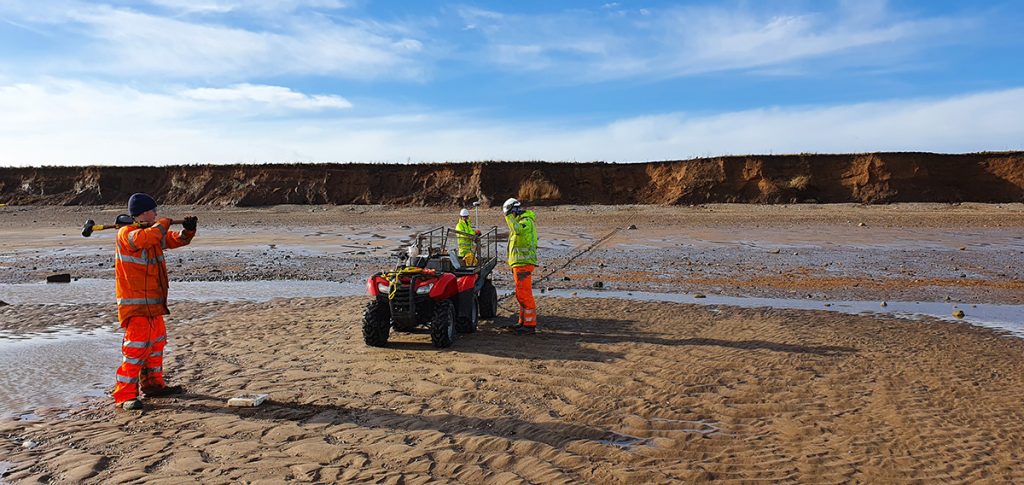
Shallow Geophysics for Transmission Cable Route Characterisation
Shallow geophysics plays a crucial role in characterizing the subsurface for transmission cable routes, offering significant advantages to transmission teams working on energy infrastructure projects. By employing non-invasive geophysical techniques, energy providers can optimize cable route planning, reduce environmental impact, … Read More
Crosshole Seismics
Seismic methods can provide detailed information about rock properties and geological structure between boreholes. Fewer boreholes are needed to achieve a continuous picture of the subsurface, thereby reducing overall costs and the risk of missing target features. Borehole seismic methods … Read More
Experts in Microgravity Surveys
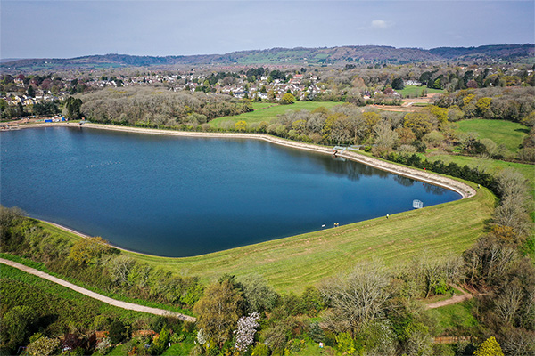
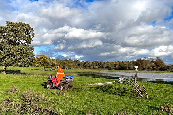
A TerraDat microgravity survey is based on measuring localised variations in the Earth’s gravitational field using an extremely sensitive gravity meter. We own and operate the latest Scintrex gravimeters. A microgravity survey targets physical contrasts between materials of contrasting density. … Read More
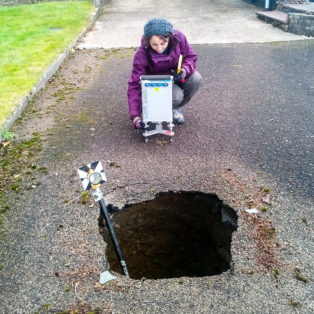
Karst Geology: Void detection & Karst Mapping using Geophysics
TerraDat is regularly contacted by ground engineers asking about our void detection surveys using geophysics. The benefits of our geophysical surveys in terms of maximum area coverage and minimal ground disturbance provide an ideal solution. The best geophysical methods for … Read More
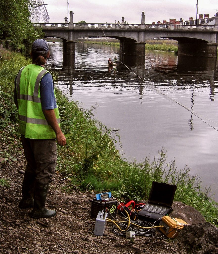
River Crossings: Profiling Geology using Geophysics
Many of our clients constructing roads, laying pipelines or investigating historic bridges find profiling the geology beneath rivers tricky using conventional ground investigation methods. Since the path rivers take is often dictated by changes in geology, the problem can be … Read More
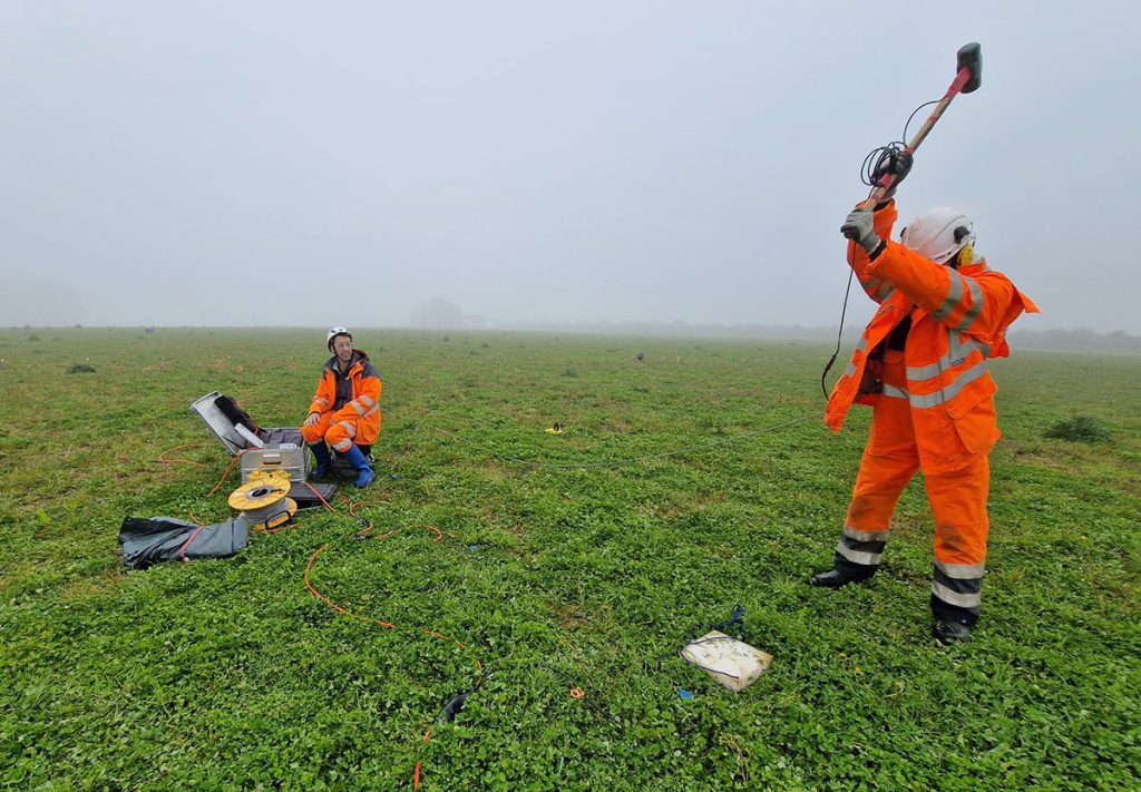
Specialist Seismic Refraction Survey Company
TerraDat is a specialist Seismic refraction survey company with many years of experience applying and researching its use in shallow engineering and geotechnical work. Seismic survey methods provide a useful tool for investigating geological structure and rock properties. The technique … Read More
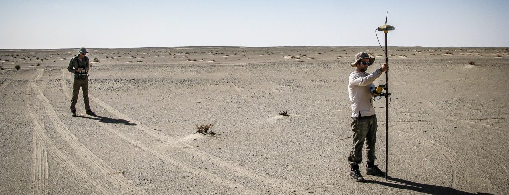
Aerial LiDAR Survey & UAV Mapping Services
TerraDat has been mapping the world in three dimensions since the earliest days of close-range photogrammetry and terrestrial laser scanning. As drone technology matured, we were at the forefront of integrating airborne LiDAR — and today our UAV-mounted sensor represents … Read More
Seismic Reflection
TerraDat has specialist experience in designing and implementing high-resolution seismic reflection surveys for onshore and shallow marine environments. The company routinely carries out seismic survey work for geotechnical and environmental applications as well as larger-scale work for oil/mineral exploration. … Read More
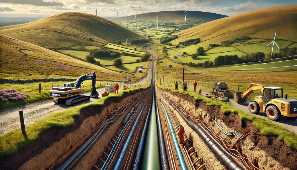
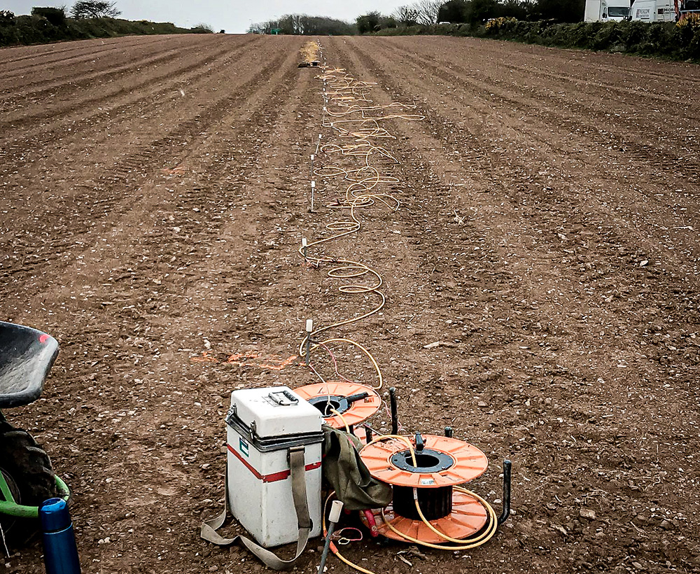
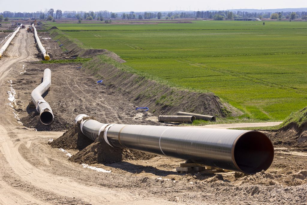
Geophysics for Mapping Geology along Pipeline Routes
Pipelines and cable routes present a set of unique developmental and geotechnical challenges. TerraDat has designed an integrated survey approach, providing data useful to all stages of the project design. Archaeological assessments and UXO detection: Due to the large distances … Read More