We know complex geophysical surveys, but we keep things down to earth. With over 30 years of expertise, TerraDat is your trusted partner in engineering, environmental, energy, and archaeological ground investigations.
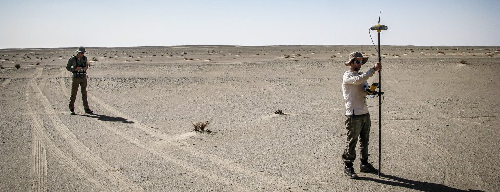
At TerraDat, we understand the importance of reliable geophysical surveys for making informed decisions. Our experienced team of geophysicists use advanced technology to provide precise insights into subsurface conditions, ensuring your project’s success. We tailor each survey to deliver the specific data you need, always focusing on practical outcomes.
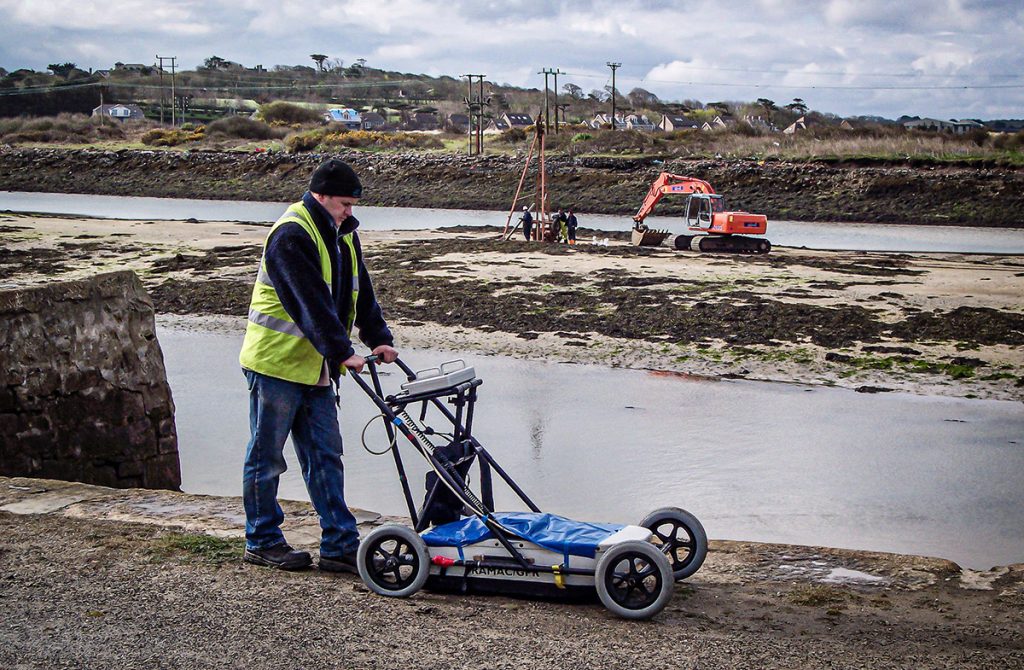
TerraDat has been a GPR survey company since the technique evolved to a level where it could be applied to a wide range of applications over 20 years ago. Because the GPR method involves analysis of wave-form data, our experience … Read More
Mapping Shallow Abandoned Mineworkings using Geophysics
The problem of mapping shallow abandoned mine workings is significant in the re-development of brownfield sites or land reclamation in former mining areas. A TerraDat Geophysics survey can mitigate the risks of mapping mine workings using conventional ground investigation methods. … Read More
GeoVoyager: A Collaboration with the Royal Society and Cowbridge School
We’re pleased to announce a partnership with Cowbridge School for an innovative educational project called GeoVoyager. The collaboration is made possible thanks to a STEM Partnership Grant from The Royal Society, the oldest scientific institution in continuous existence since 1660. … Read More
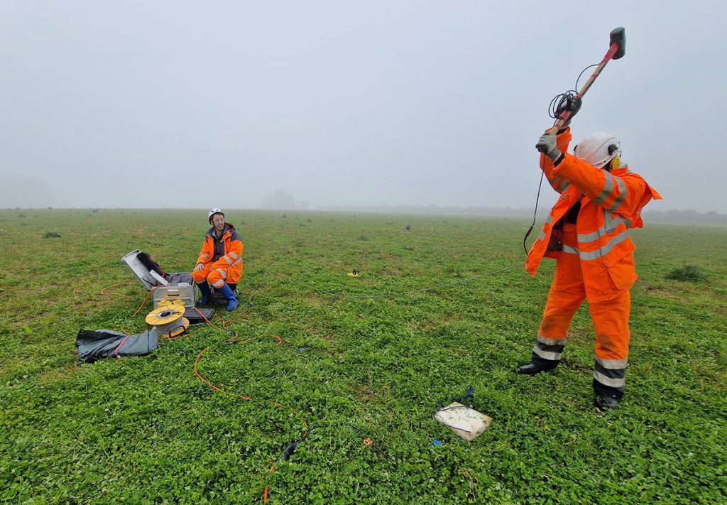
Specialist Seismic Refraction Survey Company
TerraDat is a specialist Seismic refraction survey company with many years of experience applying and researching its use in shallow engineering and geotechnical work. Seismic survey methods provide a useful tool for investigating geological structure and rock properties. The technique … Read More
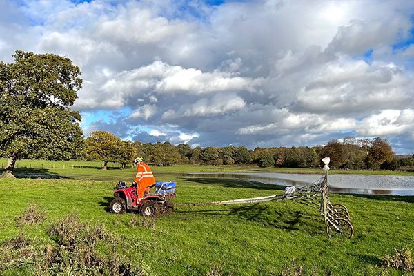
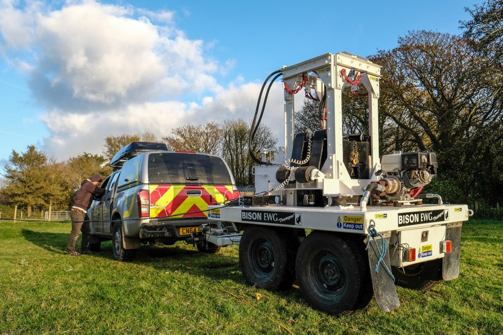
Meet Bison “Thumper” – our seismic weight drop…
TerraDat’s expertise in shallow seismic surveying to profile bedrock and map changes in subsurface engineering properties goes to another level with the recent acquisition of a powerful weight drop source. As far as we know, it’s the only one of … Read More
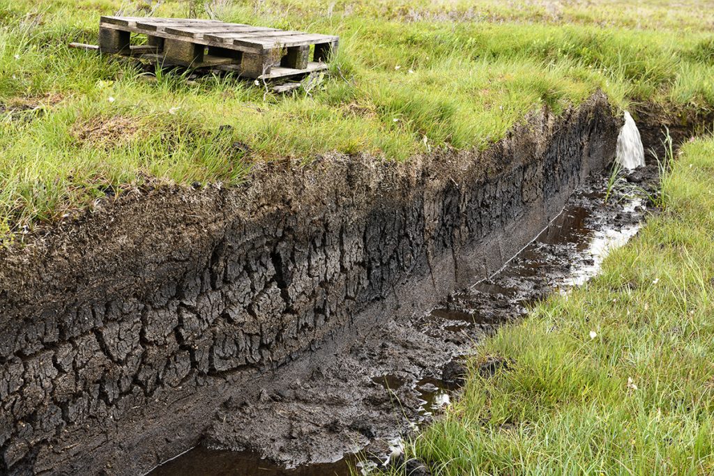
Peat Mapping using Geophysics (Peat Surveys)
Mapping peat is a common requirement for proposed developments such as wind farms and pipeline routes where they cross remote and/or sensitive areas. There are several geophysical methods that can provide plan and cross-sectional information to map the distribution of … Read More
Crosshole Seismics
Seismic methods can provide detailed information about rock properties and geological structure between boreholes. Fewer boreholes are needed to achieve a continuous picture of the subsurface, thereby reducing overall costs and the risk of missing target features. Borehole seismic methods … Read More
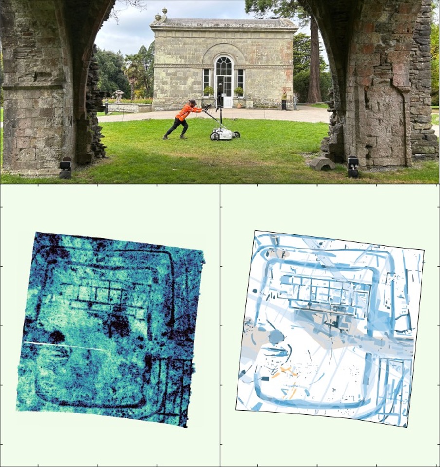
TerraDat reveals ‘Port Talbot’s Pompeii’ at Margam Park
TerraDat was privileged to conduct the geophysical survey at Margam Country Park that revealed a substantial Roman villa While much of our work involves commercial geophysical surveys for infrastructure and engineering developments, it was wonderful to collaborate closely with archaeologists … Read More
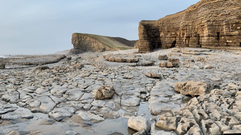
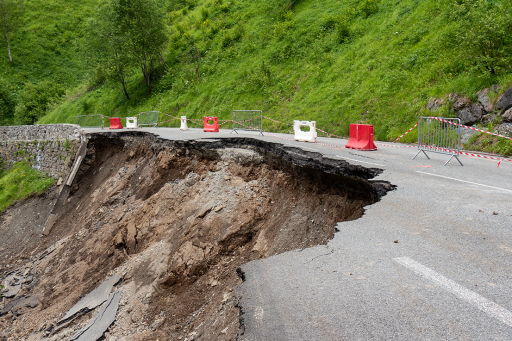
Slope Stability: Understanding Slope Stability using Geophysics
TerraDat has developed a strategy for investigating slope stability that provides key engineering properties for managing and monitoring existing and potential landslides. While each site is considered unique with respect to the survey design, the methods that most often prove … Read More