Seismic methods can provide detailed information about rock properties and geological structure between boreholes. Fewer boreholes are needed to achieve a continuous picture of the subsurface, thereby reducing overall costs and the risk of missing target features. Borehole seismic methods largely fall into two categories: Crosshole Seismics and Seismic Tomography.
Crosshole Seismics typically involves shooting at regular depth intervals from one borehole to another and simply deriving the velocity of the signal travelling between them. Given the measured velocities, it is possible to derive elastic modulae for the material between the boreholes as it varies with depth. Carrying out a survey using compressional (P) waves and shear (S) waves enables the derivation of Poisson’s ratio. In contrast, the introduction of density information (from measurement or estimation) enables the derivation of Bulk Modulus and Shear Modulus values.
Borehole Seismic Tomography typically involves shooting at discrete depth intervals in one borehole and measuring the velocity of the signal travelling to multiple receivers at different depths in another borehole. Using this method, data are acquired along a great number of ray paths between boreholes, enabling the derivation of a detailed image of the rock mass through tomographic inversion of the data. The method can be used to resolve features such as voids, large fracture zones and geological structures where contrasting lithologies are encountered.
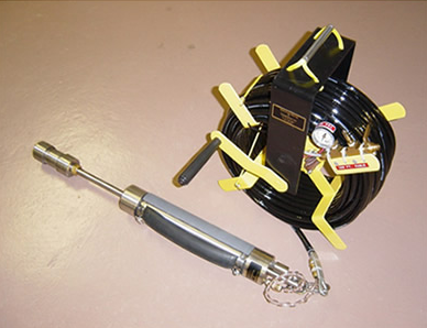
TerraDat's new Electro-mechanical (S&P) wave source for Crosshole Surveys
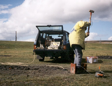
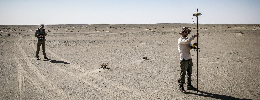
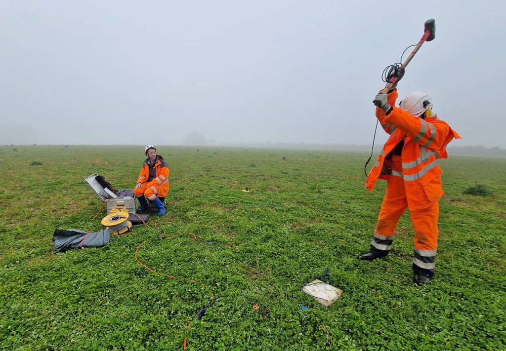
Down-hole shear wave survey through colliery spoil, South Wales
Borehole Seismic Tomography typically involves shooting at discrete depth intervals in one borehole and measuring the velocity of the signal travelling to multiple receivers at different depths in another borehole. Using this method, data are acquired along a great number of ray paths between boreholes, enabling the derivation of a detailed image of the rock mass through tomographic inversion of the data. The method can be used to resolve features such as voids, large fracture zones and geological structures where contrasting lithologies are encountered.
Typical Targets: Geological Hazards
Elastic Modulae
Fracture Zones
Caves/Stopes/Adits
Rock Structure
Benefits of Borehole Seismics:
Cost Efficient
Images Between Boreholes
Good Productivity
Non-invasive
Environmentally Friendly
The dynamic elastic modulus of the rock mass between boreholes can be readily derived using Crosshole seismic methods. Density information is required for some modulae and may be estimated from known lithological properties, measured directly in the field/lab or derived from a borehole logging survey. (b) the identification of low-velocity zones such as a cavity/solution feature, fracture zone or workings is a common requirement of seismic tomography surveys. They are clearly observed on the resulting tomogram.
Related Services and Applications
GeoVoyager: A Collaboration with the Royal Society and Cowbridge School
We’re pleased to announce a partnership with Cowbridge School for an innovative educational project called GeoVoyager. The collaboration is made possible thanks to a STEM Partnership Grant from The Royal Society, the oldest scientific institution in continuous existence since 1660. … Read More
Crosshole Seismics
Seismic methods can provide detailed information about rock properties and geological structure between boreholes. Fewer boreholes are needed to achieve a continuous picture of the subsurface, thereby reducing overall costs and the risk of missing target features. Borehole seismic methods … Read More
Aerial LiDAR Survey & UAV Mapping Services
TerraDat has been mapping the world in three dimensions since the earliest days of close-range photogrammetry and terrestrial laser scanning. As drone technology matured, we were at the forefront of integrating airborne LiDAR — and today our UAV-mounted sensor represents … Read More
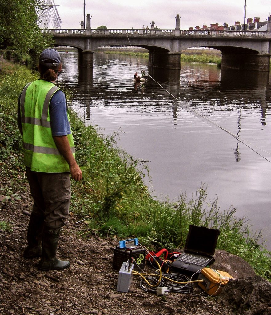
River Crossings: Profiling Geology using Geophysics
Many of our clients constructing roads, laying pipelines or investigating historic bridges find profiling the geology beneath rivers tricky using conventional ground investigation methods. Since the path rivers take is often dictated by changes in geology, the problem can be … Read More
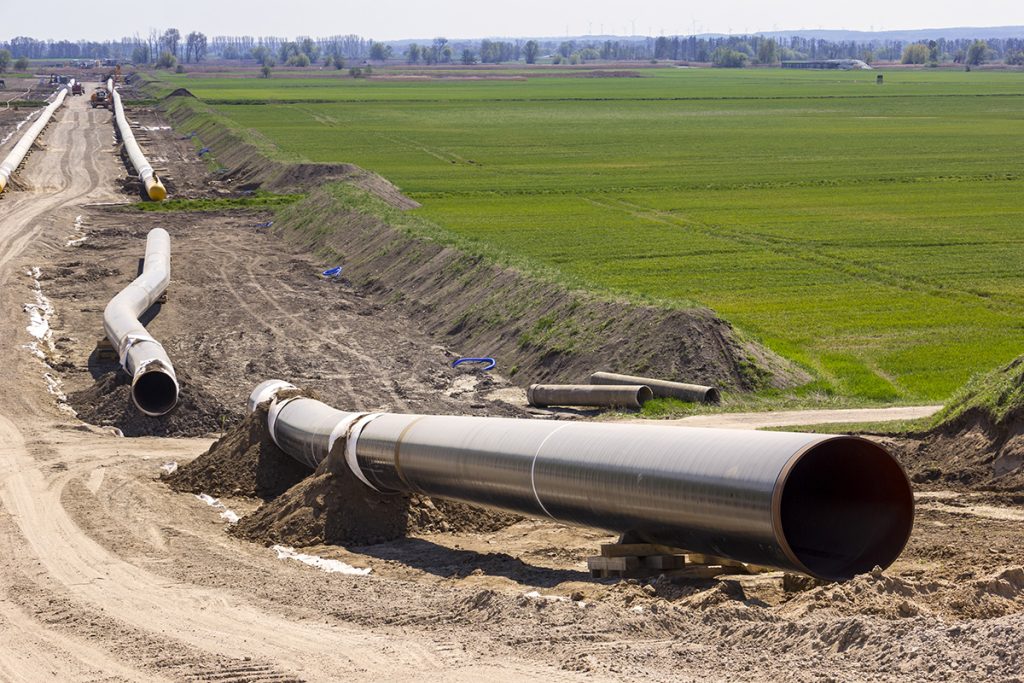
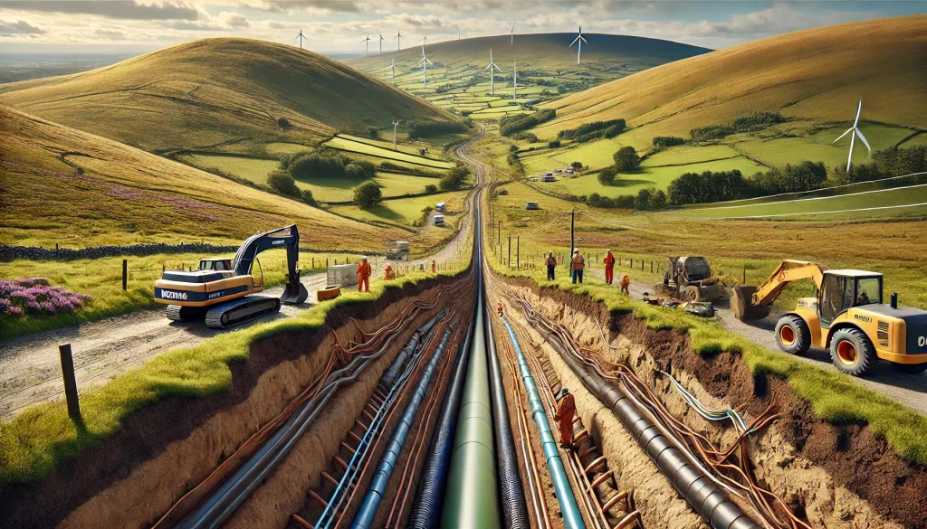
Geophysics for Mapping Geology along Pipeline Routes
Pipelines and cable routes present a set of unique developmental and geotechnical challenges. TerraDat has designed an integrated survey approach, providing data useful to all stages of the project design. Archaeological assessments and UXO detection: Due to the large distances … Read More
How we brought the evocative story of Swansea’s copper heritage to life using 3D Reality Capture
An evocative video combining the oral history of one of Wales’ most important industrial sites with a 3D digital model created from laser scan surveys are preserving its heritage for future generations as well as connecting local communities with their … Read More
Characterisation of Landfill Sites using Geophysics
Addressing the growing challenge of environmentally compliant landfill management, TerraDat provides expert geophysical survey services for both active and closed landfill sites. Our advanced, non-invasive techniques deliver high-resolution insights into landfill composition and boundaries, surpassing traditional methods in efficiency and … Read More
An interview with TerraDat co-founder Nick Russill
In this interview with Alan Wick, originally broadcast on his radio show, you will hear from TerraDat co-founder Nick Russill about: How to continue to grow your business by innovating and staying agile Why it’s important to sometimes say ‘No’ … Read More
MASW (Surface Wave Surveys)
Multi-channel Analysis of Surface Waves (MASW) is a very useful method for investigating shallow geological structure and, in particular, the relative shear strength of subsurface materials. By incorporating density values for the local bedrock and overburden sediments it is possible … Read More
How TerraDat’s work is helping monitor climate change
Twenty years ago, geophysics specialists at TerraDat became involved in a major pan-European project to measure the impact of climate change on permafrost in the mountains of Europe. The PACE (Permafrost And Climate in Europe) Project began monitoring a large … Read More
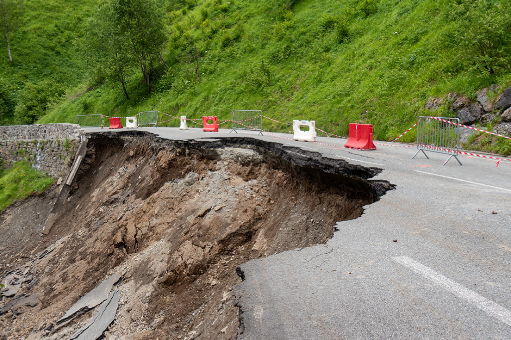
Slope Stability: Understanding Slope Stability using Geophysics
TerraDat has developed a strategy for investigating slope stability that provides key engineering properties for managing and monitoring existing and potential landslides. While each site is considered unique with respect to the survey design, the methods that most often prove … Read More
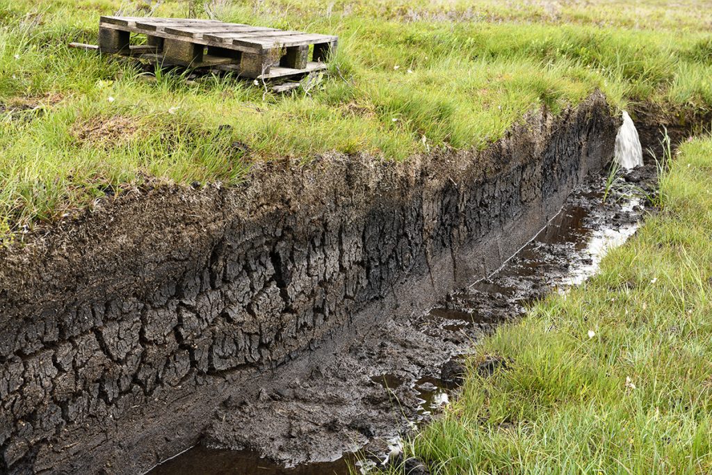
Peat Mapping using Geophysics (Peat Surveys)
Mapping peat is a common requirement for proposed developments such as wind farms and pipeline routes where they cross remote and/or sensitive areas. There are several geophysical methods that can provide plan and cross-sectional information to map the distribution of … Read More
Shallow Geophysics for Transmission Cable Route Characterisation
Shallow geophysics plays a crucial role in characterizing the subsurface for transmission cable routes, offering significant advantages to transmission teams working on energy infrastructure projects. By employing non-invasive geophysical techniques, energy providers can optimize cable route planning, reduce environmental impact, … Read More
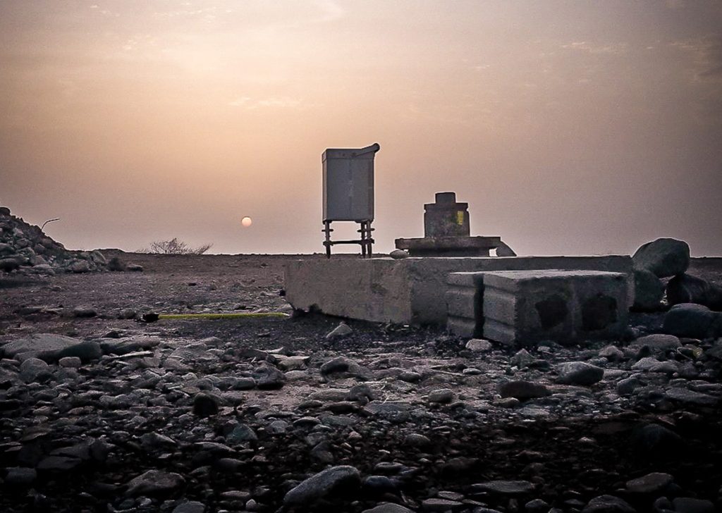
Mapping Shallow Abandoned Mineworkings using Geophysics
The problem of mapping shallow abandoned mine workings is significant in the re-development of brownfield sites or land reclamation in former mining areas. A TerraDat Geophysics survey can mitigate the risks of mapping mine workings using conventional ground investigation methods. … Read More
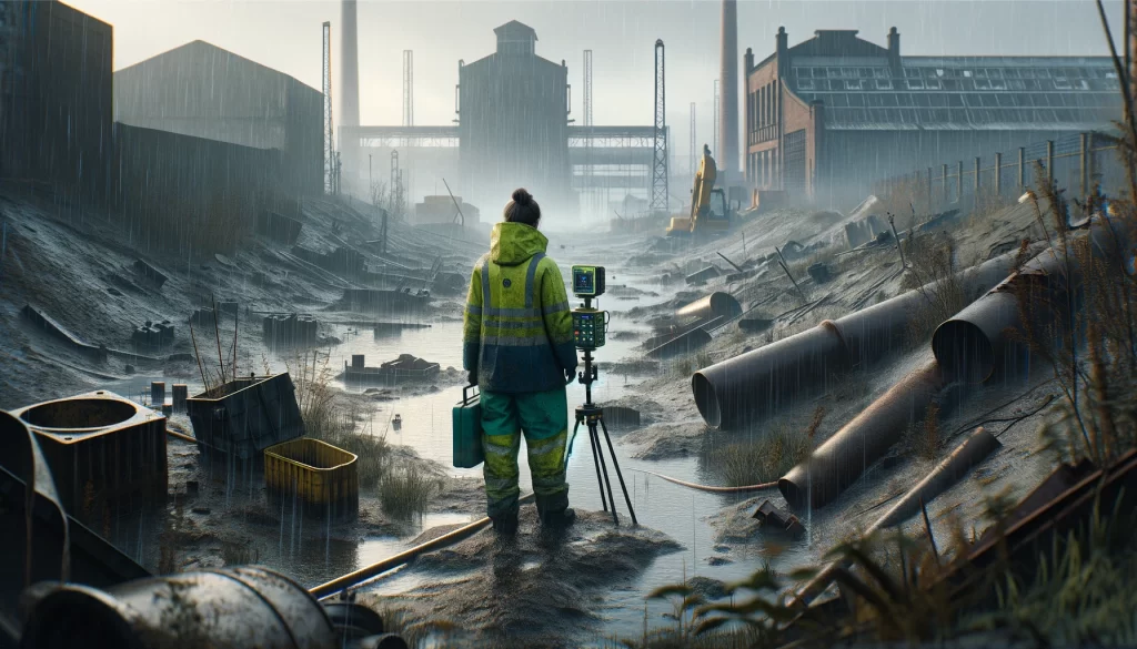
Brownfield Site Investigation using Geophysics
Most former industrial sites have a legacy of buried structural hazards and contamination. Geophysical surveys can detect buried targets without the need to excavate. Many industrial contaminants, such as salinisation by acids and hydrocarbon plumes, can leave a significant geophysical … Read More
Experienced Ground Radar (GPR) Company
TerraDat has been a GPR survey company since the technique evolved to a level where it could be applied to a wide range of applications over 20 years ago. Because the GPR method involves analysis of wave-form data, our experience … Read More
Specialist Seismic Refraction Survey Company
TerraDat is a specialist Seismic refraction survey company with many years of experience applying and researching its use in shallow engineering and geotechnical work. Seismic survey methods provide a useful tool for investigating geological structure and rock properties. The technique … Read More
Experts in Microgravity Surveys
A TerraDat microgravity survey is based on measuring localised variations in the Earth’s gravitational field using an extremely sensitive gravity meter. We own and operate the latest Scintrex gravimeters. A microgravity survey targets physical contrasts between materials of contrasting density. … Read More
Magnetics
The magnetic survey technique is based on mapping localised variations in the Earth’s magnetic field caused by sub-surface magnetic materials, which range from naturally occurring magnetic minerals to man-made ferrous objects. This leads to a wide range of applications, from … Read More
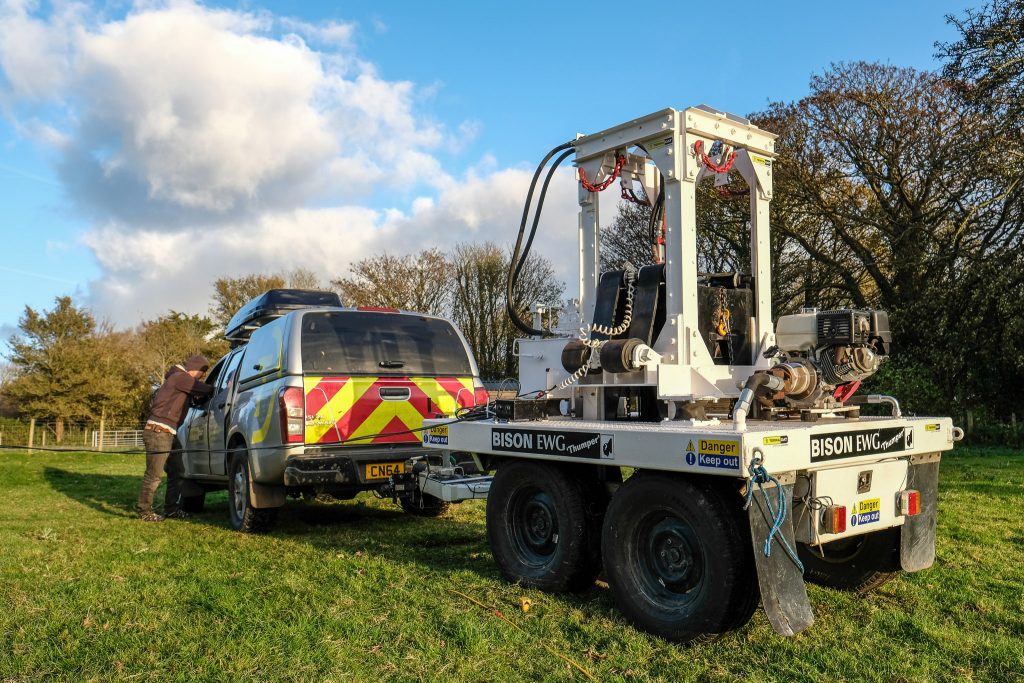
Meet Bison “Thumper” – our seismic weight drop…
TerraDat’s expertise in shallow seismic surveying to profile bedrock and map changes in subsurface engineering properties goes to another level with the recent acquisition of a powerful weight drop source. As far as we know, it’s the only one of … Read More
TerraDat uses state-of-the-art geophysical mapping techniques to map the subsurface. The benefit of geophysics is that it is non-invasive and can rapidly map large areas and reduce the chance of missing buried targets. We’ve been offering our services for over 25 years to clients from the engineering, environmental, energy and construction markets. Here are four case study booklets showing how geophysics can be applied to your ground investigations.