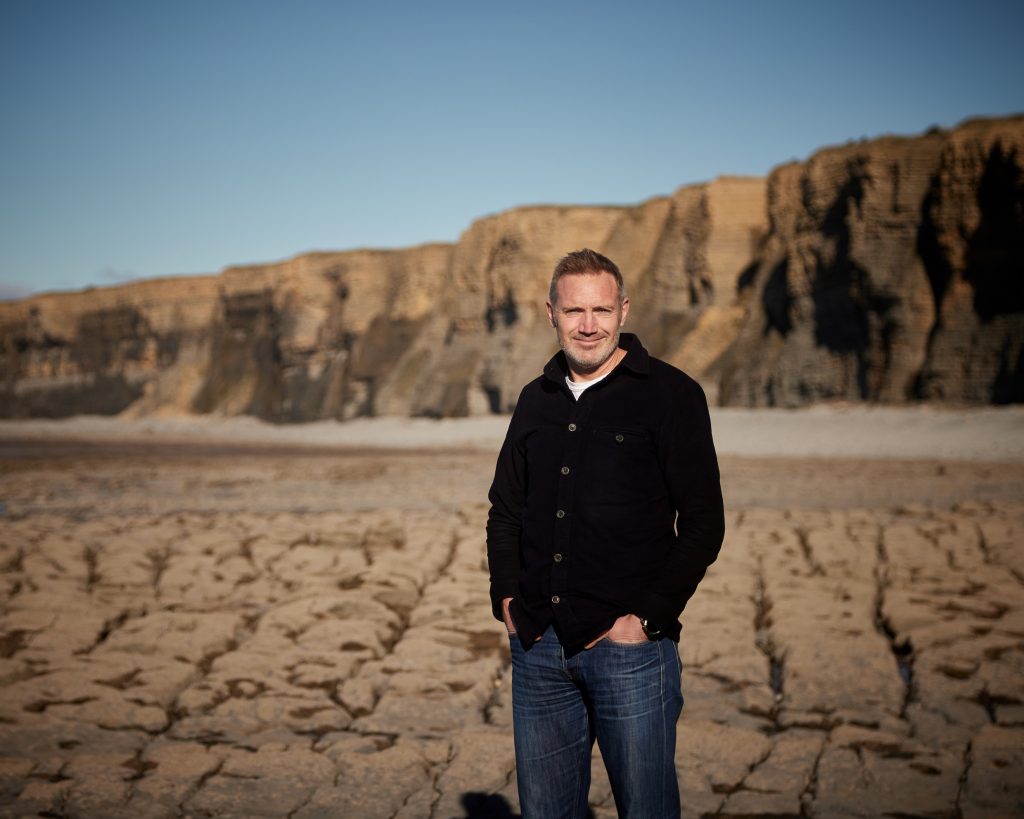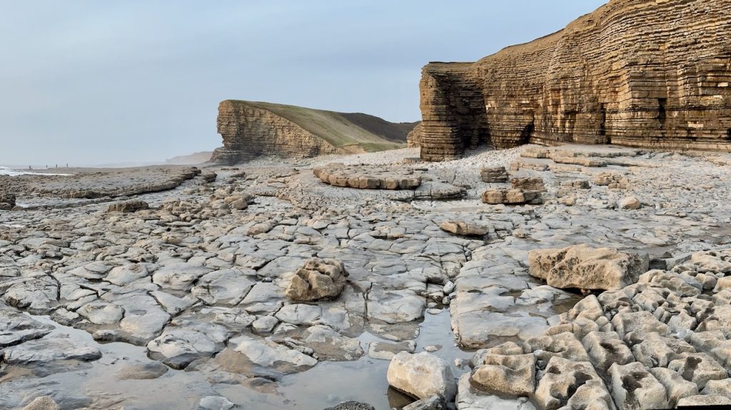
TerraDat has been a GPR survey company since the technique evolved to a level where it could be applied to a wide range of applications over 20 years ago. Because the GPR method involves analysis of wave-form data, our experience as specialst seismic company is of great benefit to the GPR technique.
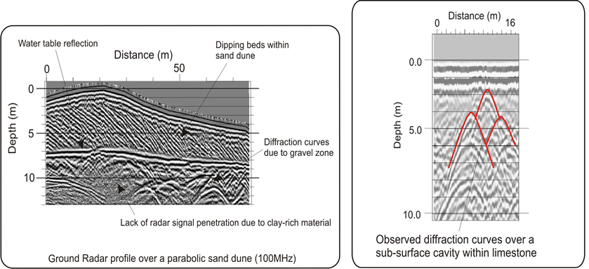
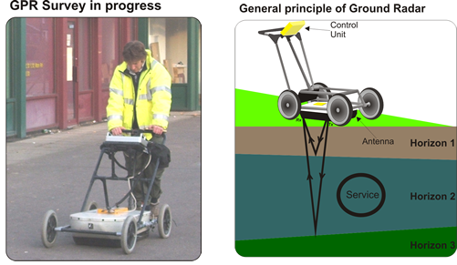
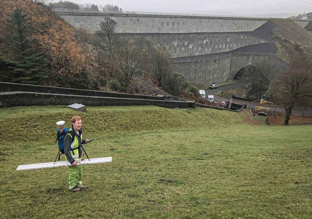
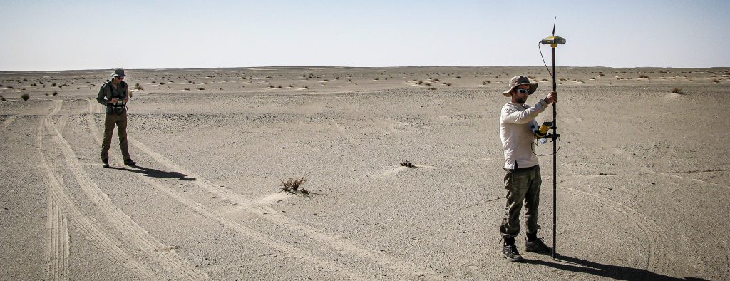
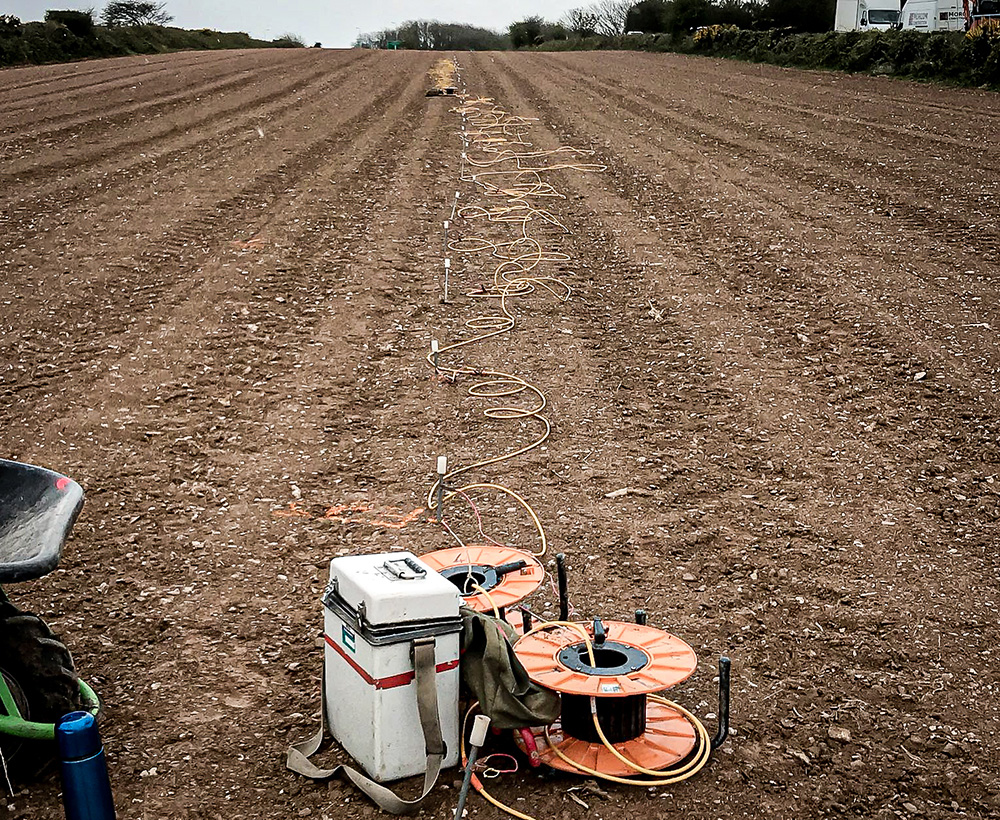
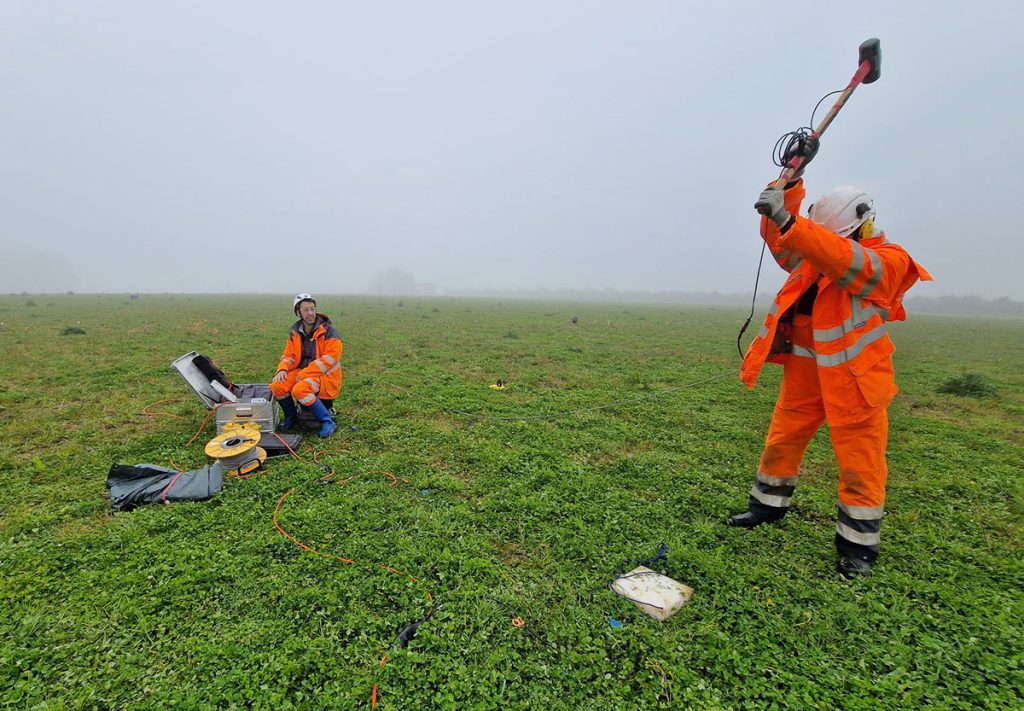
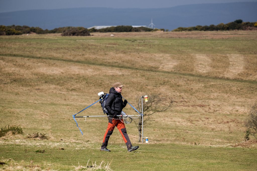
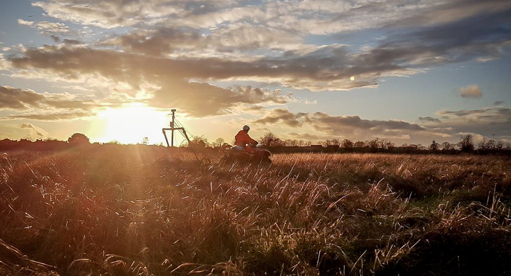
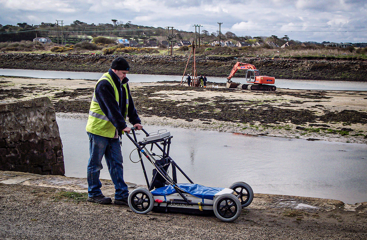
The GPR survey method involves one or two people continuously towing a radar system or taking readings at closely spaced intervals along selected traverse lines. GPR systems use a pulsed electromagnetic (radio wave) transmitted via a tuned frequency antenna that can penetrate soils, rock, concrete, and many other natural and man-made materials. Reflection events from geological or hydrological boundaries between sufficiently contrasting materials are recorded via a receiver antenna. A time-depth cross-section (radargram) of the shallow subsurface is constructed as the radar system is moved along a survey line. The radargram can be depth calibrated to enable detailed interpretation given known or measured velocities for the materials being investigated. While viewing relatively raw radar data can prove useful in the field, there are numerous processing routines that can be employed to improve the results significantly. Final sections are presented, showing annotated features of interest with apparent depth calibration.
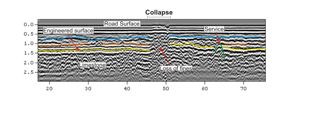
In order to improve the quality of the recorded radar data, a number of processing routines can be applied to the data using dedicated software (GPR Slice). The final radar sections are converted to depth by applying a conversion velocity, usually based on the local sediments’ average velocity value. Without any additional calibration, the measured depth to a particular feature is likely to be resolved within a 20% error margin, depending on the local velocity structure.