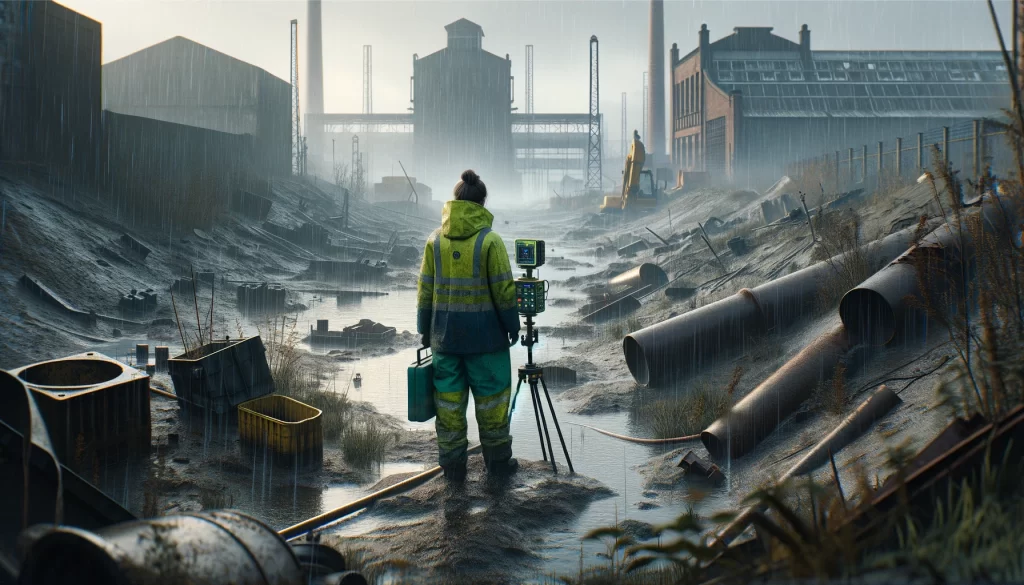
The magnetic survey technique is based on mapping localised variations in the Earth’s magnetic field caused by sub-surface magnetic materials, which range from naturally occurring magnetic minerals to man-made ferrous objects. This leads to a wide range of applications, from small-scale archaeology and engineering surveys to detect buried metallic objects to large-scale surveys carried out to investigate regional geological trends or mineralisation.
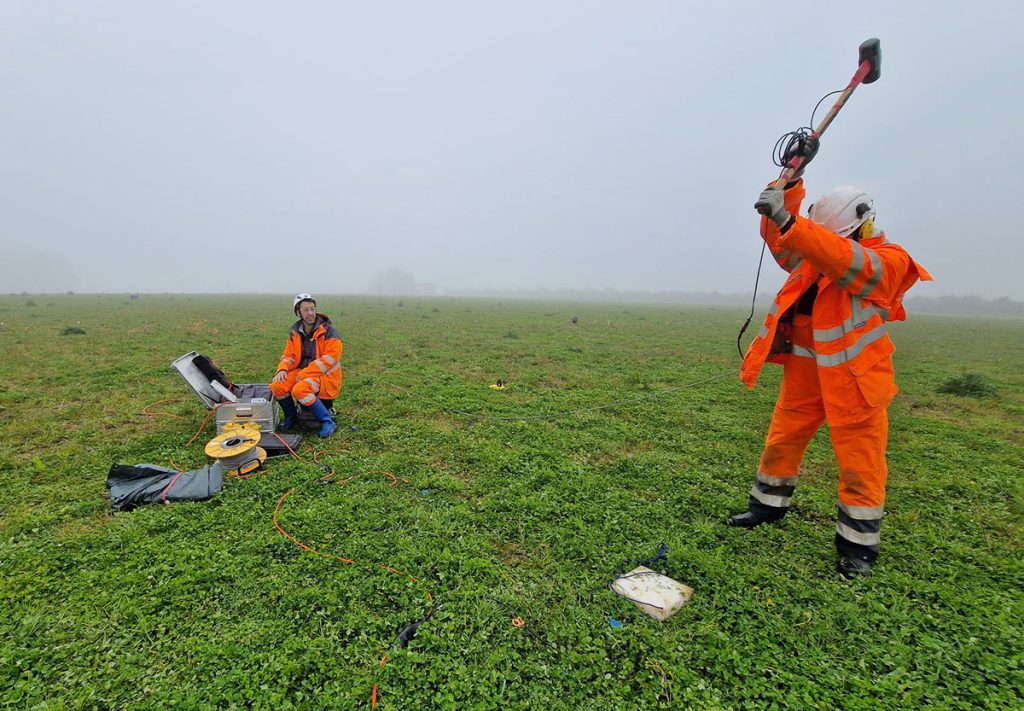
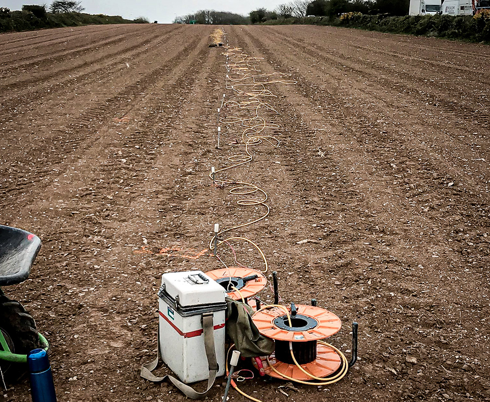
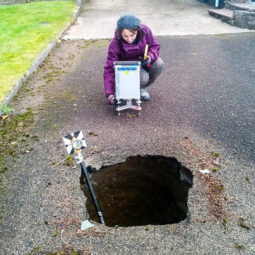
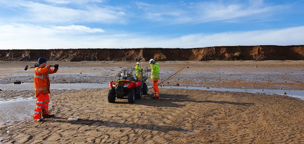
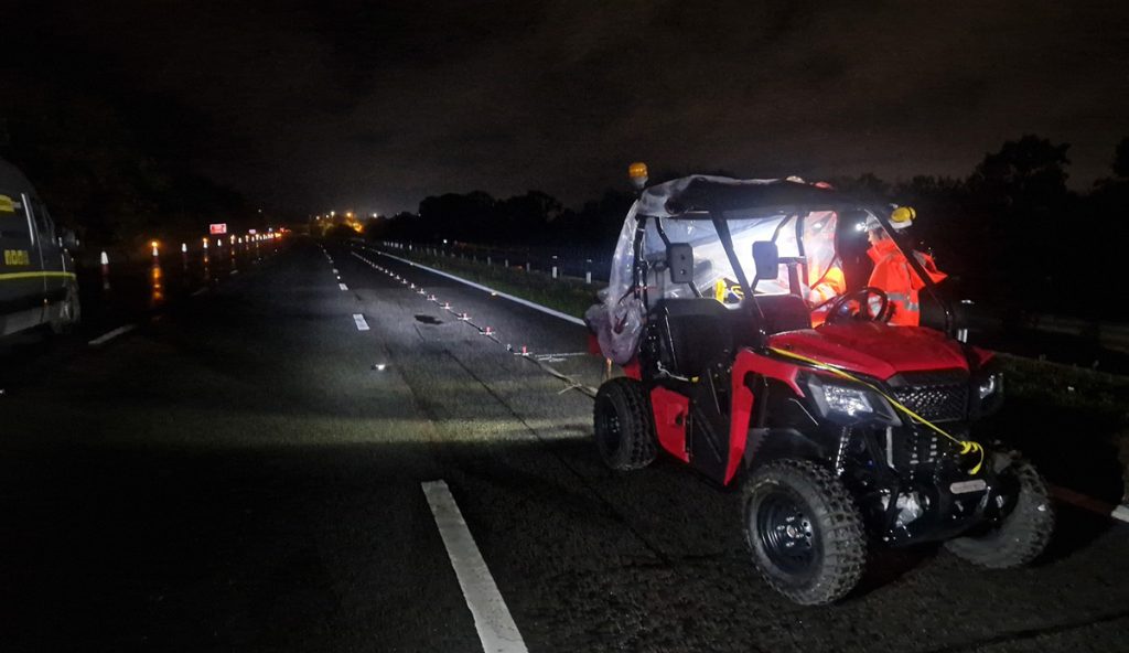
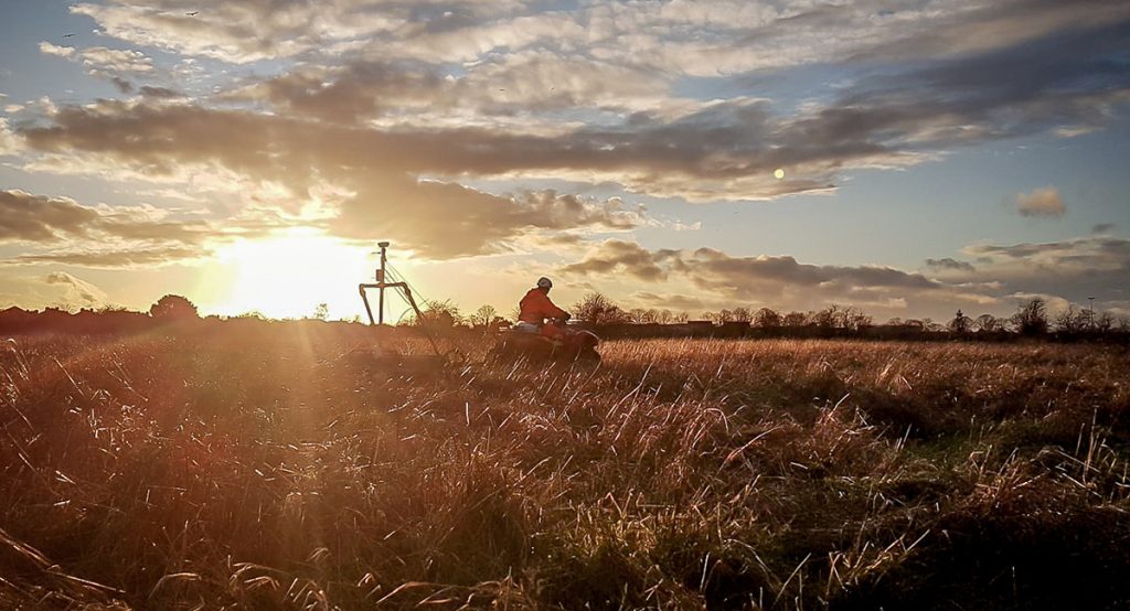
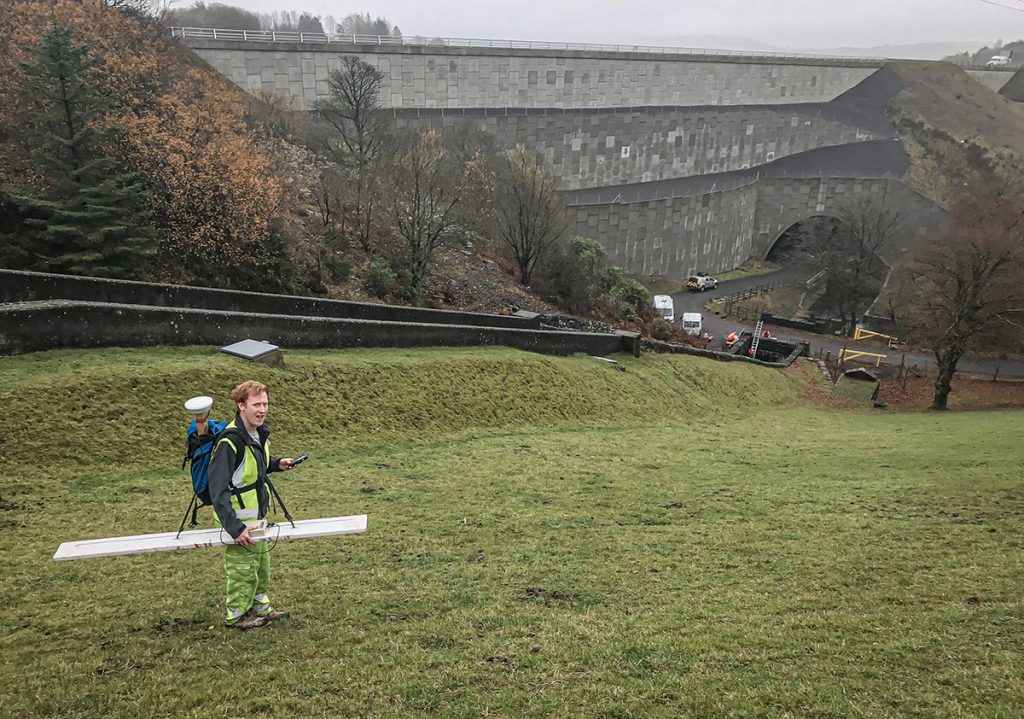
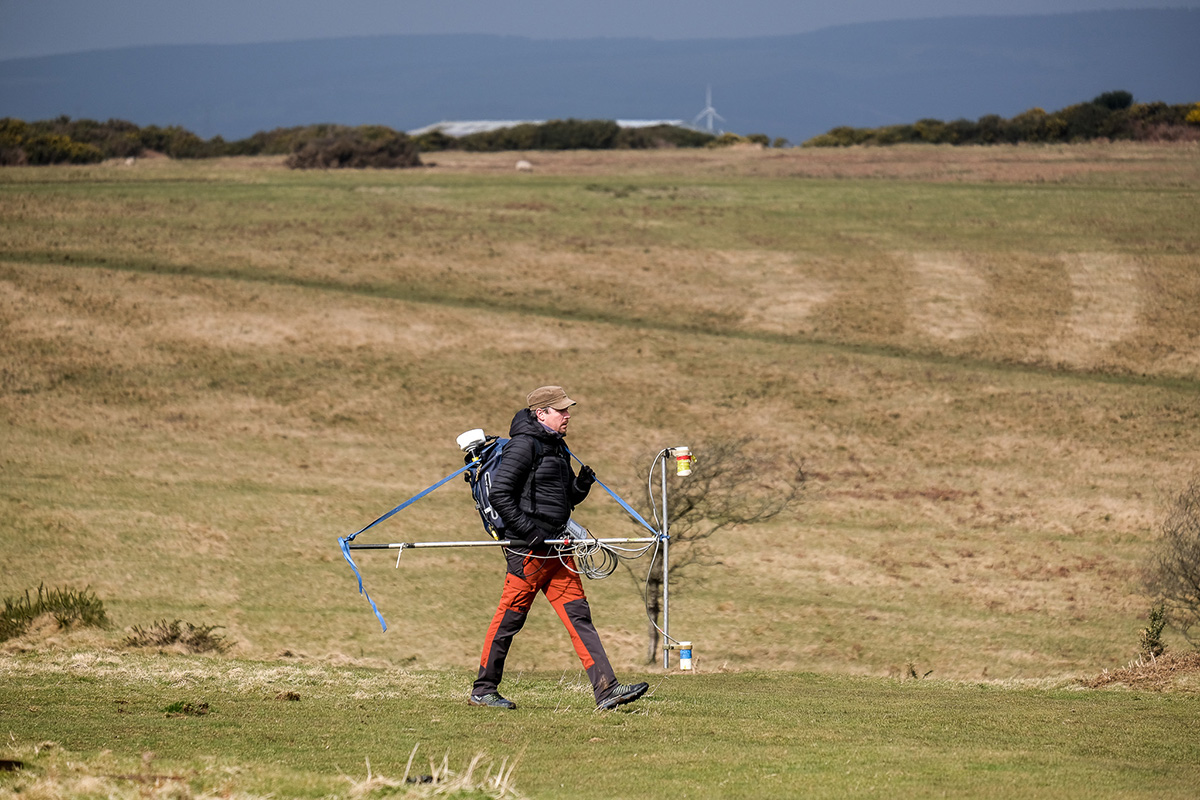
Magnetic surveys are carried out using a man-portable instrument with readings taken on a regular grid or along selected traverse lines. The equipment functions by measuring the Earth’s magnetic field to a very high precision at each survey station. Ferrous materials in the subsurface have an induced magnetic field that is superimposed on the Earth’s field at that location, creating a magnetic anomaly. The spacing of survey stations depends on the width of the expected anomaly, which broadens with the size, and depth of burial of the targeted feature. Continuous profiling methods may be used for a high-resolution dataset.
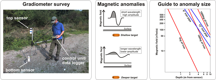
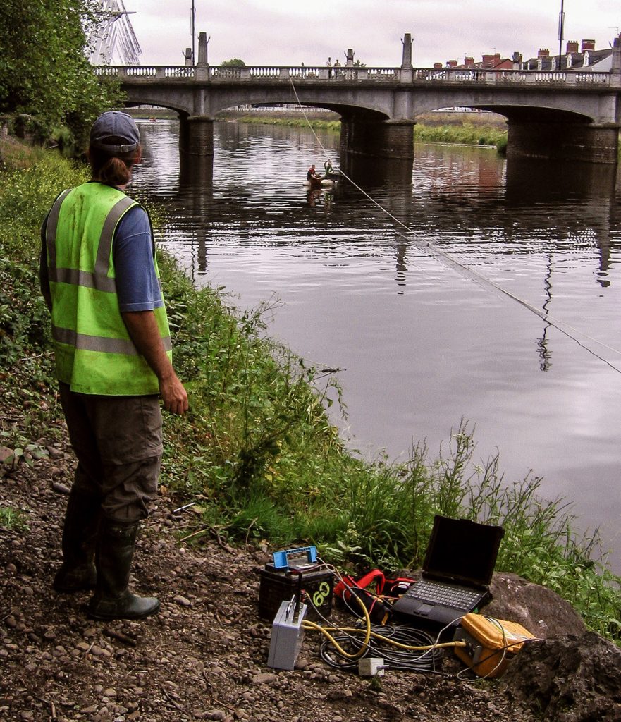
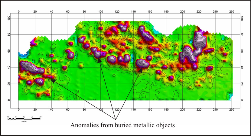
Magnetometer data are stored digitally by the survey instrument and down loaded to a field computer at the end of each day. The magnetic data are then processed to enhance any identifiable anomalies and presented on colour-contoured plots overlain with site maps (when available).
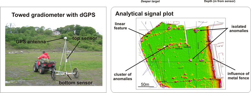
The magnetic survey results are usually presented as total field and analytical signal plots. The total field data may be used to observe the general character of the magnetic field across the survey area, while the peak values (pink) displayed on the analytical signal plot indicate the source positions for dipole-type magnetic anomalies. In general terms, the interpretation of a magnetic anomaly is based on observing the type (pole/dipole), amplitude and wavelength of the anomalous features.
Metal objects or structures close to the survey area (fences, vehicles, debris, etc.) produce a strong signal that can overshadow more subtle effects of sub-surface anomalies.