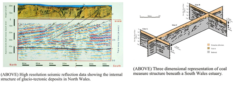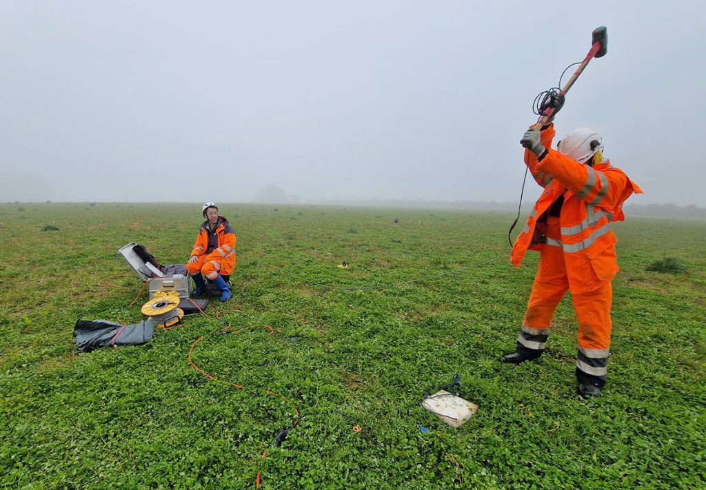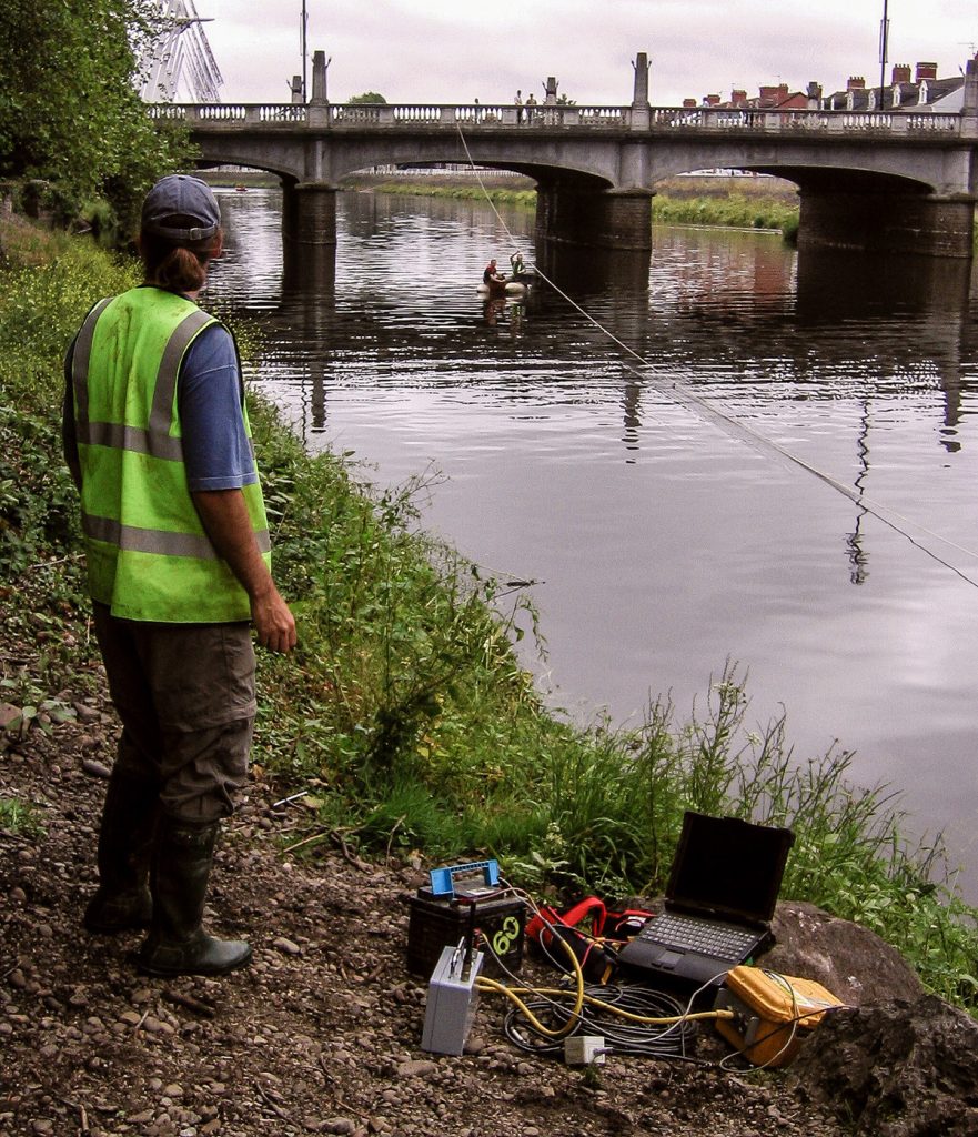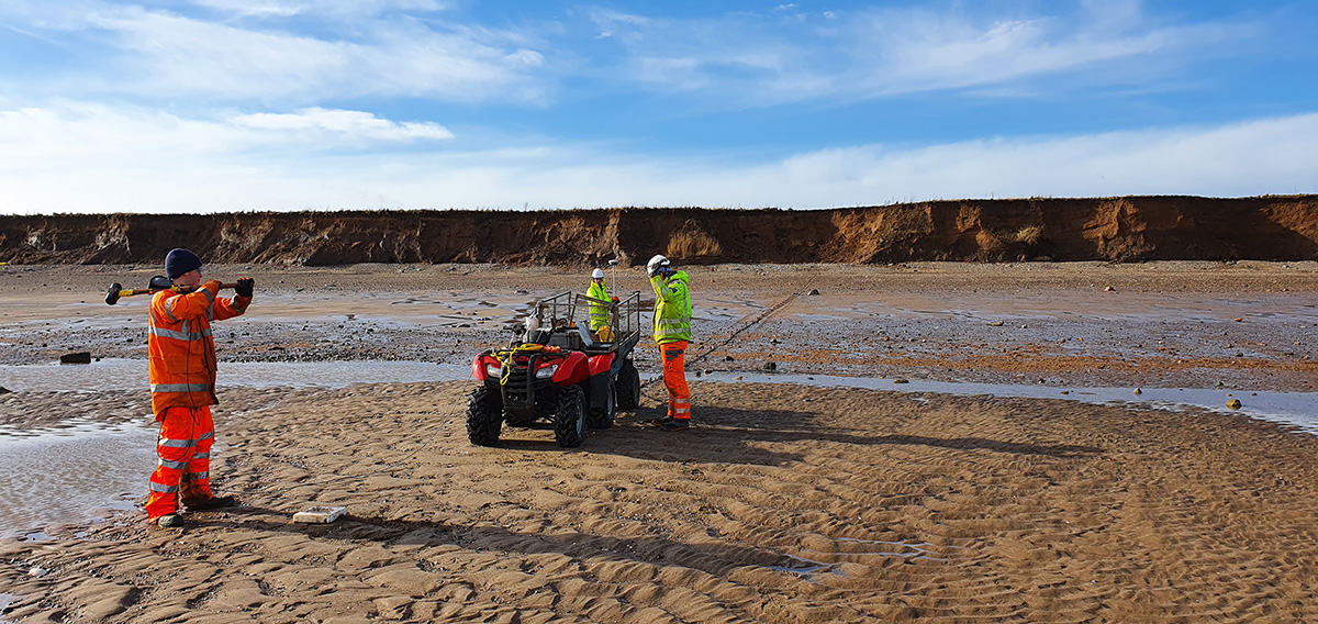
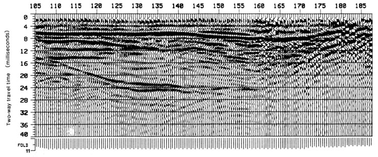
TerraDat has specialist experience in designing and implementing high-resolution seismic reflection surveys for onshore and shallow marine environments. The company routinely carries out seismic survey work for geotechnical and environmental applications as well as larger-scale work for oil/mineral exploration.
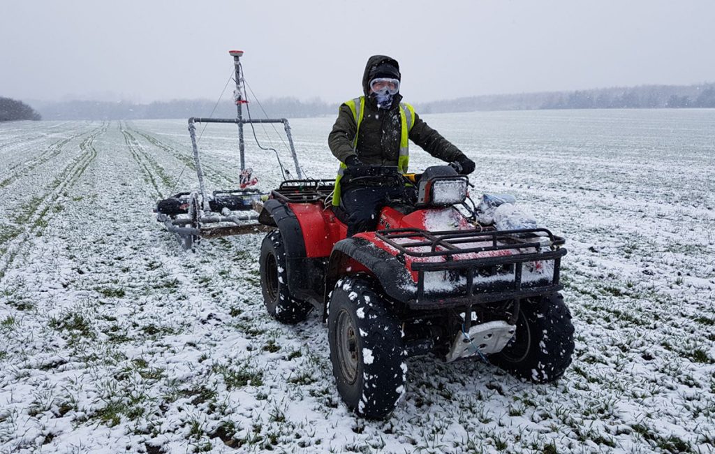
TerraDat operates a range of state-of-the-art seismic systems that can configured to meet the particular project requirement. These range from a simple 24-channel seismograph with PC-based processing software to the latest 120-channel telemetry seismic systems and PROMAX software.
TerraDat is actively involved with ongoing research into the use of shallow seismic reflection in testing environments with an incentive to promote its use for a more diverse range of applications. Several publications have been produced over the years and are available on request. The method requires careful planning where very shallow depths are to be investigated, but the results can prove to be invaluable.