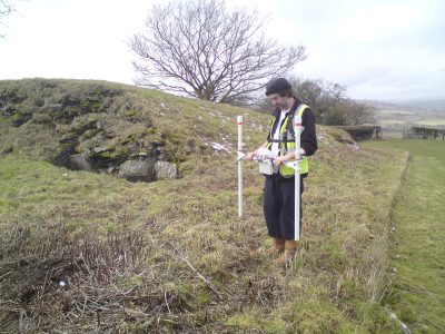
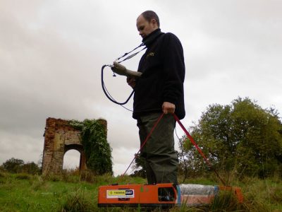
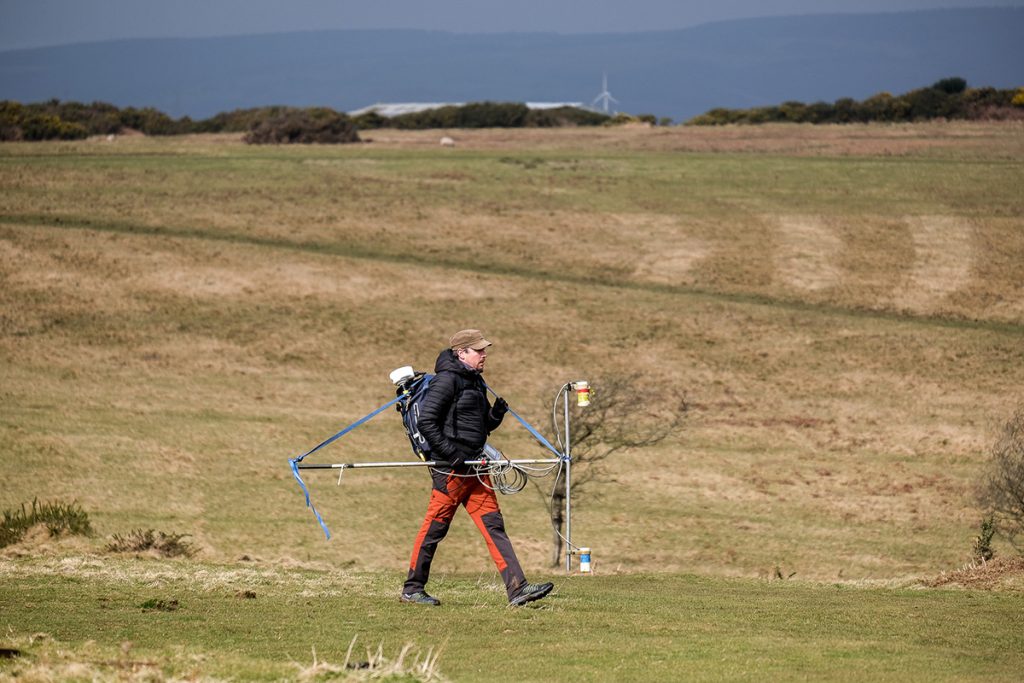
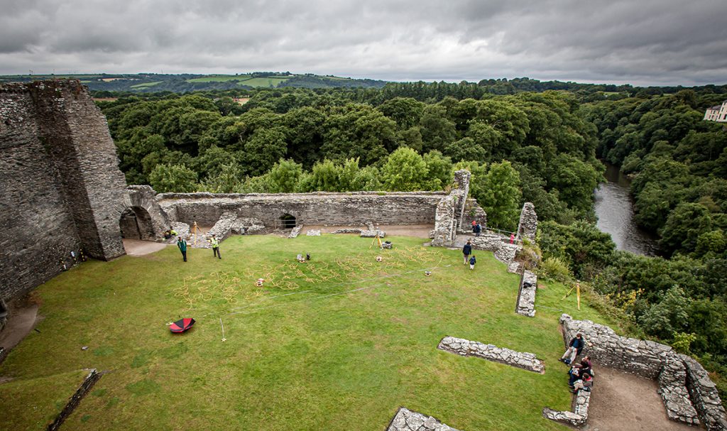
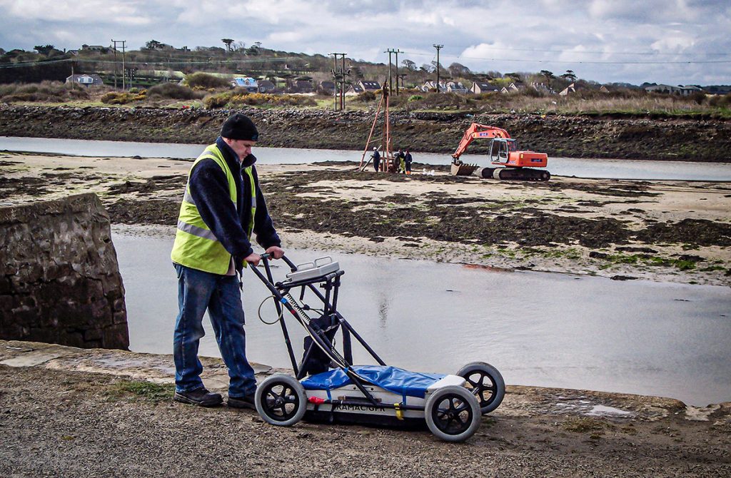
TerraDat’s archaeological geophysics team is uniquely placed to draw on decades of experience in applied geophysics and archaeological surveying. TerraDat’s approach uses our fully-trained geophysicists to deal with the geophysics while our archaeologists provide detailed interpretations of any identified features.
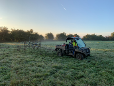
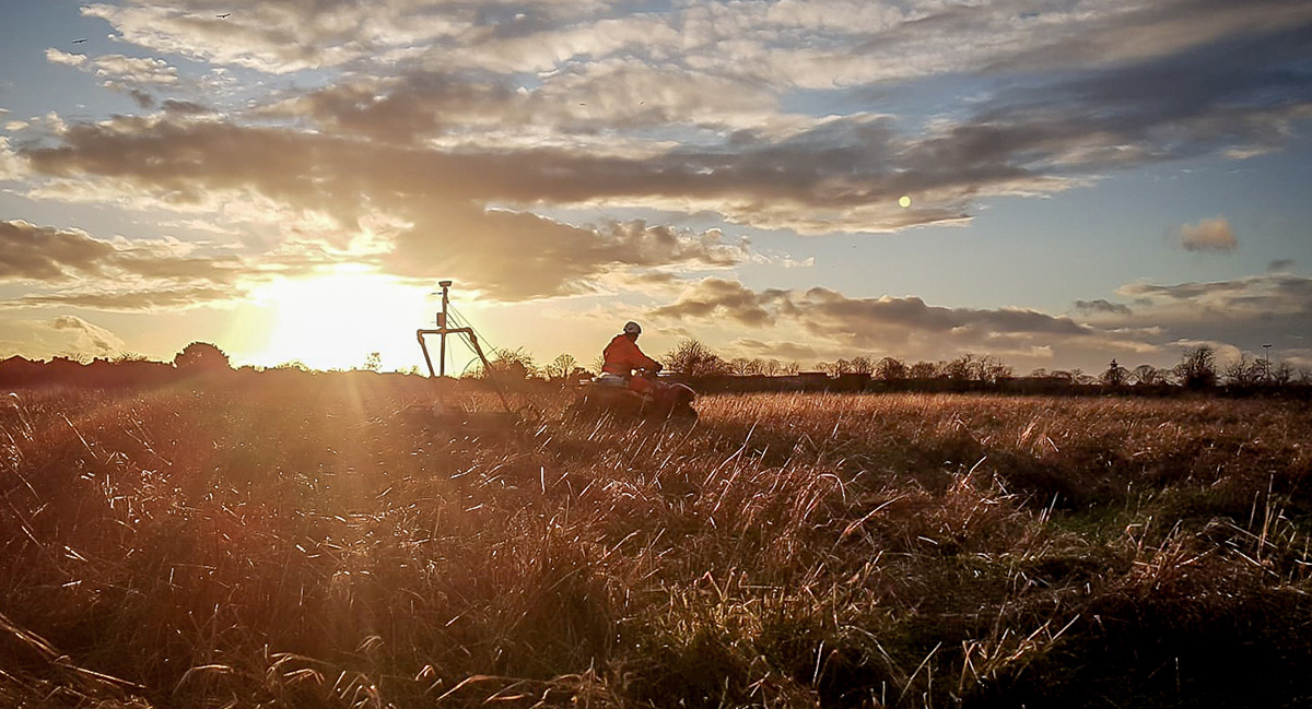
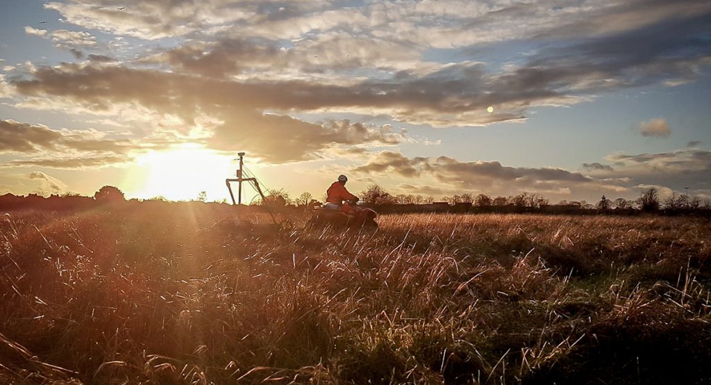
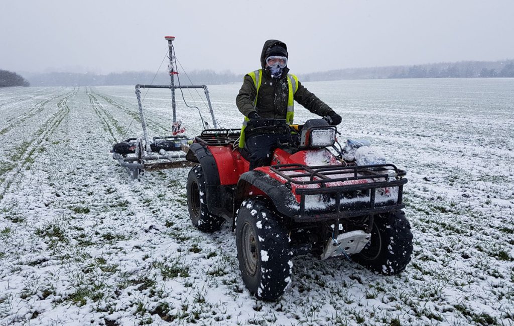
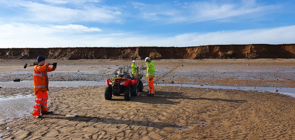
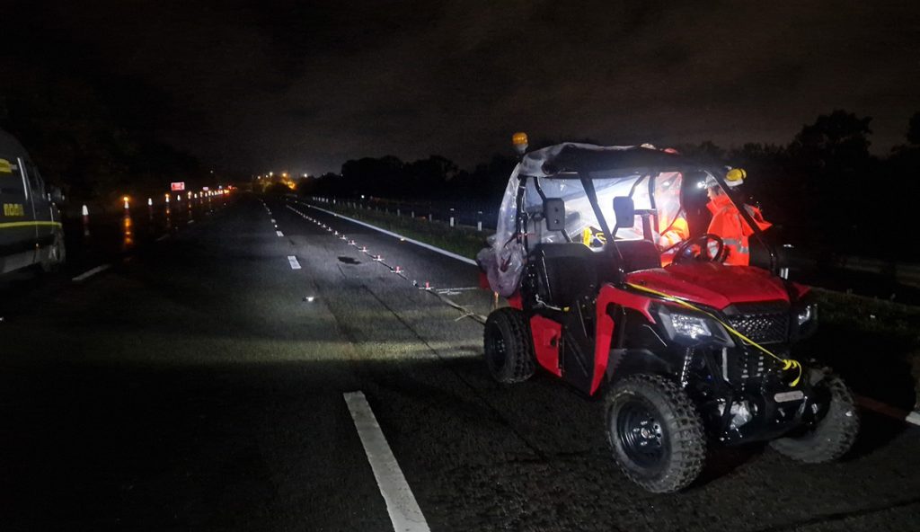
Survey productivity is maximised by using the latest Sensys magnetometers, particularly the Magneto MX magnetic gradiometry system. This system utilises eight Sensys gradiometer probes mounted on a bespoke carriage system. An RTK GPS provides real-time, sub-centimetre-accurate positioning. The system is towed across the survey area behind a 4×4 vehicle or ATV, acquiring swaths of data up to 3.5m wide. The probes are spaced at 0.5m intervals, giving twice the resolution of a conventional gradiometry survey.
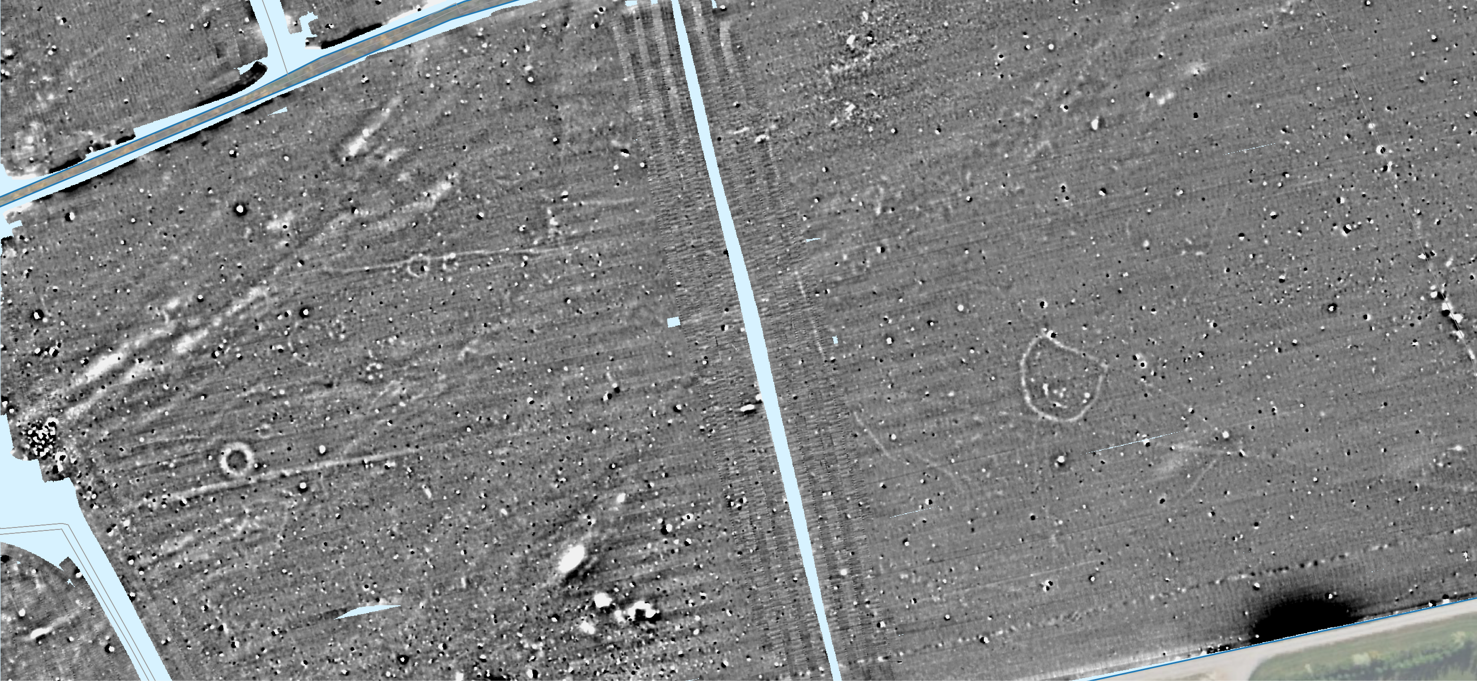
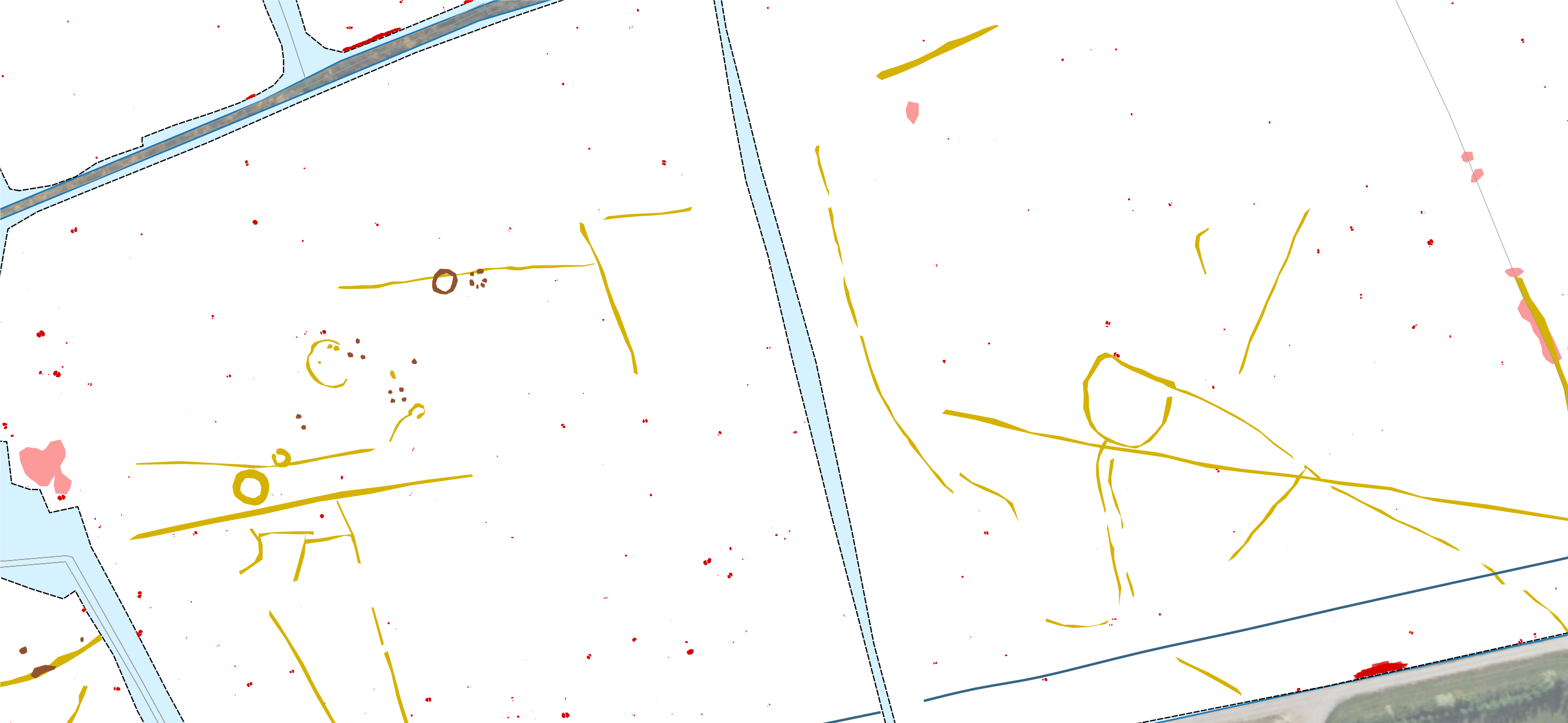
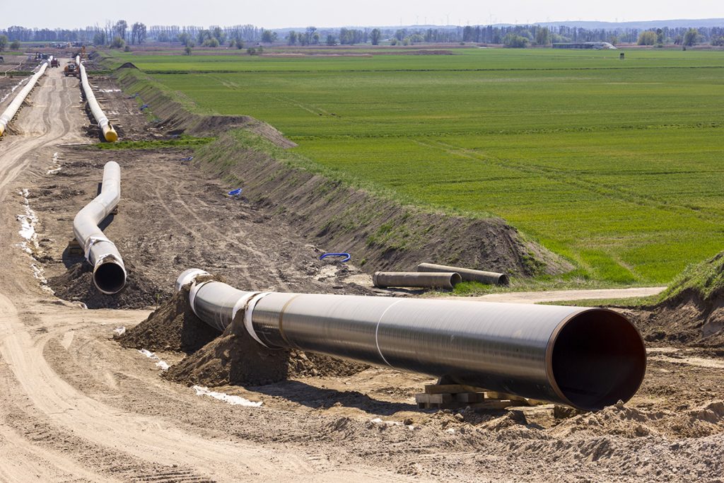
In optimum field conditions, the Sensys system allows acquisition rates of up to 20 hectares a day, significantly reducing survey costs and time over a conventional walked survey. It is ideal for scanning large sites for housing or solar energy or infrastructure projects such as roads/rail, cable routes, and pipelines.
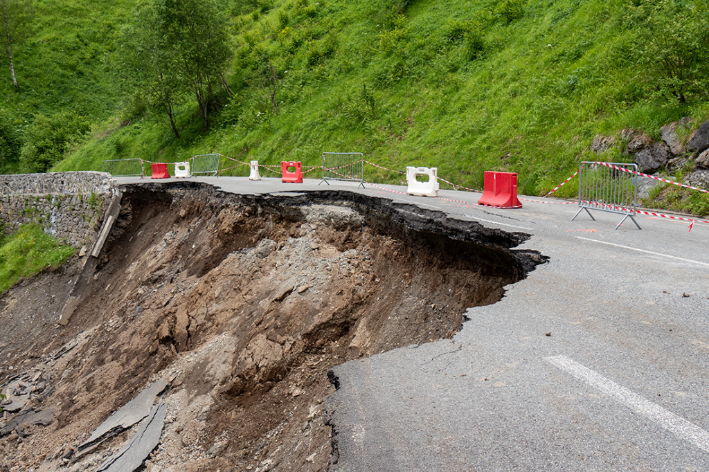
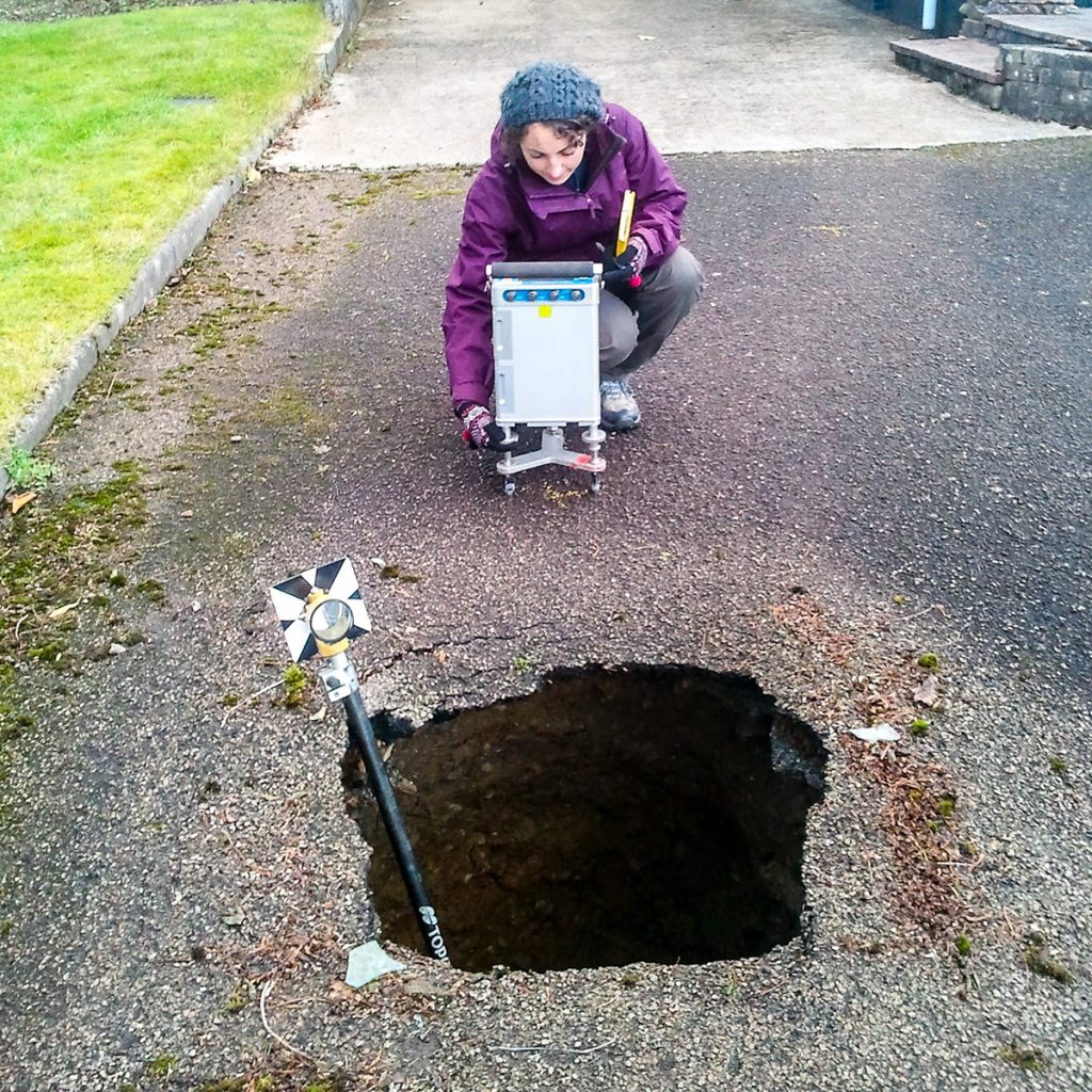
As one of the UK’s leading geophysical contractors, TerraDat’s enhanced processing and interpretation capabilities allow the results to be interrogated to provide additional information on a variety of site hazards such as shallow UXO, mine workings and buried structures and services.
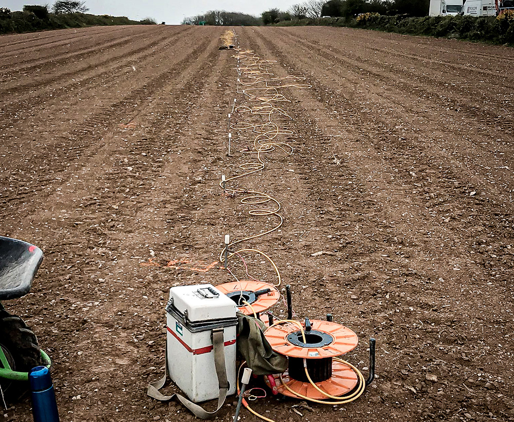
Other survey techniques that can be applied to archaeology include GPR, resistivity mapping, microgravity surveying and electromagnetic ground conductivity. TerraDat are uniquely equipped to help assist the investigation of archaeological sites by using our industry-leading, integrated approach to geophysics.
Key Benefits
- Up to 20 hectares a day
- Detailed reporting
- Complete geophysical and archaeological interpretation
- Twice the resolution of a conventional gradiometry survey
- Survey results provided in CAD/GIS formats
- Geological interpretation where appropriate
- UXO interpretation on request
