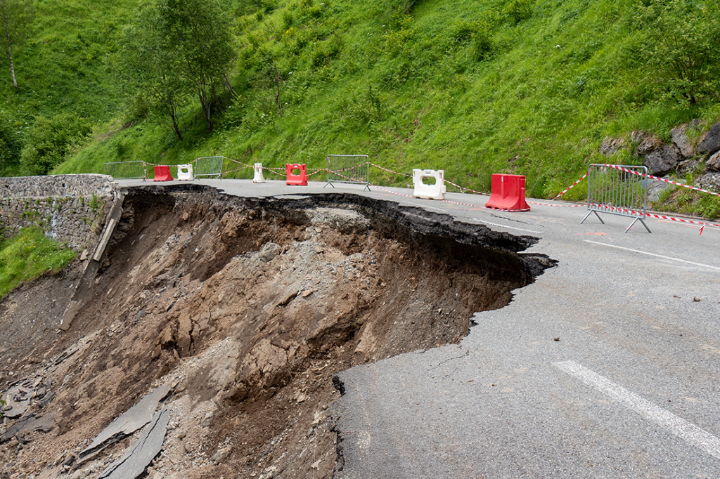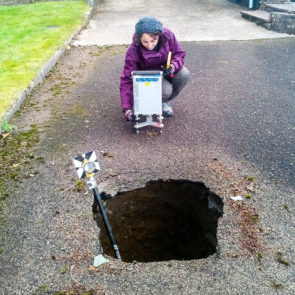
The problem of mapping shallow abandoned mine workings is significant in the re-development of brownfield sites or land reclamation in former mining areas. A TerraDat Geophysics survey can mitigate the risks of mapping mine workings using conventional ground investigation methods.
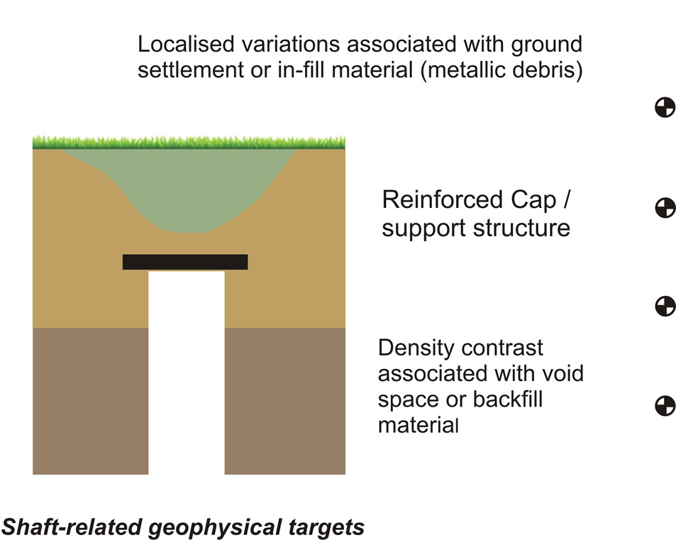
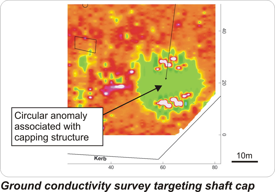
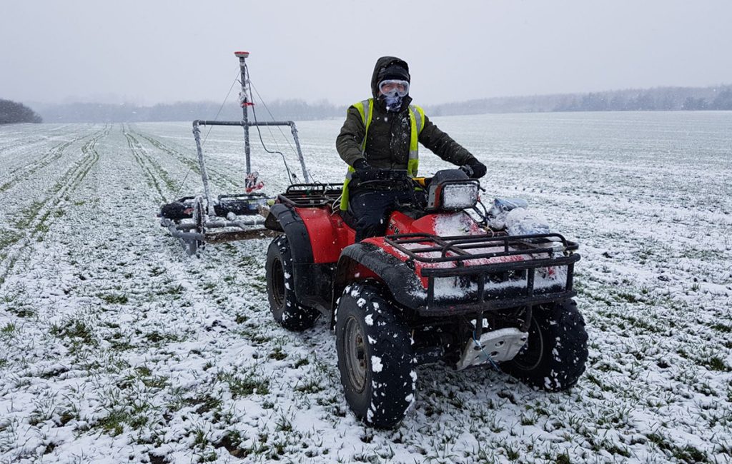
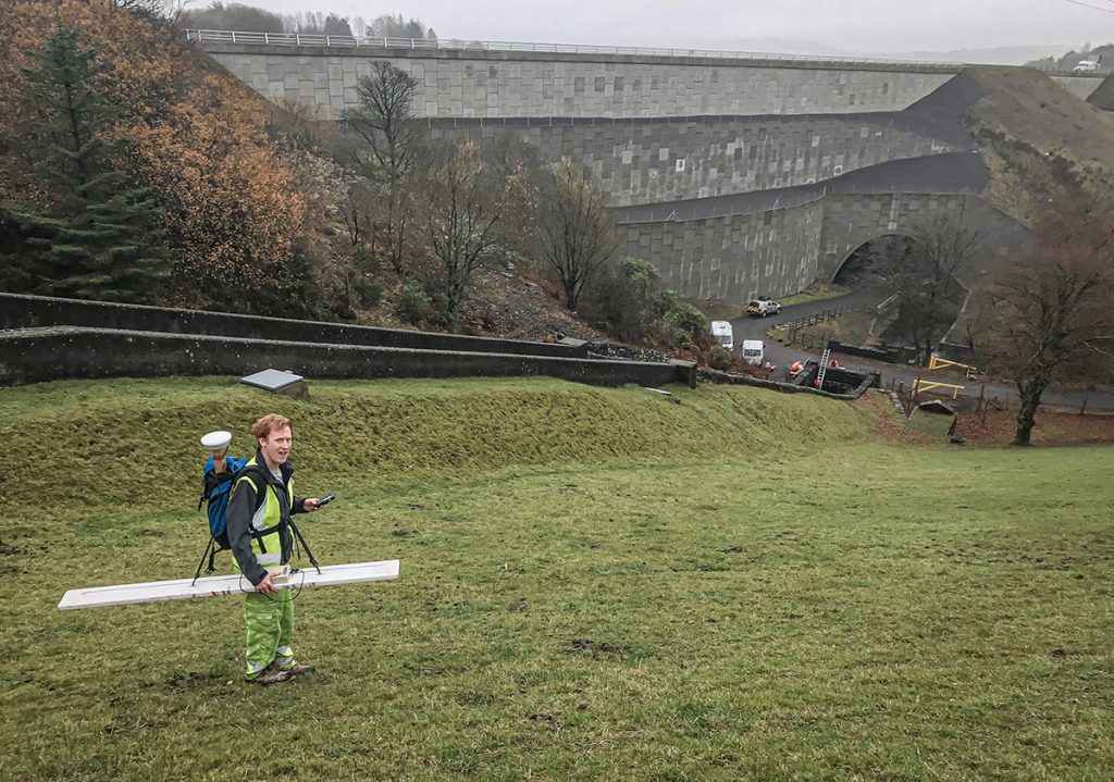
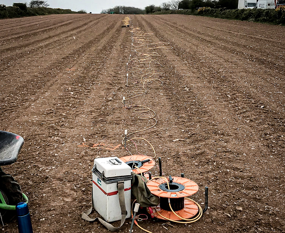
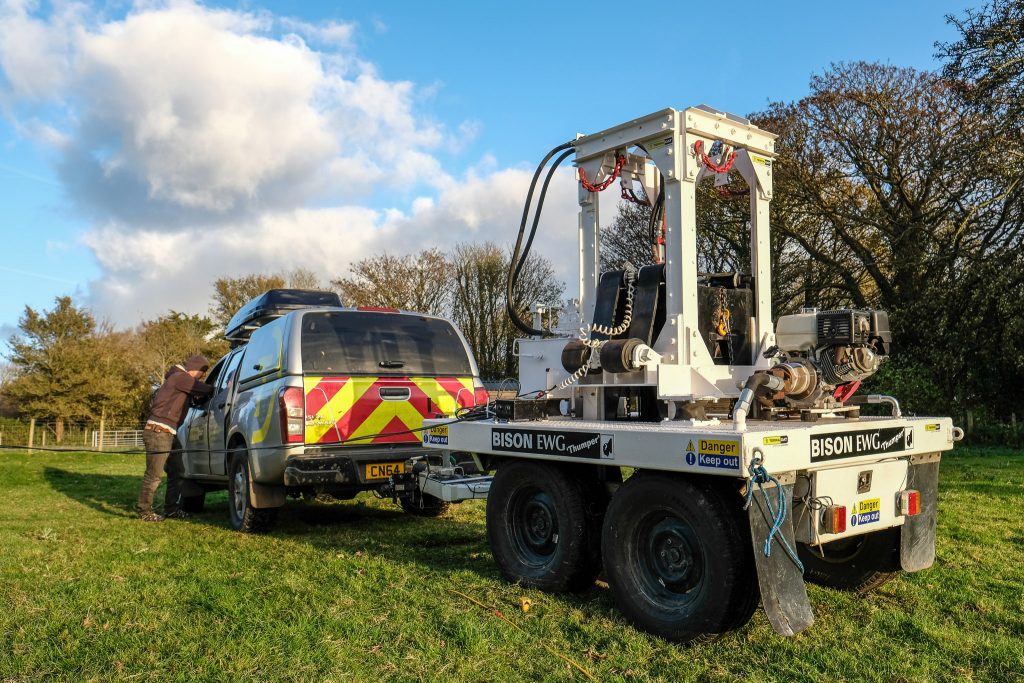
Mine working mapping is often carried out using combined electromagnetic, magnetic and microgravity geophysical surveys.
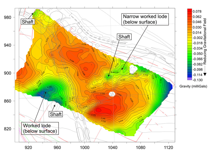
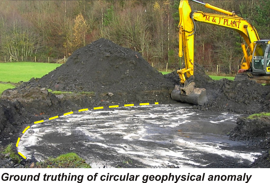
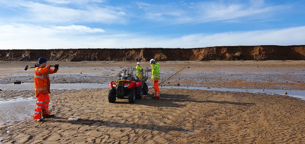
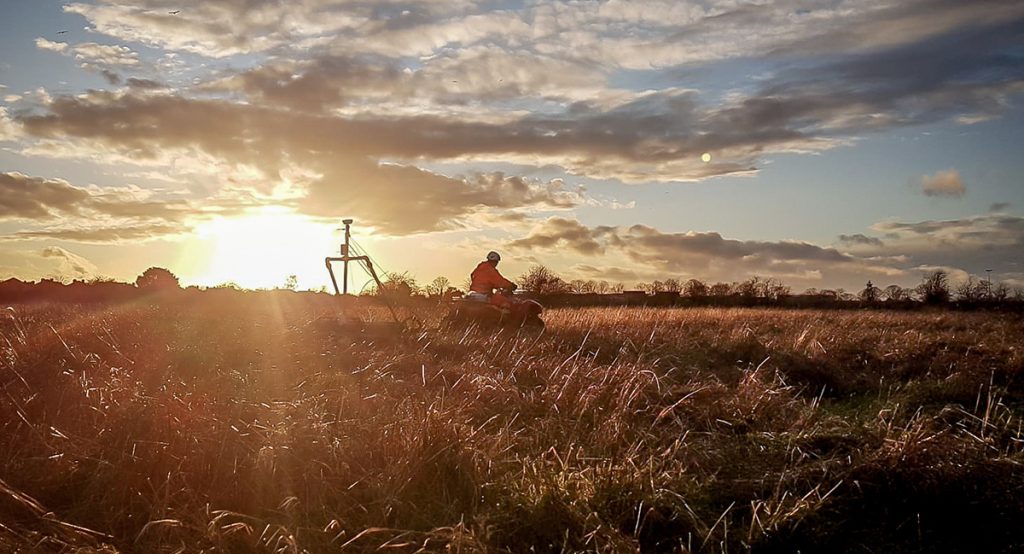
The costs to developers of not mapping mine workings effectively can be significant. A proper desk study of historical use, followed by a geophysical survey, is best practice. Here are some examples of geophysical data on mine workings from some of our past surveys: