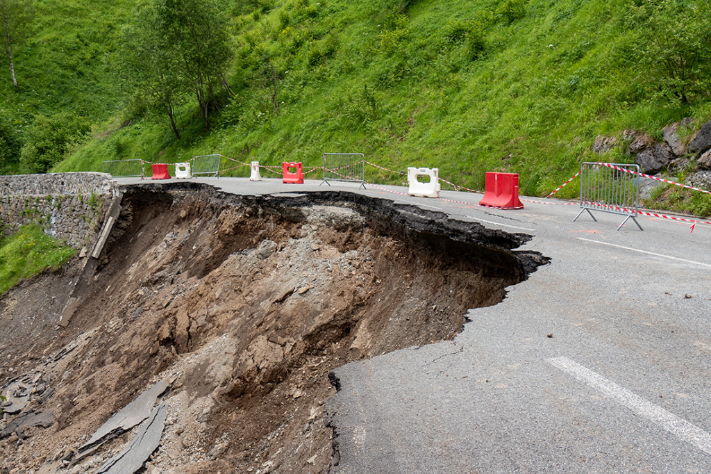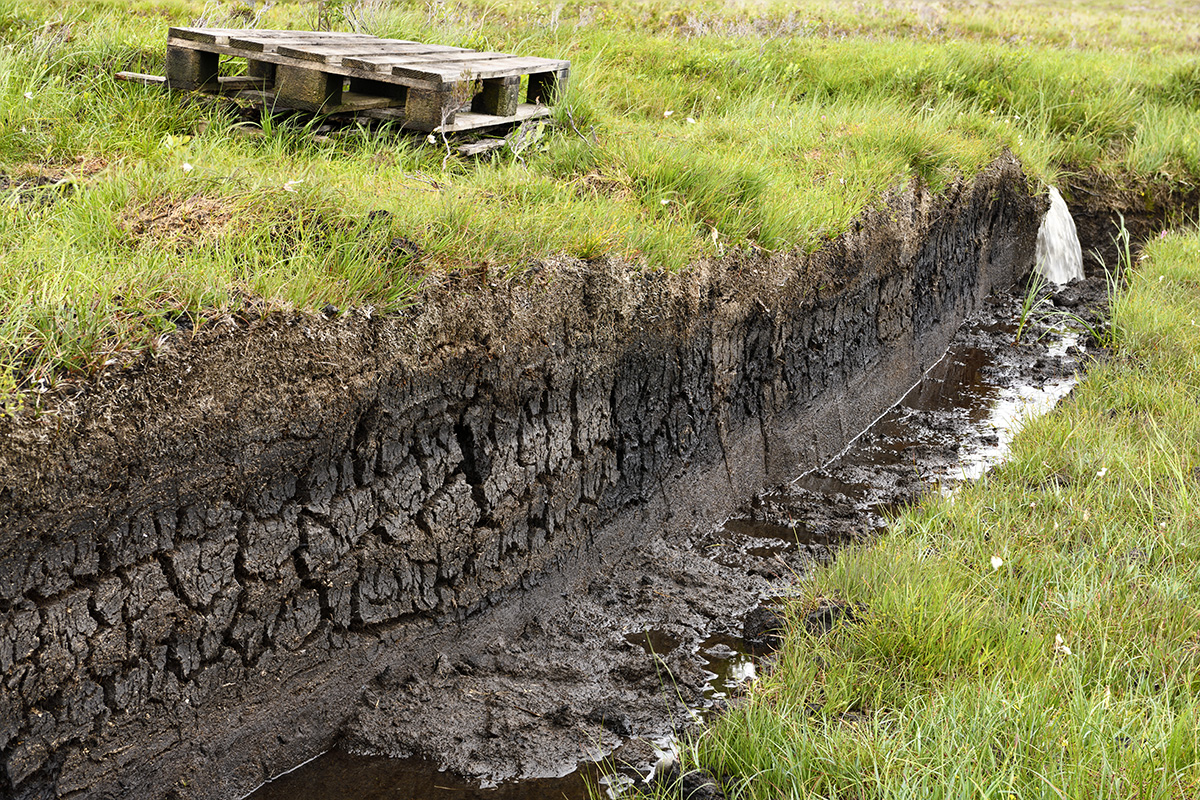
Mapping peat is a common requirement for proposed developments such as wind farms and pipeline routes where they cross remote and/or sensitive areas.
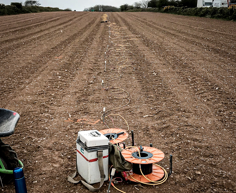
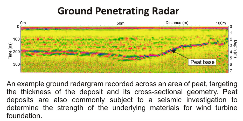
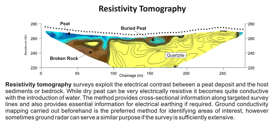
There are several geophysical methods that can provide plan and cross-sectional information to map the distribution of the peat and determine its thickness. In places where the peat extends from surface to depth, then ground radar can provide high-resolution images of the deposit beneath discrete profiles. The method is often best applied with a resistivity survey, exploiting the electrical contrast between the peat and the host sediments/rock. If a very large area requires investigating, then a ground conductivity survey may prove essential to map lateral variations in soil properties and provide target areas for further investigation.
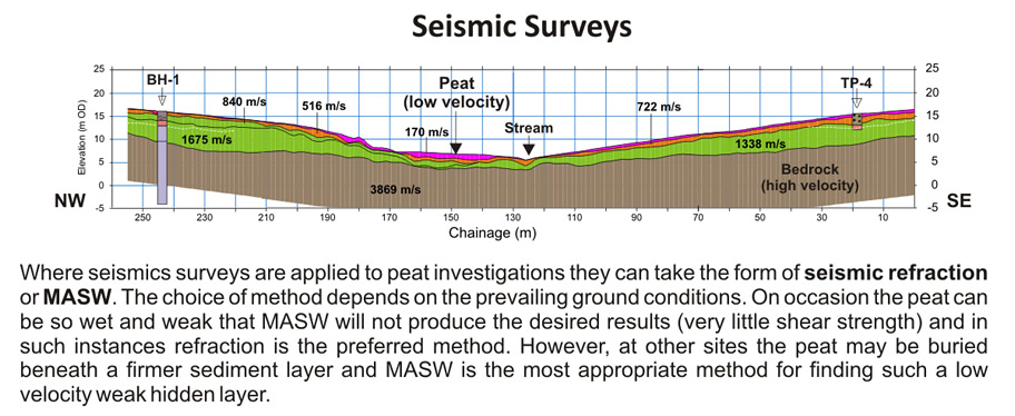
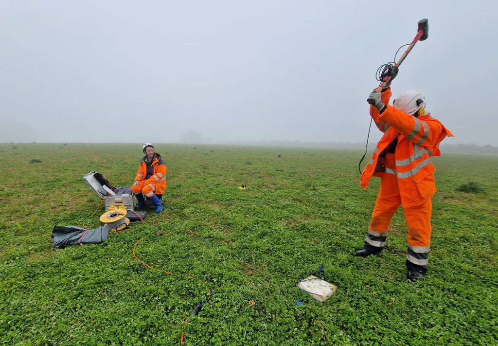
Seismic surveys are recommended for determining the physical properties of the peat and the underlying material. Dynamic elastic moduli, including stiffness, Poisson’s ratio, and bulk modulus, as well as the rippability and diggability of the host geology, can be derived.
- Reconnaissance Peat Surveys
- Soil and Rock Strength Properties
- Electrical Earthing & Corrosion
- Cross-sectional Imaging of Peat