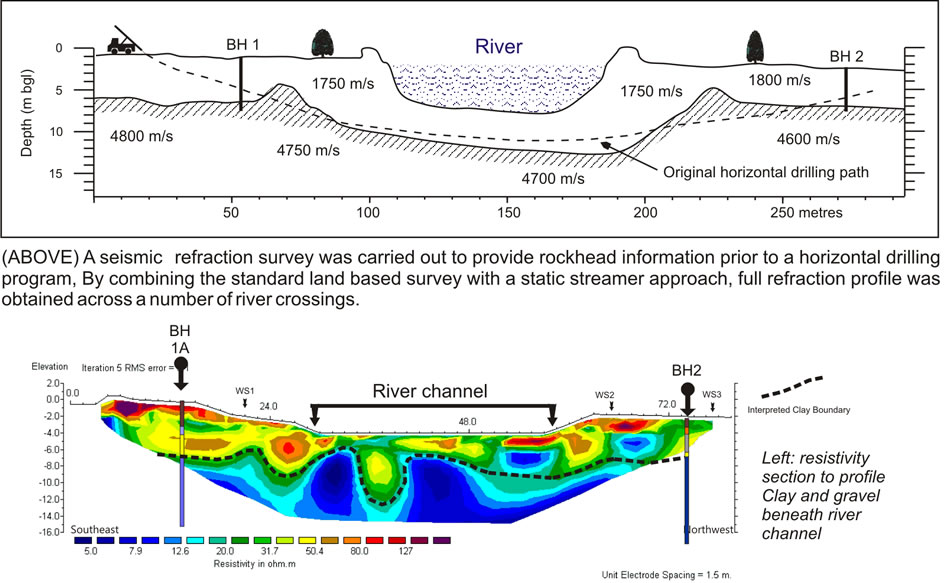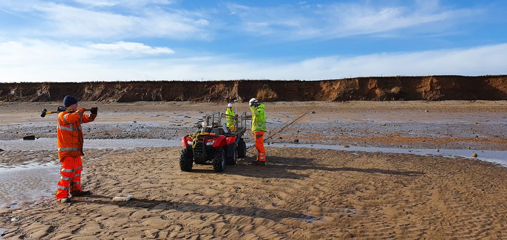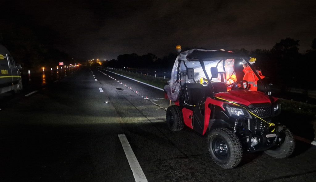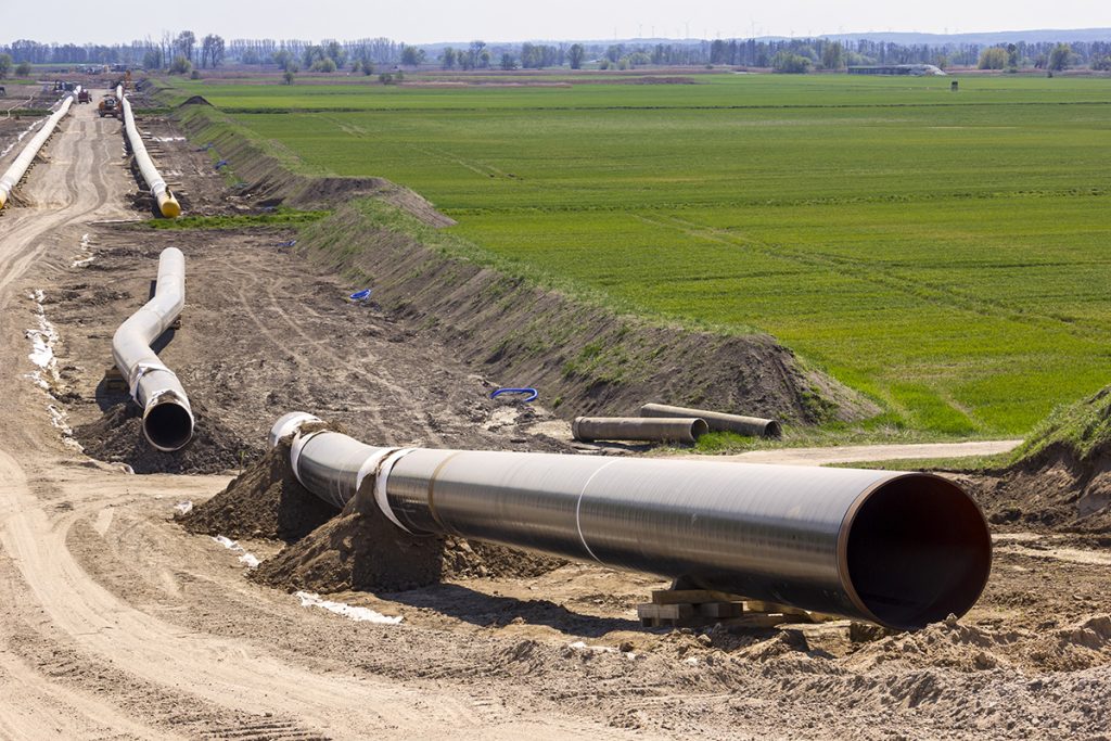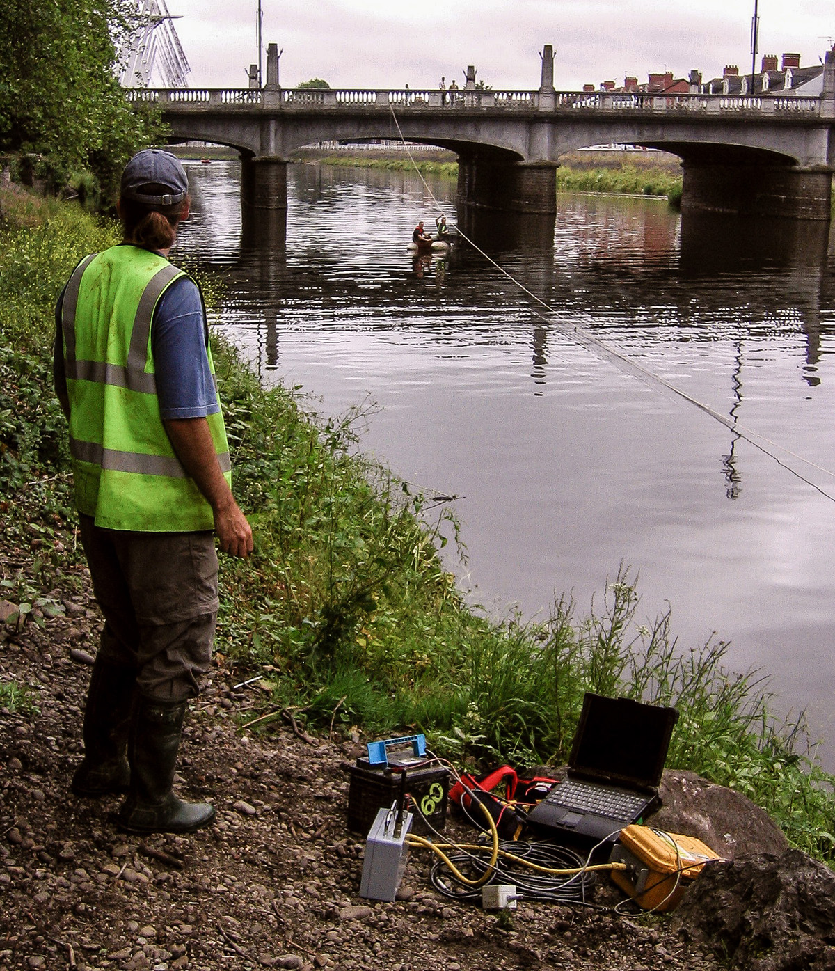
Many of our clients constructing roads, laying pipelines or investigating historic bridges find profiling the geology beneath rivers tricky using conventional ground investigation methods. Since the path rivers take is often dictated by changes in geology, the problem can be even more complex than on solid ground.
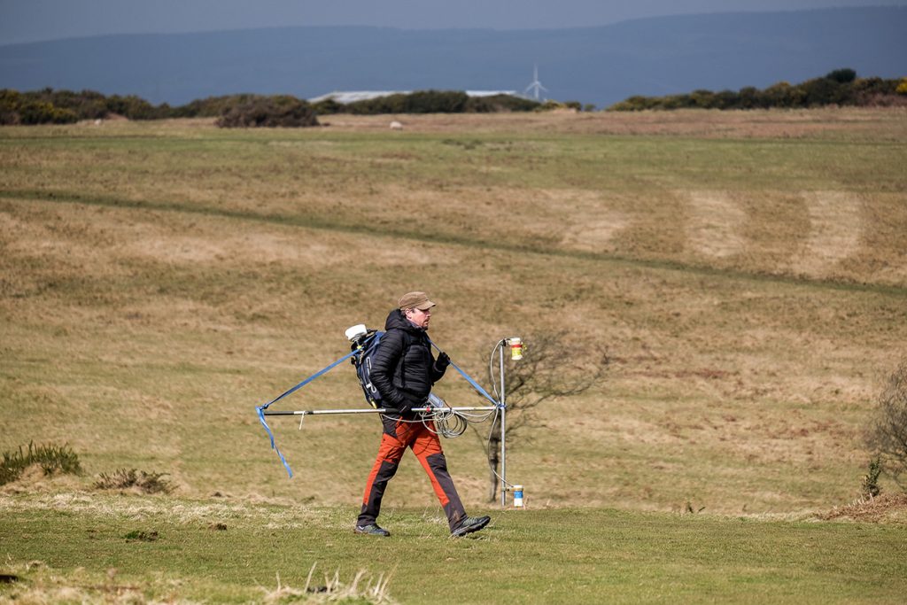
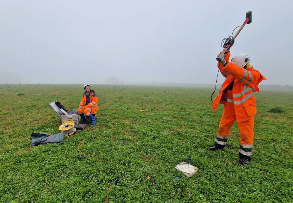
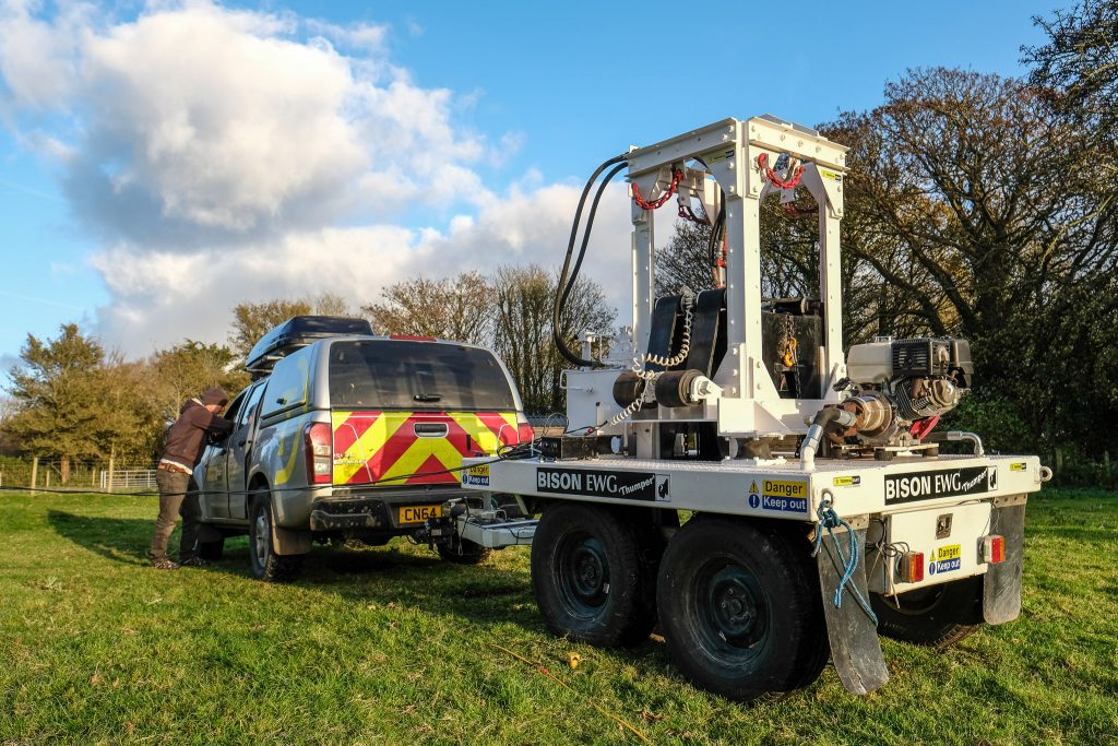
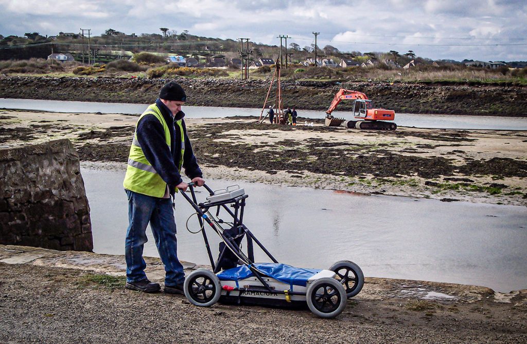
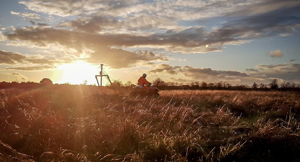
TerraDat has innovated established geophysical survey techniques (resistivity tomography & seismic refraction) specifically for river and stream crossing investigations.
Specific applications where these surveys are routinely applied include:
- Profiling bedrock for geotechnical studies
- Identifying hazards for horizontal drilling
- Examining the foundations of old bridges
The geophysical contrast between targets such as localised rises in bedrock, lenses of coarse cobbles/gravel or infilled alluvial channels can be mapped rapidly with no surface disturbance.
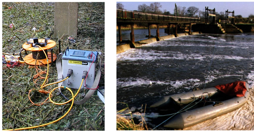
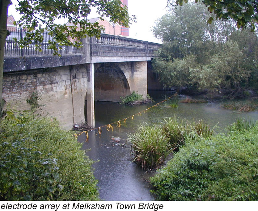
A river crossing can take between half a day and two days to carry out, depending on logistics. The results are presented as scale geological sections. They can overcome limitations often encountered in conventional ground investigations, such as interpolation between boreholes on the river banks and false impressions of bedrock when large boulders are encountered.