Archaeology beneath solar farms
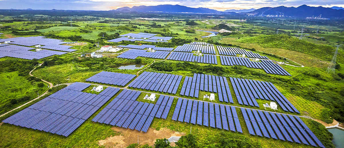
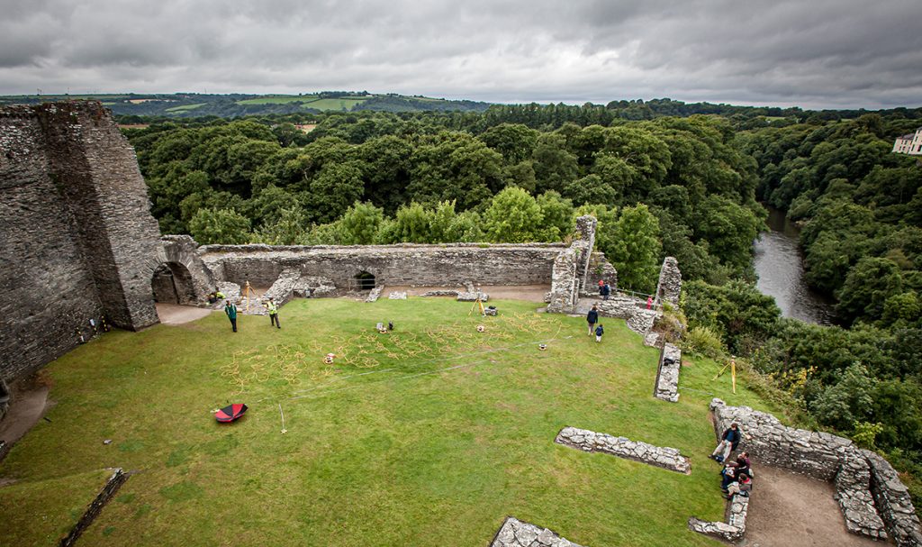
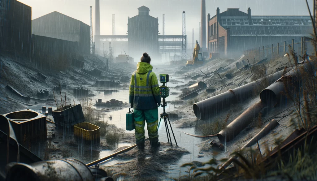
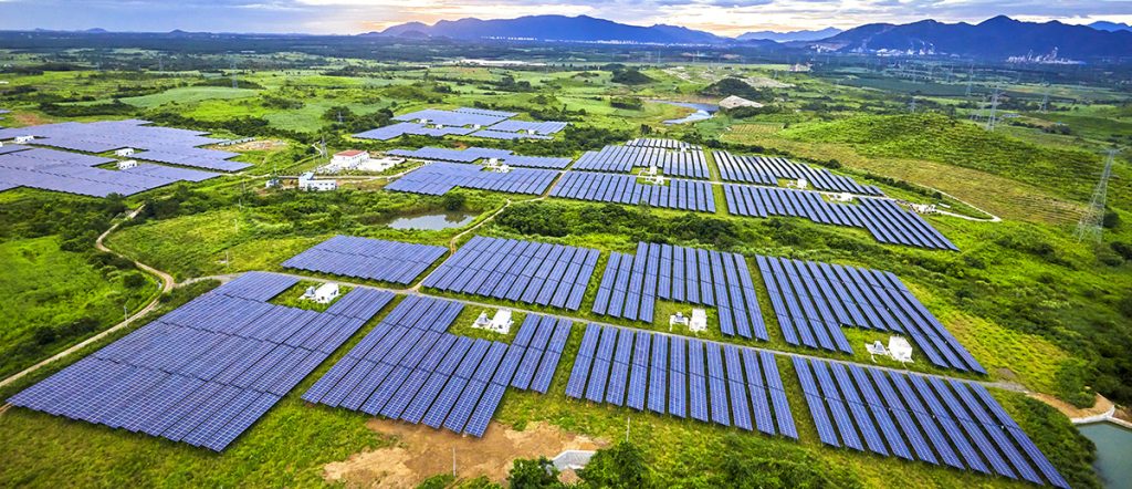
TerraDat provides geophysical services to the renewable energy industry, including wind and solar farms. We employ techniques for investigating the ground beneath these developments to assist with site choice and planning applications. Applications for our services include mapping archaeology beneath greenfield sites and locating buried foundations, site hazards, and contamination.
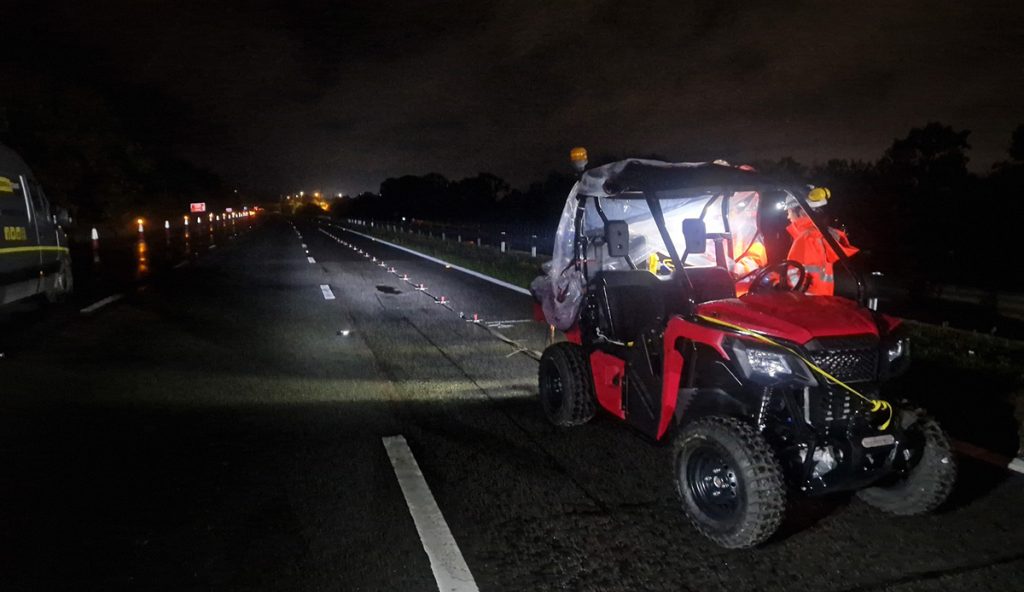
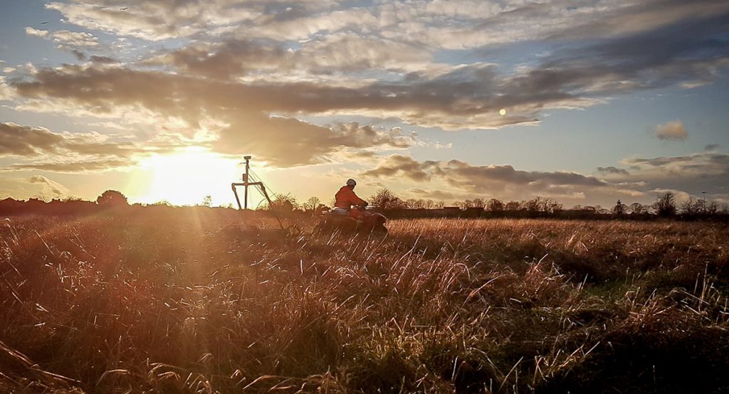
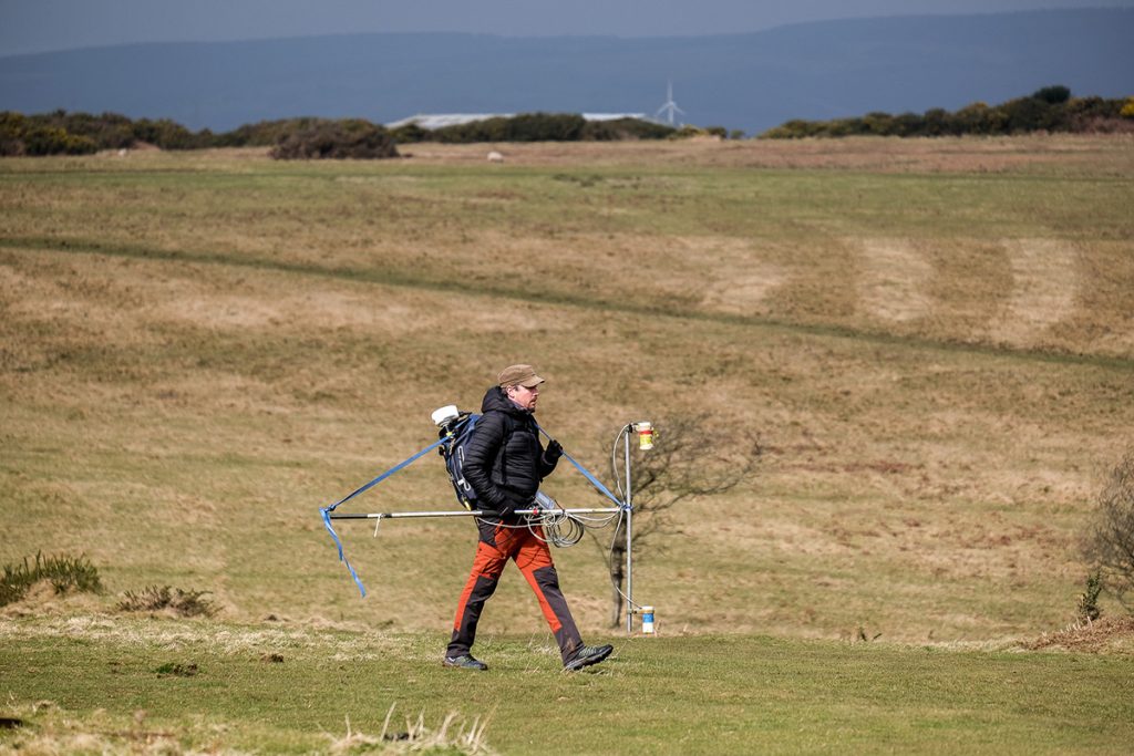
TerraDat has many years of experience in rapid archaeological surveys for solar farm developments using state-of-the-art magnetic gradiometry mapping. Our systems can survey many hectares per day, reducing cost and time compared to traditional methods, thanks to a towed multi-sensor rig. The interpreted survey results and an interpretative report are delivered in popular CAD/GIS formats.
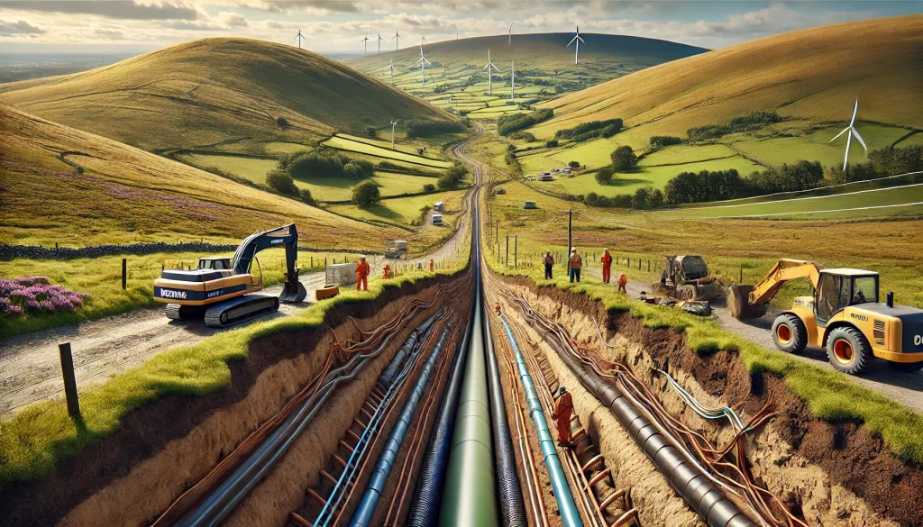
To assist in planning applications and to optimise PV layout on solar farms, a combination of magnetic, ground conductivity, and microgravity surveys can be used.
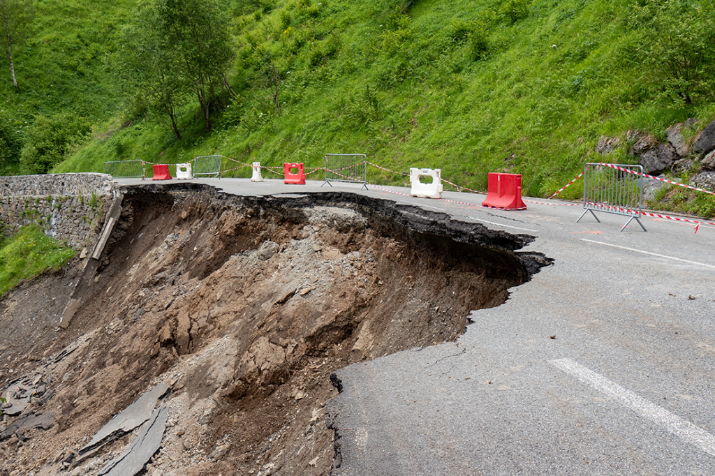
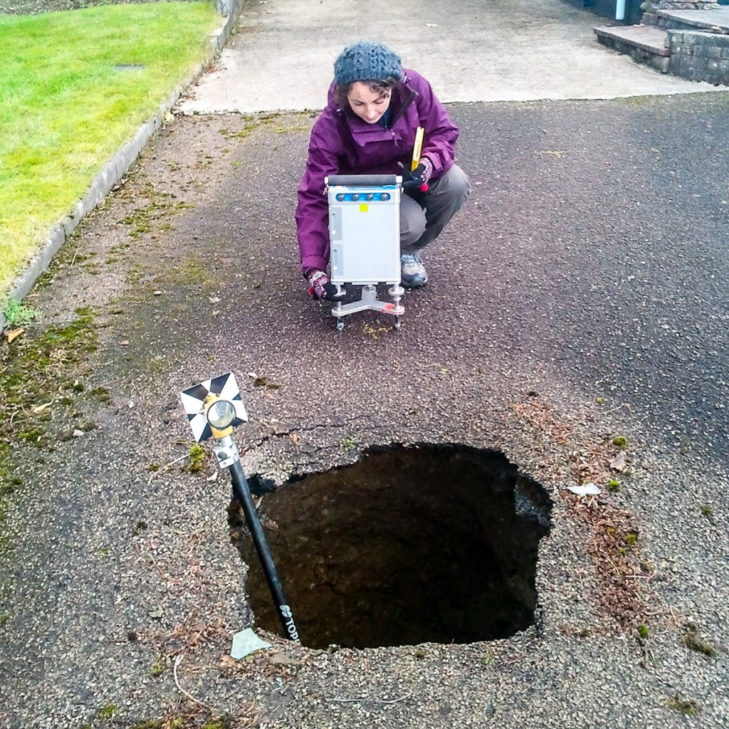
These target subsurface archaeology, manmade hazards, buried services, unexploded ordnance, abandoned mine workings, and solution features.
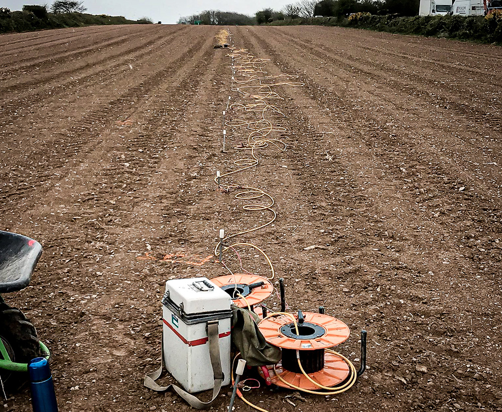
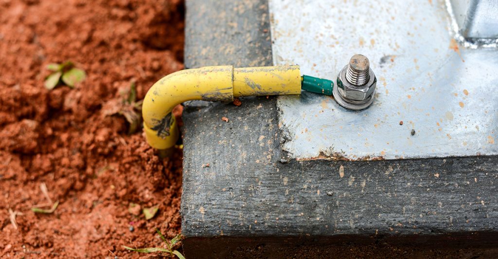
Electrical Resistivity surveys also provide information on the shallow geological structure and measure soil electrical properties for earthing design.
The soil’s thermal properties can be analysed using a thermal resistivity meter to acquire data at the surface or within trial pits.
For sites where geotechnical considerations relate to, for example, foundation design for wind turbines, information about the overburden and bedrock may be required.
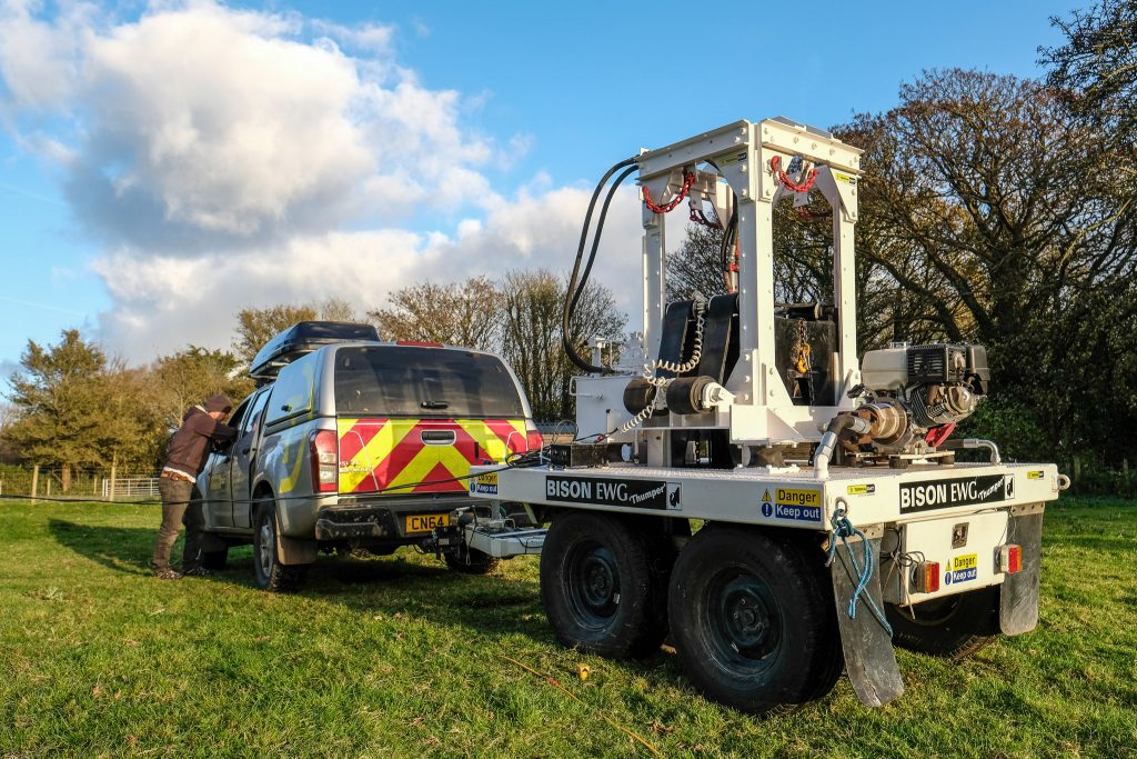
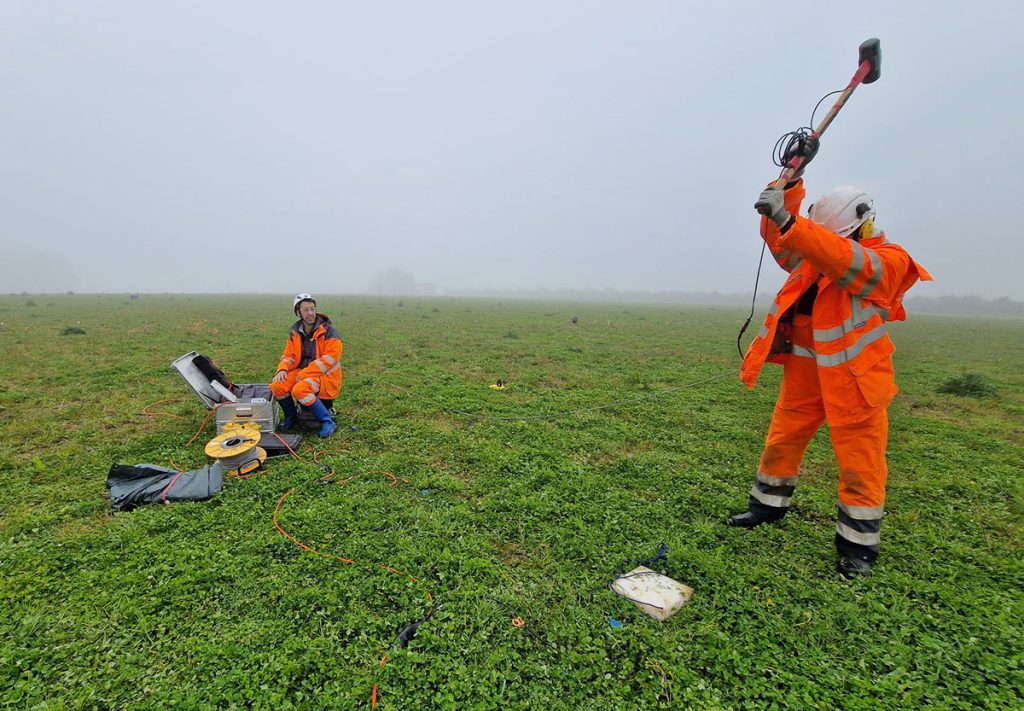
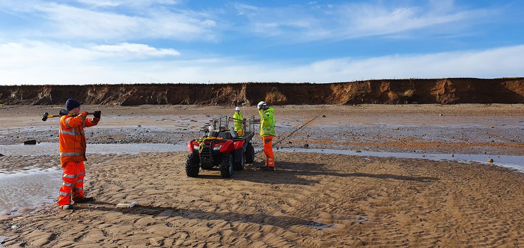
In these cases, seismic refraction and MASW surveys are used to profile the depth and strength of shallow ground materials. The resulting seismic velocities can be used to calculate various engineering properties, including rock rippability, shear and bulk moduli.
Contact us today to discuss how we can cost-effectively help you understand the conditions beneath your planned or proposed solar energy site.
