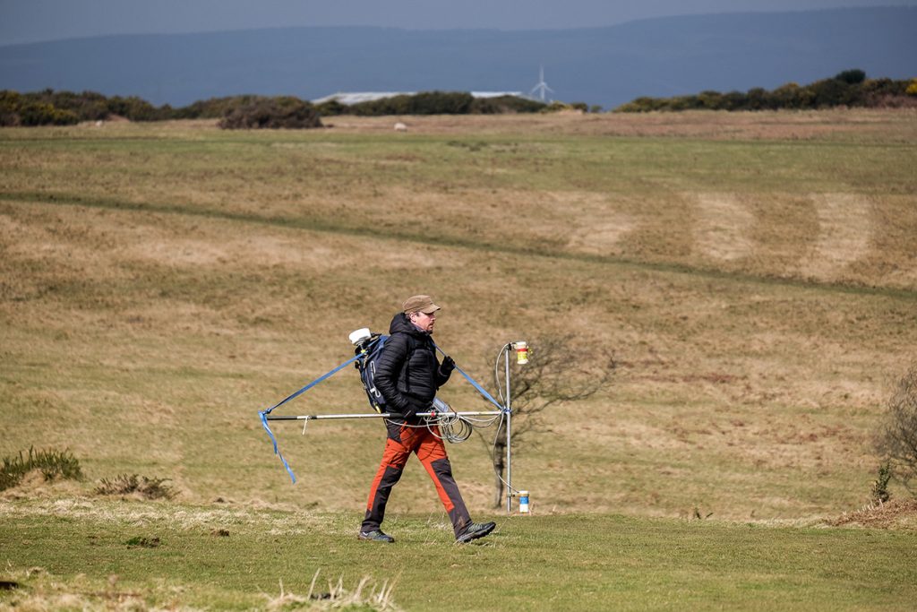
We’re pleased to announce a partnership with Cowbridge School for an innovative educational project called GeoVoyager. The collaboration is made possible thanks to a STEM Partnership Grant from The Royal Society, the oldest scientific institution in continuous existence since 1660.
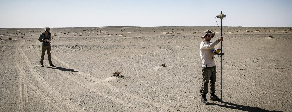
GeoVoyager represents a collaborative effort to create an online 3D geological database harnessing our expertise in photogrammetry and laser scanning technologies. Our goal is to provide the A-level Geology students of Cowbridge School with a dynamic and interactive educational experience. This will be achieved through detailed digital exhibits that vividly illustrate geological structures, fossils, and even evidence of a possible tsunami along the Bristol Channel. Our focus on data capture, 3D modelling, and online sharing is designed to cultivate a comprehensive understanding of the advanced imaging techniques at the forefront of geosciences today.
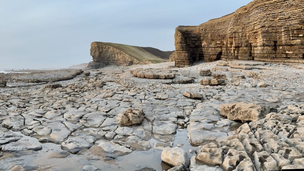
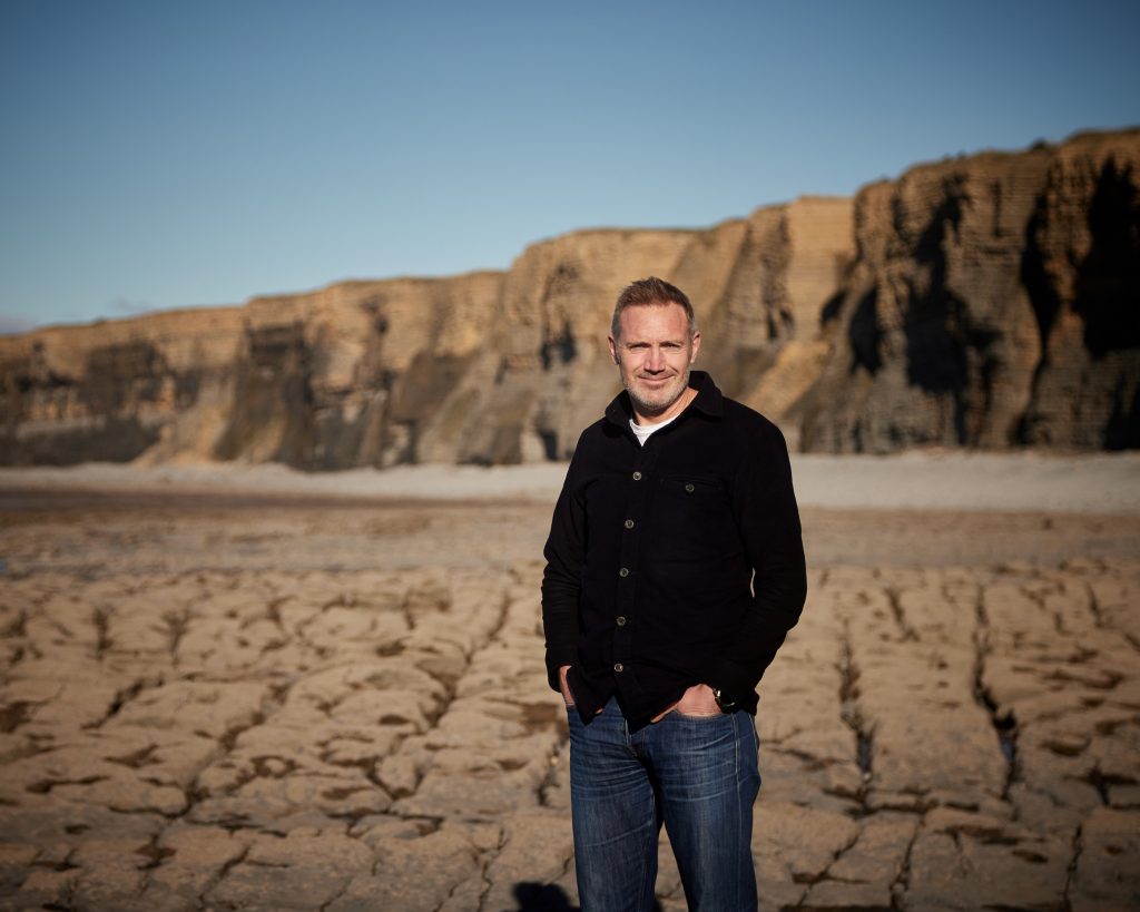
The fieldwork will take place at Dunraven Bay in Southerndown on the South Wales Heritage Coast; GeoVoyager seeks to revolutionise how students engage with geology. We are committed to making this discipline more accessible, enabling virtual geological field trips that cater to students of all abilities, including those with physical disabilities.
Mike Walsh, a Geology teacher at Cowbridge School, encapsulates our mission by saying: “The project bridges the gap between education and innovation. It’s about equipping students with real-world science skills and ensuring everyone can learn geology in the most engaging way possible.”
Guided by a dedicated group of Year 12 students, the GeoVoyager project is not just an academic exercise; it’s a pathway to higher education and a career in geology. We’re integrating fieldwork with their current curriculum, challenging them academically while providing practical, real-world science experience.
Our co-founder, Nick Russill, a former Royal Society Entrepreneur in Residence at Exeter University, shares his enthusiasm: “I’m delighted to continue collaborating with the Royal Society. My A-level geology studies ignited my passion for this field. Through the GeoVoyager project, we aim to inspire that same enthusiasm in the next generation of scientists at Cowbridge School.”
GeoVoyager is more than just a project; it’s a commitment to inclusivity and educational equity. We’re breaking down barriers and democratising access to geology, ensuring every student can explore and learn, regardless of any physical challenges.
