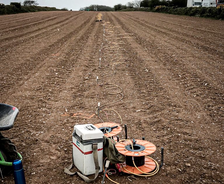
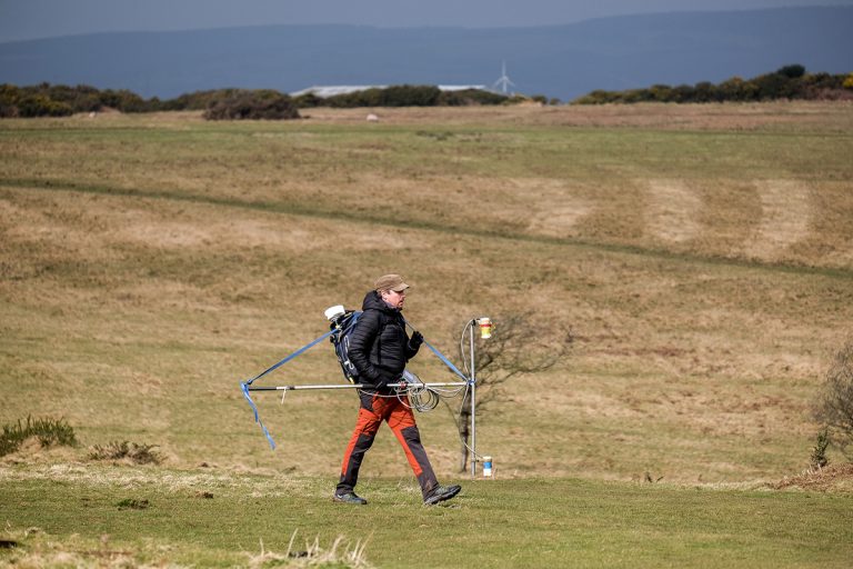
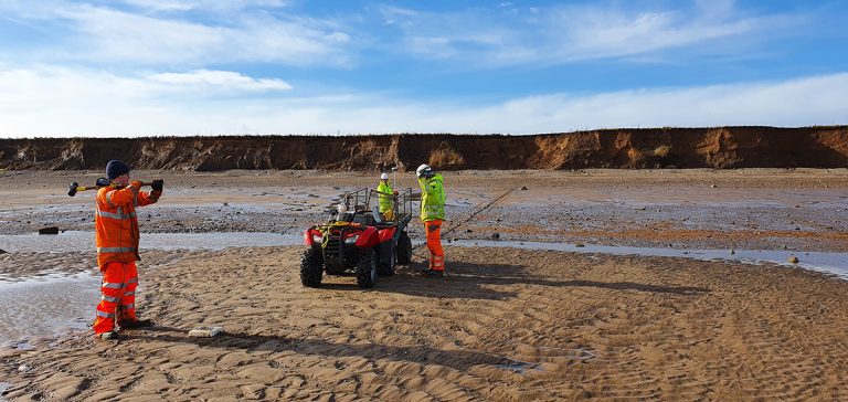
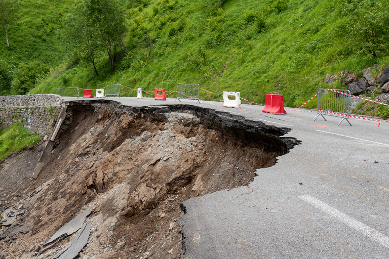
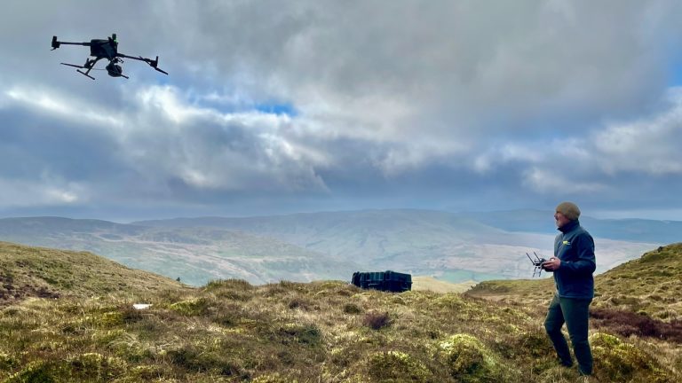
Geophysical Survey Company – TerraDat (UK) Ltd

Investigating Ground Hazards using Engineering & Environmental Geophysics

Engineering geophysics is essential in identifying and mitigating subsurface hazards ensuring the safety and stability of construction and infrastructure projects. At TerraDat, our expertise in geophysics surveys allows us to detect and evaluate geohazards with precision and reliability. Utilising cutting-edge geophysical techniques, we provide comprehensive assessments of ground conditions, identifying potential risks such as sinkholes, voids, and unstable soil. Our geophysical surveys deliver critical data, enabling proactive measures to prevent geohazard-related issues. Choose TerraDat for unparalleled geophysical solutions, safeguarding your projects against the unseen threats beneath the surface.

Survey productivity is maximised by using the latest Sensys magnetometers, particularly the Magneto MX magnetic gradiometry system. This system utilises eight Sensys gradiometer probes mounted on a bespoke carriage system.

Archaeological Geophysics (Archeology)

CHECK OUT OUR NEW DEDICATED ARCHAEOLOGICAL GEOPHYSICS WEBSITE TerraDat’s archaeological geophysics team is uniquely placed to draw on decades of experience in applied geophysics and archaeological surveying. TerraDat’s approach uses our fully-trained geophysicists to deal with the geophysics while our

Read More...
Image showing microgravity techniques used for brownfield surveying on a construction site

Brownfield Site Investigation using Geophysics

Most former industrial sites have a legacy of buried structural hazards and contamination. Geophysical surveys can detect buried targets without the need to excavate. Many industrial contaminants, such as salinisation by acids and hydrocarbon plumes, can leave a significant geophysical

Read More...
TerraDat provides expert geophysical survey services for both active and closed landfill sites.

Characterisation of Landfill Sites using Geophysics

Addressing the growing challenge of environmentally compliant landfill management, TerraDat provides expert geophysical survey services for both active and closed landfill sites. Our advanced, non-invasive techniques deliver high-resolution insights into landfill composition and boundaries, surpassing traditional methods in efficiency and

Read More...
Ground-Penetrating-Radar

Experienced Ground Radar (GPR) Company

TerraDat has been a GPR survey company since the technique evolved to a level where it could be applied to a wide range of applications over 20 years ago. Because the GPR method involves analysis of wave-form data, our experience

Read More...
Microgravity survey

Experts in Microgravity Surveys

A TerraDat microgravity survey is based on measuring localised variations in the Earth’s gravitational field using an extremely sensitive gravity meter. We own and operate the latest Scintrex gravimeters. A microgravity survey targets physical contrasts between materials of contrasting density.

Read More...
Mapping Geology along Pipeline Routes

Geophysics for Mapping Geology along Pipeline Routes

Pipelines and cable routes present a set of unique developmental and geotechnical challenges. TerraDat has designed an integrated survey approach, providing data useful to all stages of the project design. Archaeological assessments and UXO detection: Due to the large distances

Read More...
Magnetics

Magnetics

The magnetic survey technique is based on mapping localised variations in the Earth’s magnetic field caused by sub-surface magnetic materials, which range from naturally occurring magnetic minerals to man-made ferrous objects. This leads to a wide range of applications, from

Read More...
MASW - Surface Wave Surveys

MASW (Surface Wave Surveys)

Multi-channel Analysis of Surface Waves (MASW) is a very useful method for investigating shallow geological structure and, in particular, the relative shear strength of subsurface materials. By incorporating density values for the local bedrock and overburden sediments it is possible

Read More...
Seismic Reflection survey undertaken on a beach

Seismic Reflection

TerraDat has specialist experience in designing and implementing high-resolution seismic reflection surveys for onshore and shallow marine environments. The company routinely carries out seismic survey work for geotechnical and environmental applications as well as larger-scale work for oil/mineral exploration.  

Read More...
example of a team undertaking a seismic refraction survey

Specialist Seismic Refraction Survey Company

TerraDat is a specialist Seismic refraction survey company with many years of experience applying and researching its use in shallow engineering and geotechnical work. Seismic survey methods provide a useful tool for investigating geological structure and rock properties. The technique

Read More...