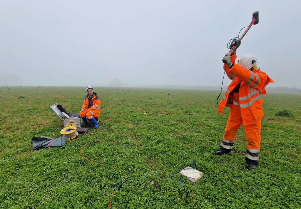
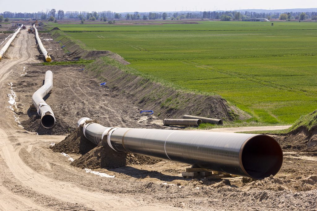
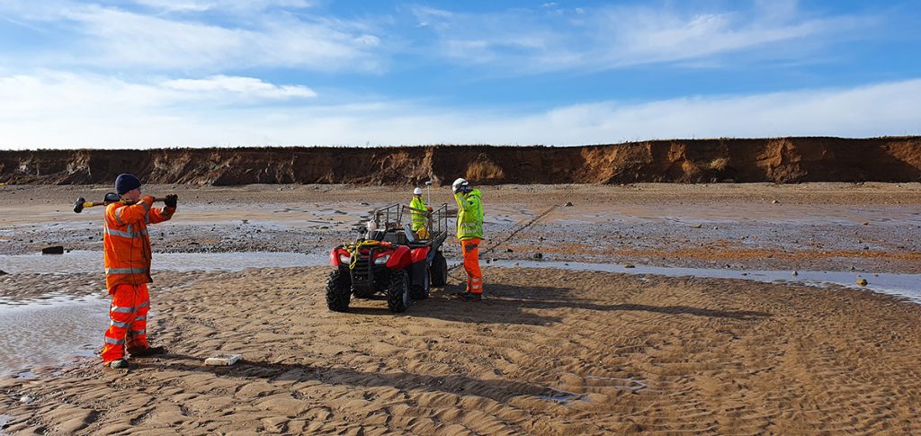
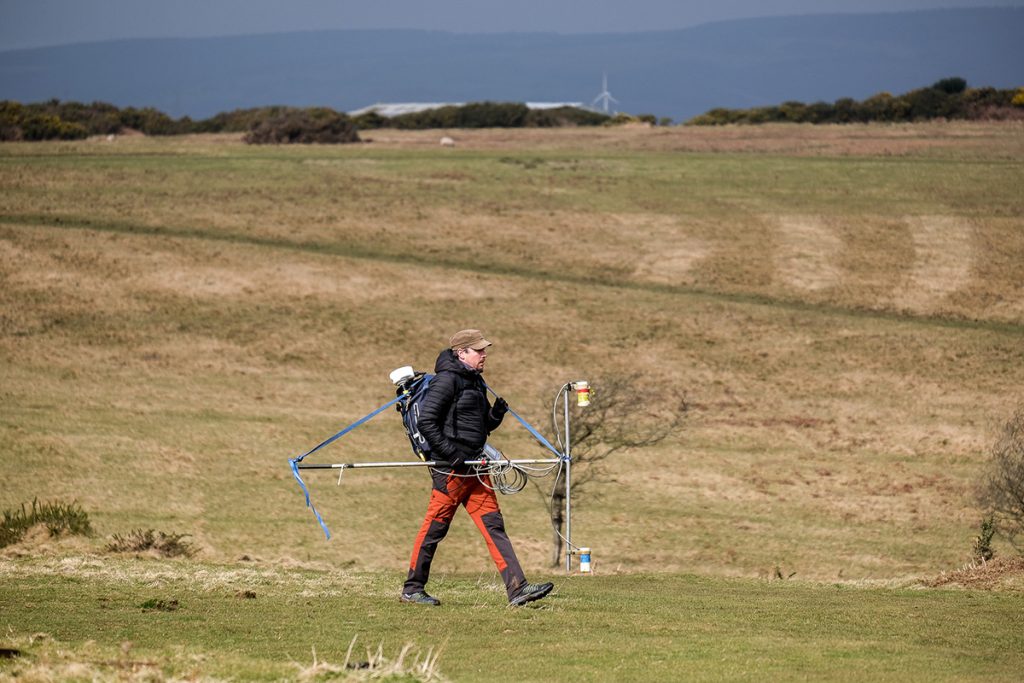
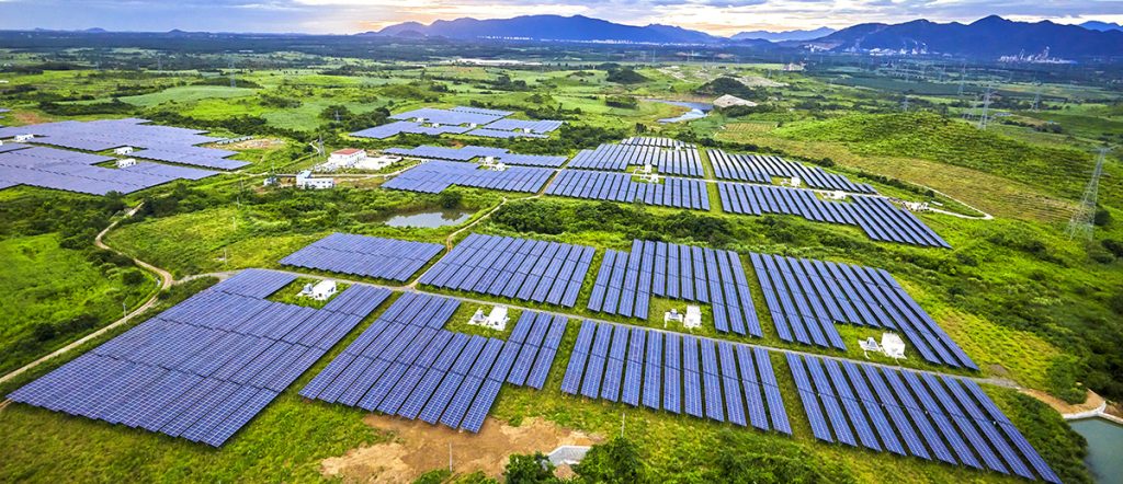
Shallow geophysics plays a crucial role in characterizing the subsurface for transmission cable routes, offering significant advantages to transmission teams working on energy infrastructure projects. By employing non-invasive geophysical techniques, energy providers can optimize cable route planning, reduce environmental impact, and enhance the overall efficiency of their transmission system.
Key Geophysical Techniques for Cable Route Surveys.
Ground Penetrating Radar (GPR)
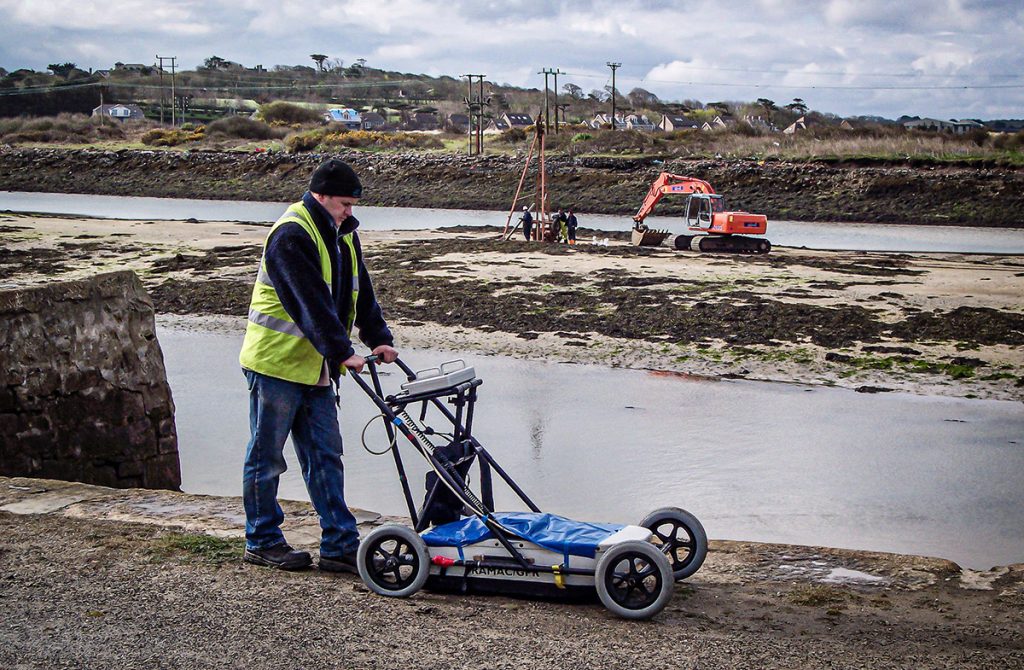
GPR is an essential tool for transmission teams, providing high-resolution images of the shallow subsurface. This technique is particularly effective for:
• Identifying buried utilities and obstacles
• Mapping soil layers and bedrock depth
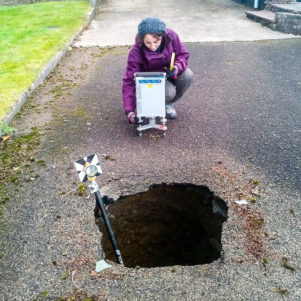
• Detecting voids or cavities that could pose risks to cable installation
Electrical Resistivity Imaging (ERI)
ERI offers valuable insights into subsurface conditions, helping transmission teams to:
• Assess soil moisture content and groundwater levels
• Identify areas of potential corrosion risk for cables
• Map variations in soil and rock properties along the proposed route
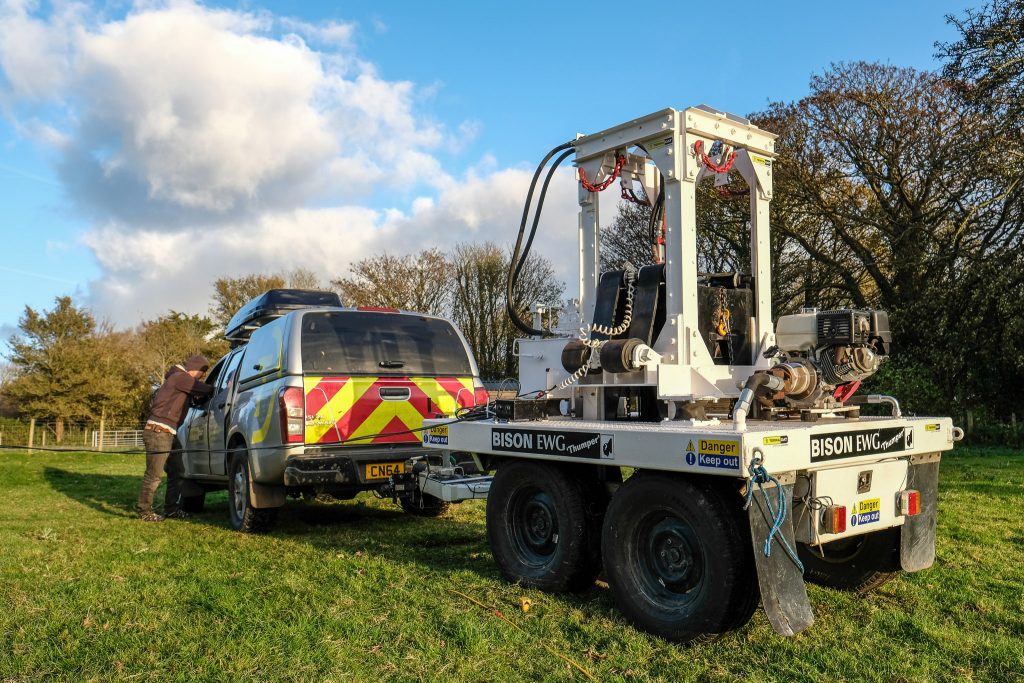
Seismic Refraction and Reflection
These methods provide critical information about subsurface structure and can:
• Determine depth to bedrock and soil thickness
• Assess soil and rock strength properties
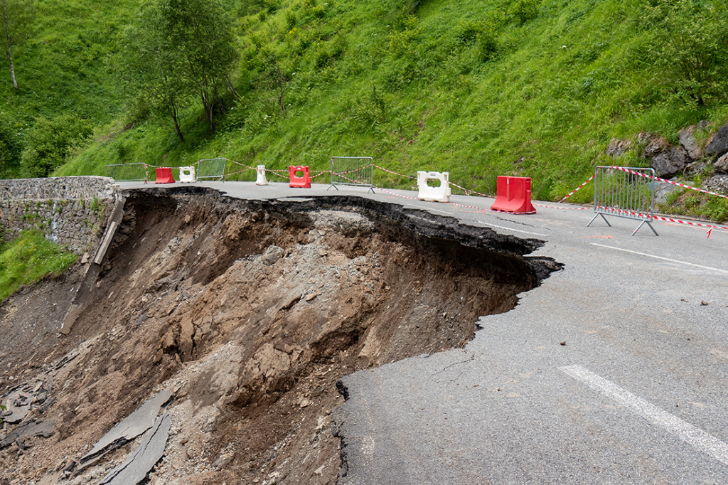
• Identify potential geohazards such as faults or unstable ground
Benefits of Geophysics for Transmission Teams
Improved Route Planning
Shallow geophysical surveys enable transmission teams to:
• Optimize cable routes by avoiding subsurface obstacles and challenging ground conditions
• Reduce the need for costly and time-consuming exploratory excavations
• Minimize environmental disturbance during the planning phase
Enhanced Risk Management
By utilizing geophysical data, teams can:
• Identify potential geohazards early in the project lifecycle
• Assess long-term stability of the proposed cable route
• Mitigate risks associated with soil conditions and groundwater
Cost-Effective Project Execution
Implementing shallow geophysics in transmission projects leads to:
• Reduced unexpected costs during construction
• Optimized excavation and trenching plans
• Improved overall project efficiency and timelines
Environmental Considerations
Shallow geophysical methods contribute to more sustainable infrastructure development by:
• Minimizing the need for invasive site investigations
• Helping to avoid sensitive ecological areas during route planning
• Reducing the overall environmental footprint of transmission projects
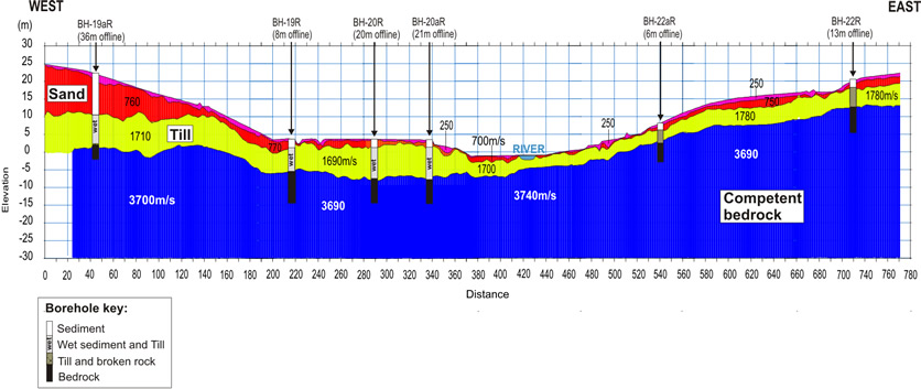
For transmission teams working on energy infrastructure projects, TerraDat shallow geophysics offers a powerful set of tools for subsurface characterisation. By incorporating these non-invasive techniques into their workflow, teams can significantly improve the planning, design, and execution of transmission cable routes. The result is a more resilient, cost-effective, and environmentally responsible energy infrastructure that meets the demands of modern power transmission systems.

