
We’re pleased to announce a partnership with Cowbridge School for an innovative educational project called GeoVoyager. The collaboration is made possible thanks to a STEM Partnership Grant from The Royal Society, the oldest scientific institution in continuous existence since 1660. … Read More
Author Archives: DaveTaylor
An interview with TerraDat co-founder Nick Russill
In this interview with Alan Wick, originally broadcast on his radio show, you will hear from TerraDat co-founder Nick Russill about: How to continue to grow your business by innovating and staying agile Why it’s important to sometimes say ‘No’ … Read More
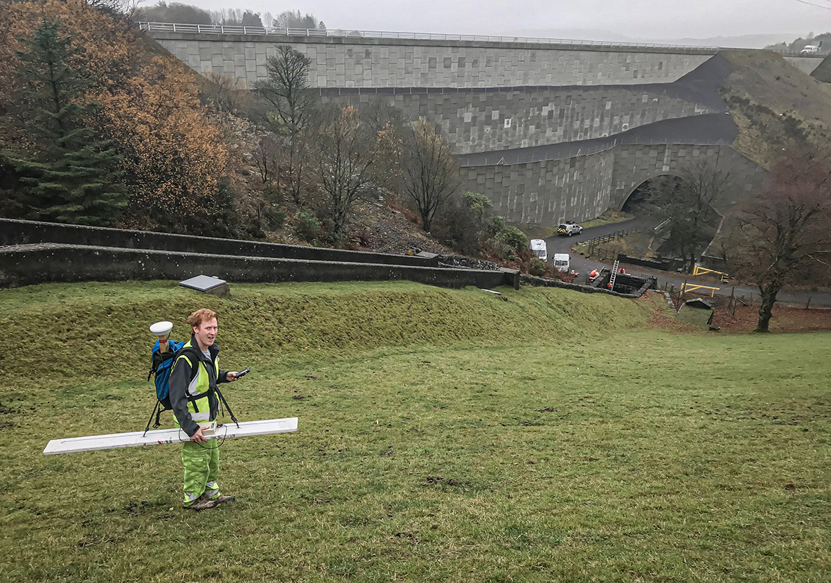
How can geophysical techniques be used to investigate and monitor leaking dams?
Dams are vital structures that contribute to vital infrastructure including drinking water, crop irrigation, and hydroelectric power. These structures, often over a century old are also put under huge stress by the large quantities of water they retain as well … Read More
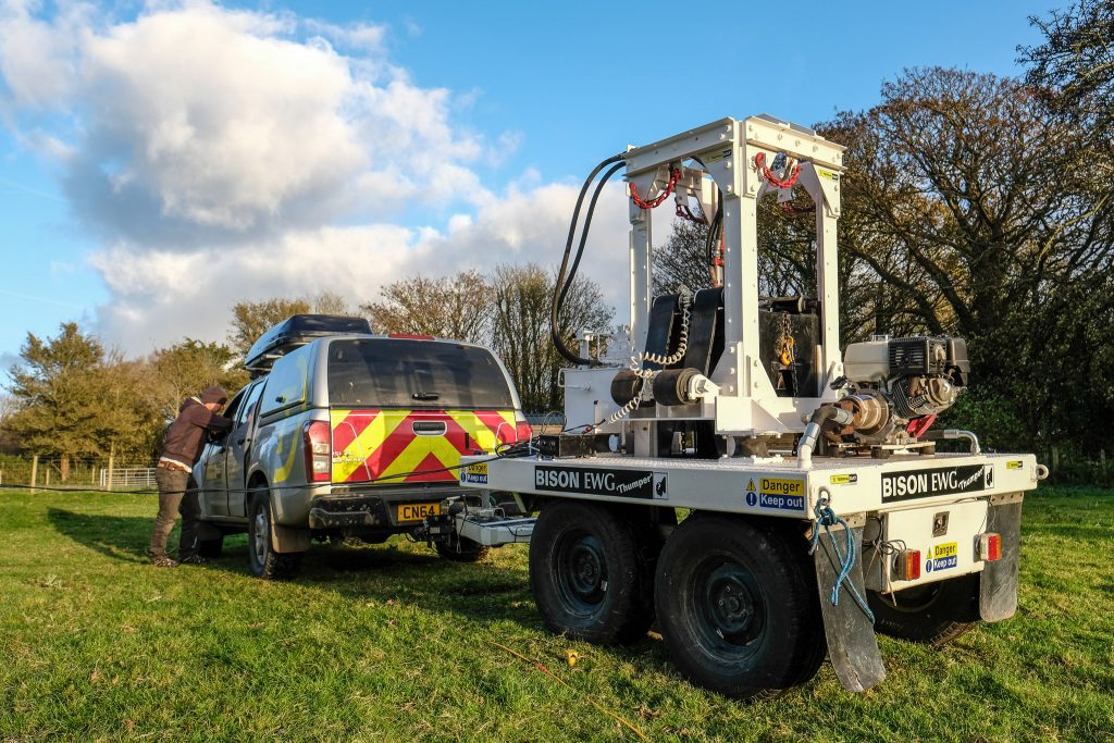
Meet Bison “Thumper” – our seismic weight drop…
TerraDat’s expertise in shallow seismic surveying to profile bedrock and map changes in subsurface engineering properties goes to another level with the recent acquisition of a powerful weight drop source. As far as we know, it’s the only one of … Read More
How TerraDat’s work is helping monitor climate change
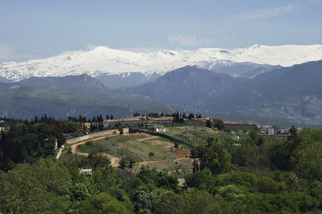
Twenty years ago, geophysics specialists at TerraDat became involved in a major pan-European project to measure the impact of climate change on permafrost in the mountains of Europe. The PACE (Permafrost And Climate in Europe) Project began monitoring a large … Read More
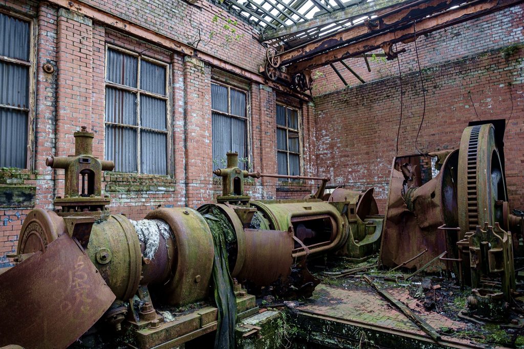
How we brought the evocative story of Swansea’s copper heritage to life using 3D Reality Capture
An evocative video combining the oral history of one of Wales’ most important industrial sites with a 3D digital model created from laser scan surveys are preserving its heritage for future generations as well as connecting local communities with their … Read More
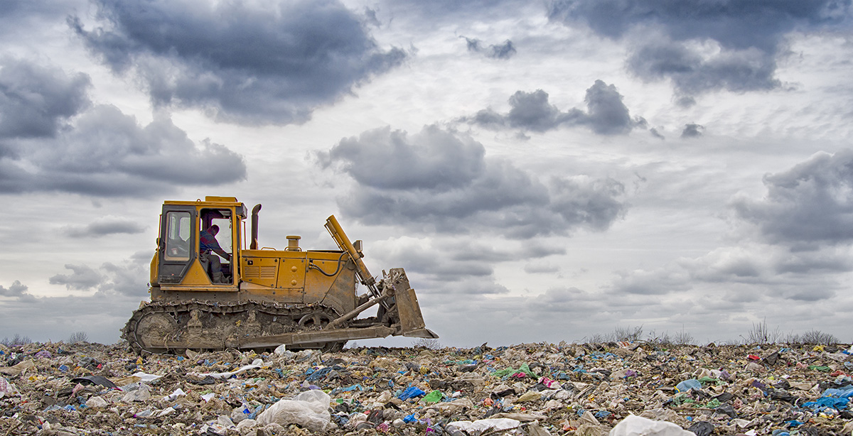
Characterisation of Landfill Sites using Geophysics
Addressing the growing challenge of environmentally compliant landfill management, TerraDat provides expert geophysical survey services for both active and closed landfill sites. Our advanced, non-invasive techniques deliver high-resolution insights into landfill composition and boundaries, surpassing traditional methods in efficiency and … Read More
Archaeological Geophysics (Archeology)
CHECK OUT OUR NEW DEDICATED ARCHAEOLOGICAL GEOPHYSICS WEBSITE TerraDat’s archaeological geophysics team is uniquely placed to draw on decades of experience in applied geophysics and archaeological surveying. TerraDat’s approach uses our fully-trained geophysicists to deal with the geophysics while our … Read More
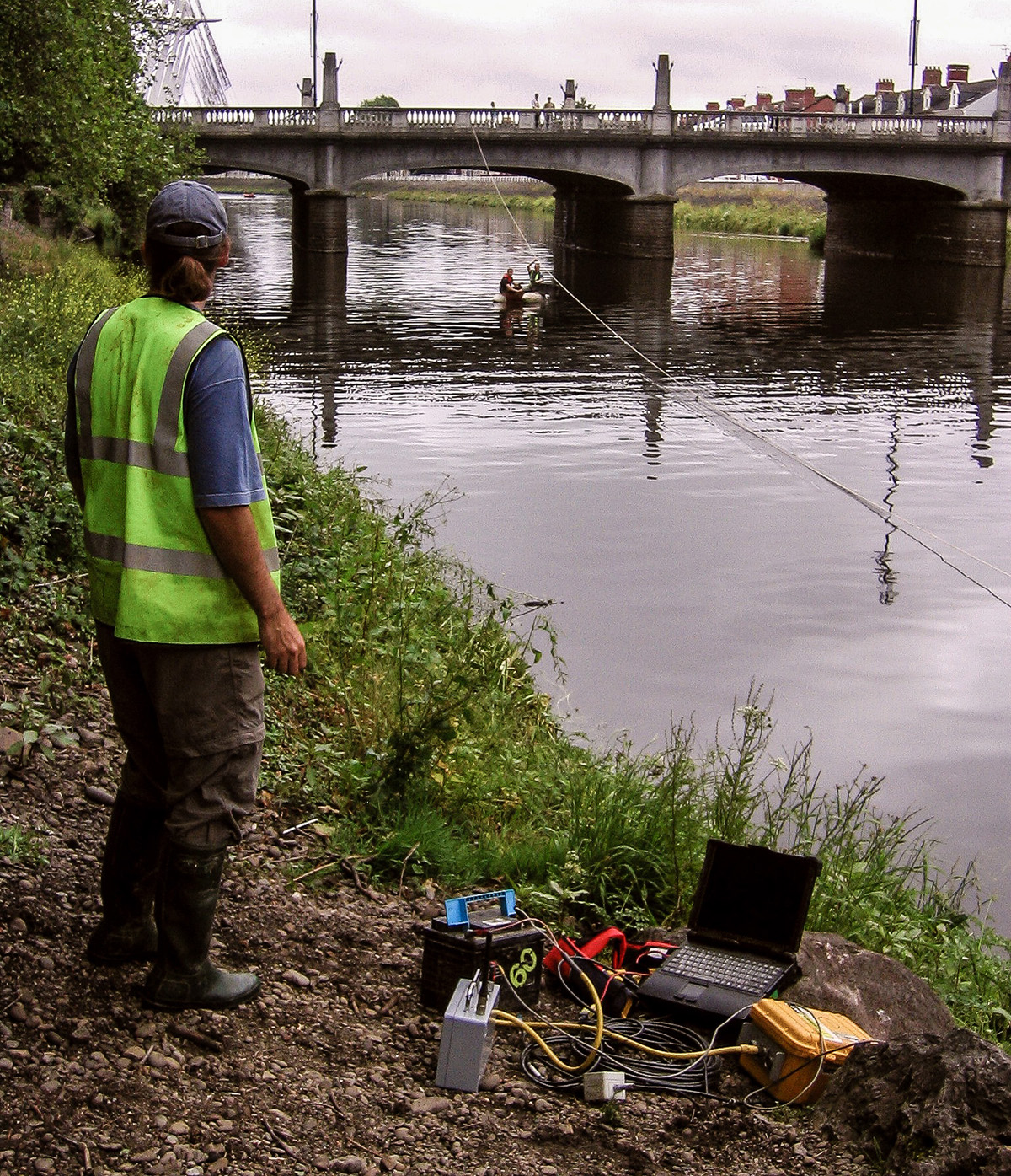
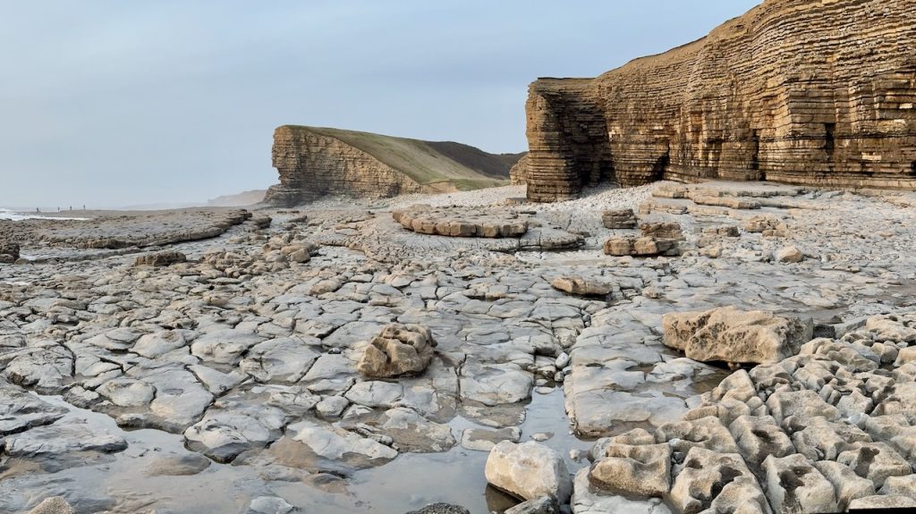
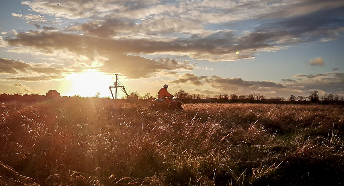
River Crossings: Profiling Geology using Geophysics
Many of our clients constructing roads, laying pipelines or investigating historic bridges find profiling the geology beneath rivers tricky using conventional ground investigation methods. Since the path rivers take is often dictated by changes in geology, the problem can be … Read More
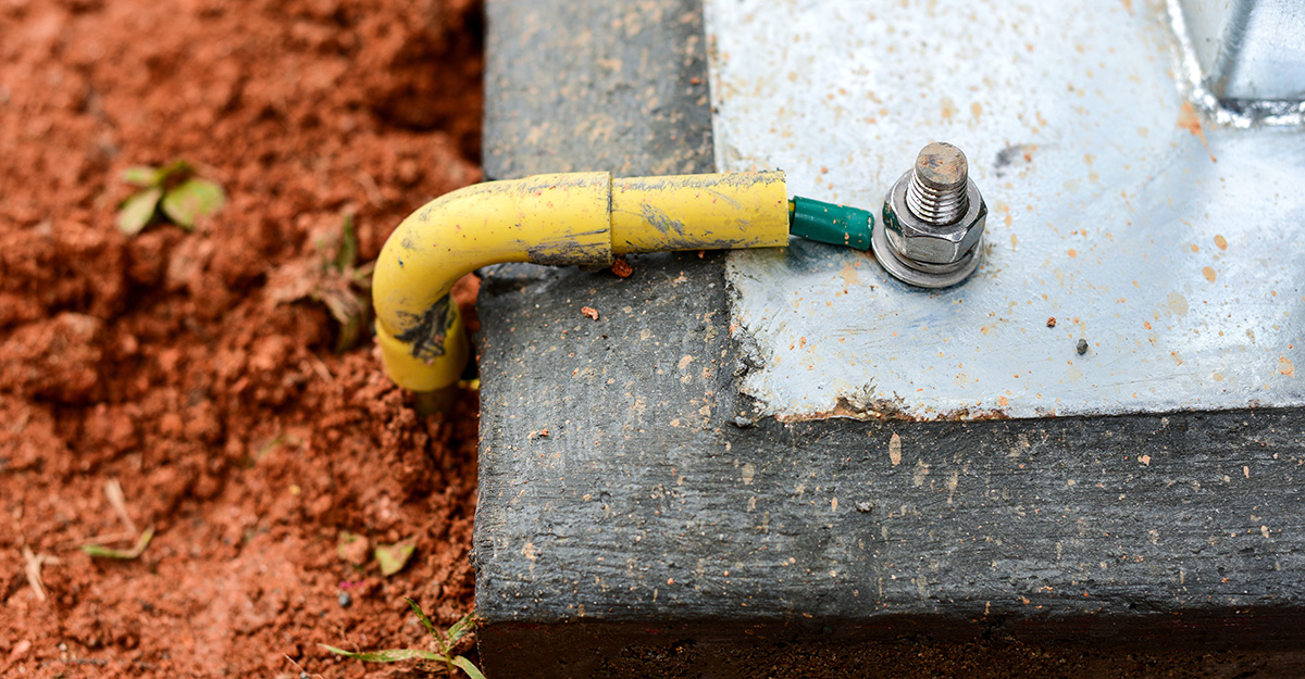
Electrical Earthing: Advanced Soil Resistivity Measurements for Electrical Earthing Design
As part of our services for energy and infrastructure, TerraDat regularly carries out soil resistivity measurements for earthing installation design and corrosion engineering. These resistivity measurements are made by passing a DC electrical current through the ground using a pair … Read More