
The problem of mapping shallow abandoned mine workings is significant in the re-development of brownfield sites or land reclamation in former mining areas. A TerraDat Geophysics survey can mitigate the risks of mapping mine workings using conventional ground investigation methods. … Read More
Author Archives: DaveTaylor
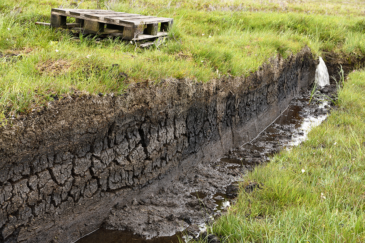
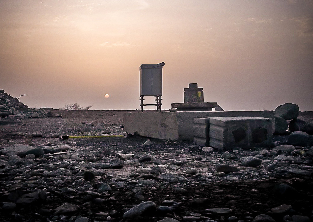
Peat Mapping using Geophysics (Peat Surveys)
Mapping peat is a common requirement for proposed developments such as wind farms and pipeline routes where they cross remote and/or sensitive areas. There are several geophysical methods that can provide plan and cross-sectional information to map the distribution of … Read More
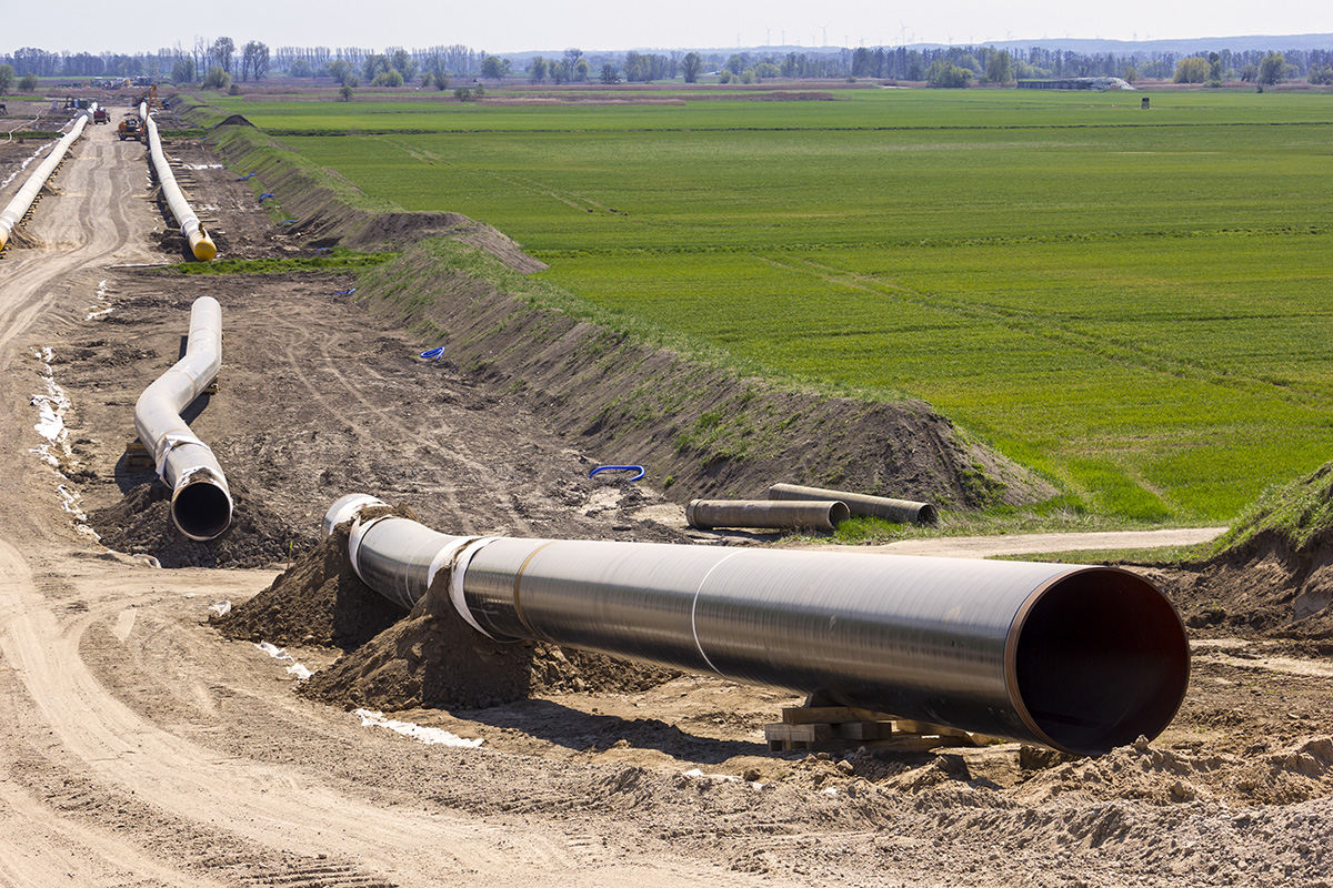
Geophysics for Mapping Geology along Pipeline Routes
Pipelines and cable routes present a set of unique developmental and geotechnical challenges. TerraDat has designed an integrated survey approach, providing data useful to all stages of the project design. Archaeological assessments and UXO detection: Due to the large distances … Read More
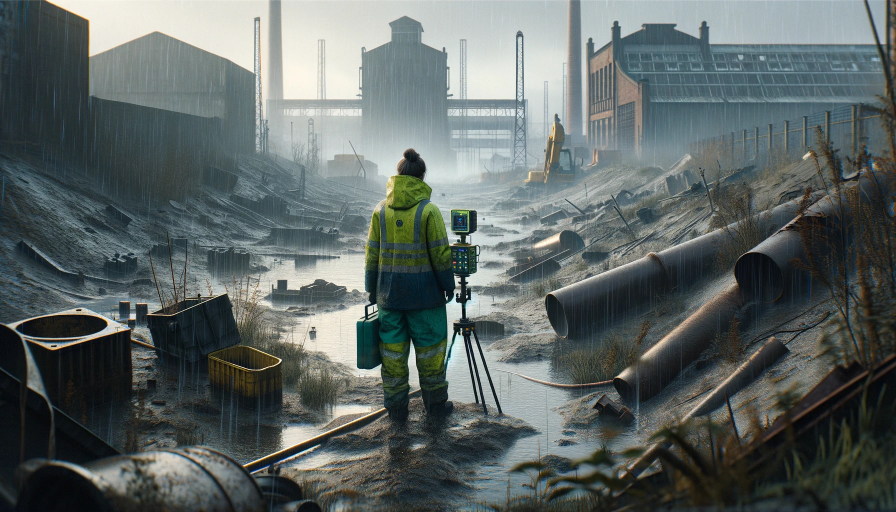
Brownfield Site Investigation using Geophysics
Most former industrial sites have a legacy of buried structural hazards and contamination. Geophysical surveys can detect buried targets without the need to excavate. Many industrial contaminants, such as salinisation by acids and hydrocarbon plumes, can leave a significant geophysical … Read More
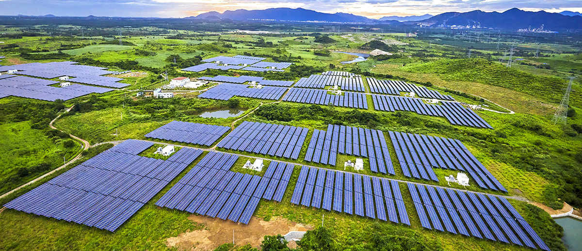
Solar Energy: Investigating the Subsurface Beneath Solar Farms Using Geophysics
Click for more information on investigations for Solar Farms Archaeology beneath solar farms TerraDat provides geophysical services to the renewable energy industry, including wind and solar farms. We employ techniques for investigating the ground beneath these developments to assist with … Read More
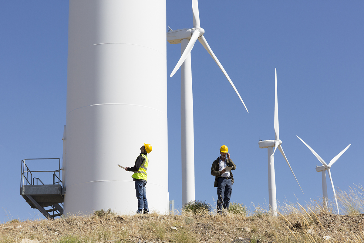
Wind Farms: Investigation the Subsurface for Wind Farm Projects
Over recent years TerraDat have gained a wealth of experience providing geophysical services to the wind energy industry. By working alongside many major wind farm developers TerraDat have developed a suite of geophysical techniques ideally suited to the needs of … Read More
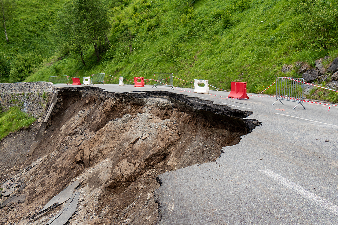
Slope Stability: Understanding Slope Stability using Geophysics
TerraDat has developed a strategy for investigating slope stability that provides key engineering properties for managing and monitoring existing and potential landslides. While each site is considered unique with respect to the survey design, the methods that most often prove … Read More
Karst Geology: Void detection & Karst Mapping using Geophysics
TerraDat is regularly contacted by ground engineers asking about our void detection surveys using geophysics. The benefits of our geophysical surveys in terms of maximum area coverage and minimal ground disturbance provide an ideal solution. The best geophysical methods for … Read More
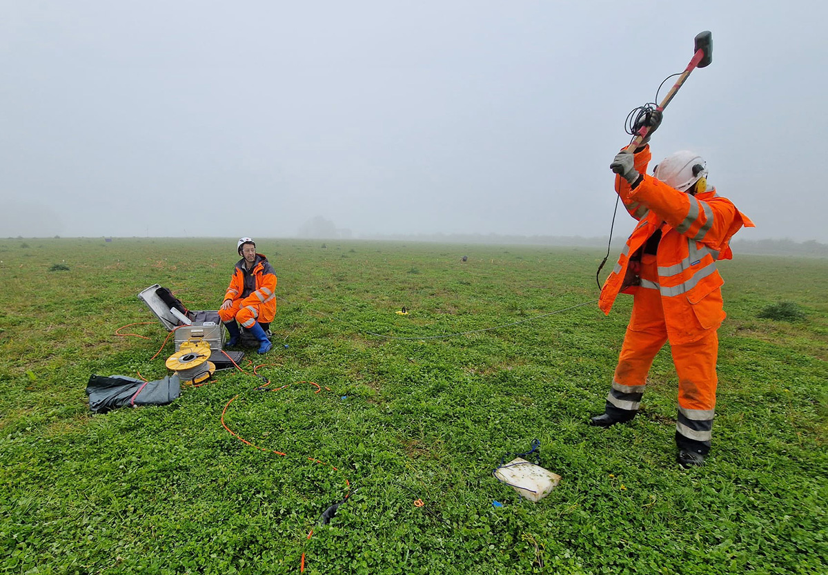
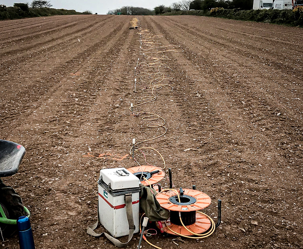
Specialist Seismic Refraction Survey Company
TerraDat is a specialist Seismic refraction survey company with many years of experience applying and researching its use in shallow engineering and geotechnical work. Seismic survey methods provide a useful tool for investigating geological structure and rock properties. The technique … Read More
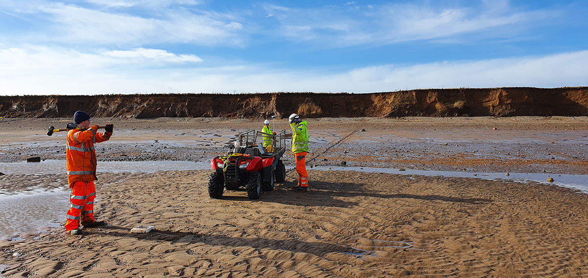
Seismic Reflection
TerraDat has specialist experience in designing and implementing high-resolution seismic reflection surveys for onshore and shallow marine environments. The company routinely carries out seismic survey work for geotechnical and environmental applications as well as larger-scale work for oil/mineral exploration. … Read More