
Shallow geophysics plays a crucial role in characterizing the subsurface for transmission cable routes, offering significant advantages to transmission teams working on energy infrastructure projects. By employing non-invasive geophysical techniques, energy providers can optimize cable route planning, reduce environmental impact, … Read More
Applications
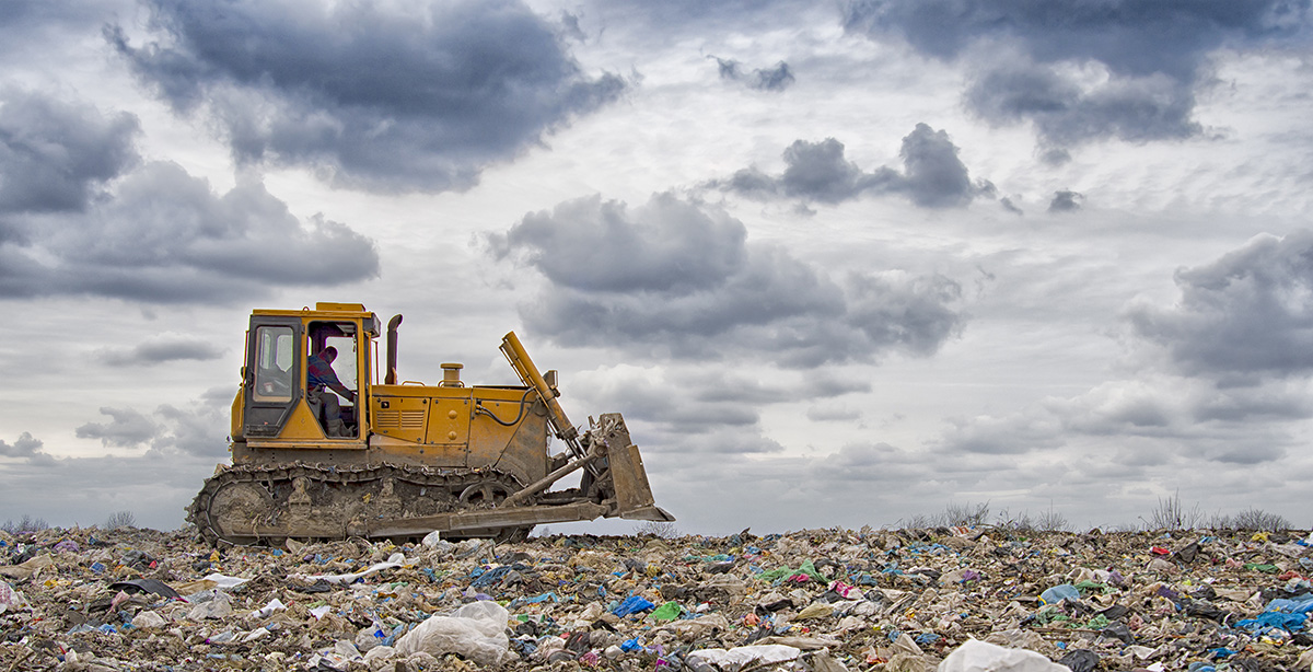
Characterisation of Landfill Sites using Geophysics
Addressing the growing challenge of environmentally compliant landfill management, TerraDat provides expert geophysical survey services for both active and closed landfill sites. Our advanced, non-invasive techniques deliver high-resolution insights into landfill composition and boundaries, surpassing traditional methods in efficiency and … Read More
Archaeological Geophysics (Archeology)
CHECK OUT OUR NEW DEDICATED ARCHAEOLOGICAL GEOPHYSICS WEBSITE TerraDat’s archaeological geophysics team is uniquely placed to draw on decades of experience in applied geophysics and archaeological surveying. TerraDat’s approach uses our fully-trained geophysicists to deal with the geophysics while our … Read More
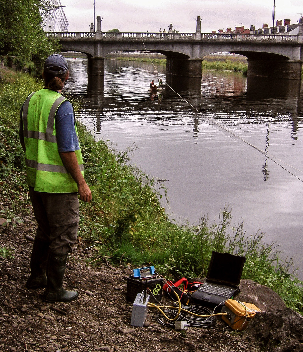
River Crossings: Profiling Geology using Geophysics
Many of our clients constructing roads, laying pipelines or investigating historic bridges find profiling the geology beneath rivers tricky using conventional ground investigation methods. Since the path rivers take is often dictated by changes in geology, the problem can be … Read More
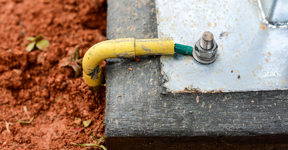
Electrical Earthing: Advanced Soil Resistivity Measurements for Electrical Earthing Design
As part of our services for energy and infrastructure, TerraDat regularly carries out soil resistivity measurements for earthing installation design and corrosion engineering. These resistivity measurements are made by passing a DC electrical current through the ground using a pair … Read More
Mapping Shallow Abandoned Mineworkings using Geophysics
The problem of mapping shallow abandoned mine workings is significant in the re-development of brownfield sites or land reclamation in former mining areas. A TerraDat Geophysics survey can mitigate the risks of mapping mine workings using conventional ground investigation methods. … Read More
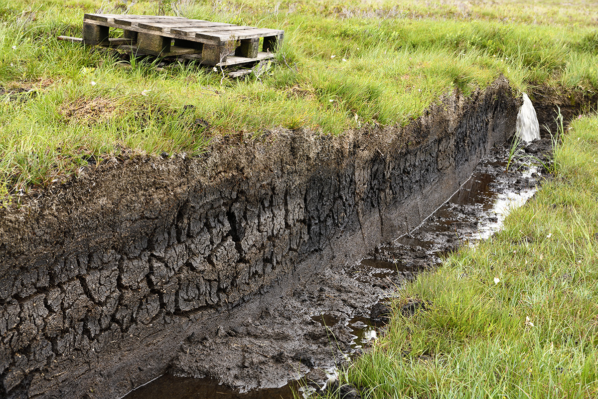
Peat Mapping using Geophysics (Peat Surveys)
Mapping peat is a common requirement for proposed developments such as wind farms and pipeline routes where they cross remote and/or sensitive areas. There are several geophysical methods that can provide plan and cross-sectional information to map the distribution of … Read More
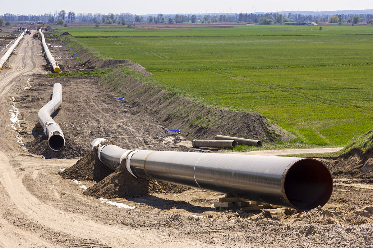
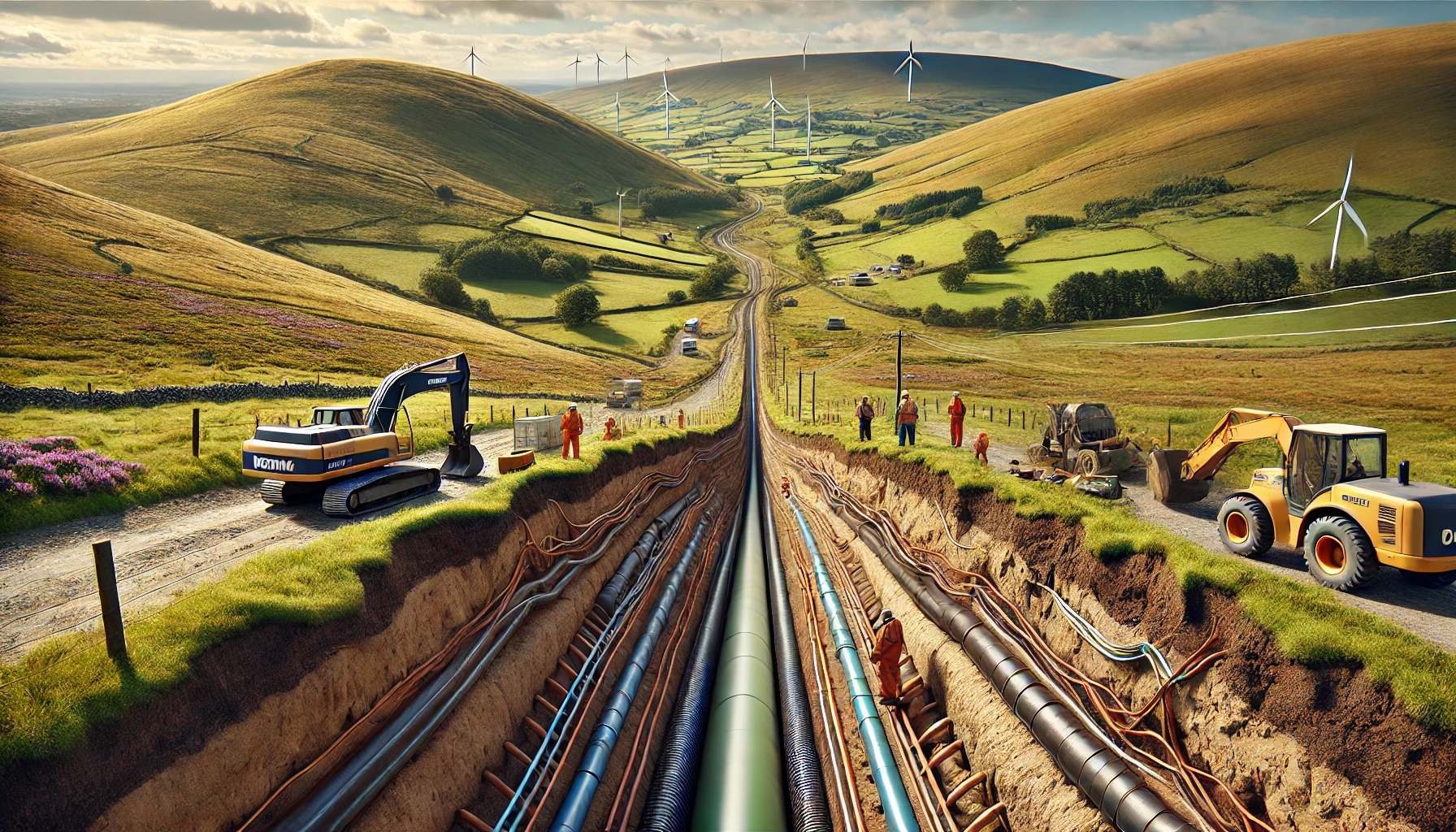
Geophysics for Mapping Geology along Pipeline Routes
Pipelines and cable routes present a set of unique developmental and geotechnical challenges. TerraDat has designed an integrated survey approach, providing data useful to all stages of the project design. Archaeological assessments and UXO detection: Due to the large distances … Read More
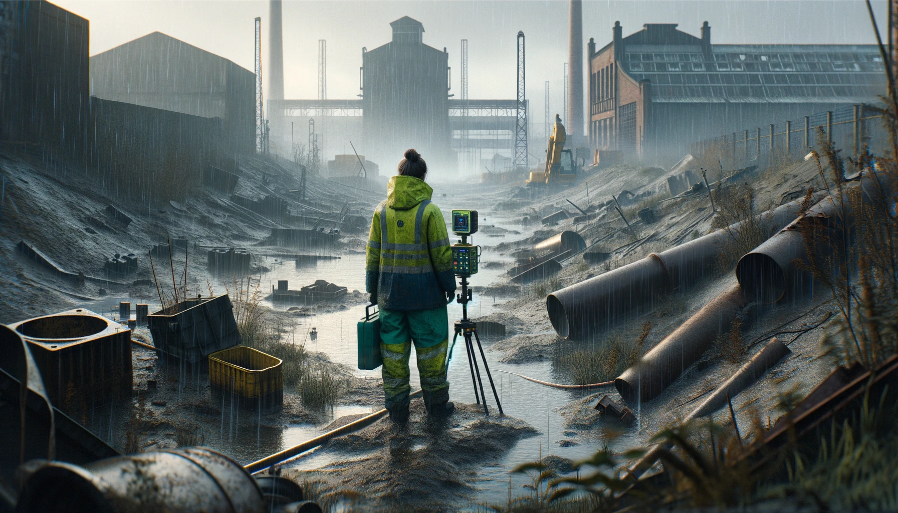
Brownfield Site Investigation using Geophysics
Most former industrial sites have a legacy of buried structural hazards and contamination. Geophysical surveys can detect buried targets without the need to excavate. Many industrial contaminants, such as salinisation by acids and hydrocarbon plumes, can leave a significant geophysical … Read More
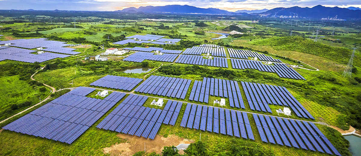
Solar Energy: Investigating the Subsurface Beneath Solar Farms Using Geophysics
Click for more information on investigations for Solar Farms Archaeology beneath solar farms TerraDat provides geophysical services to the renewable energy industry, including wind and solar farms. We employ techniques for investigating the ground beneath these developments to assist with … Read More