
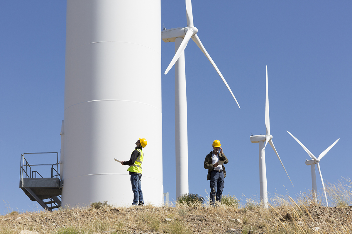
Over recent years TerraDat have gained a wealth of experience providing geophysical services to the wind energy industry. By working alongside many major wind farm developers TerraDat have developed a suite of geophysical techniques ideally suited to the needs of … Read More
Applications
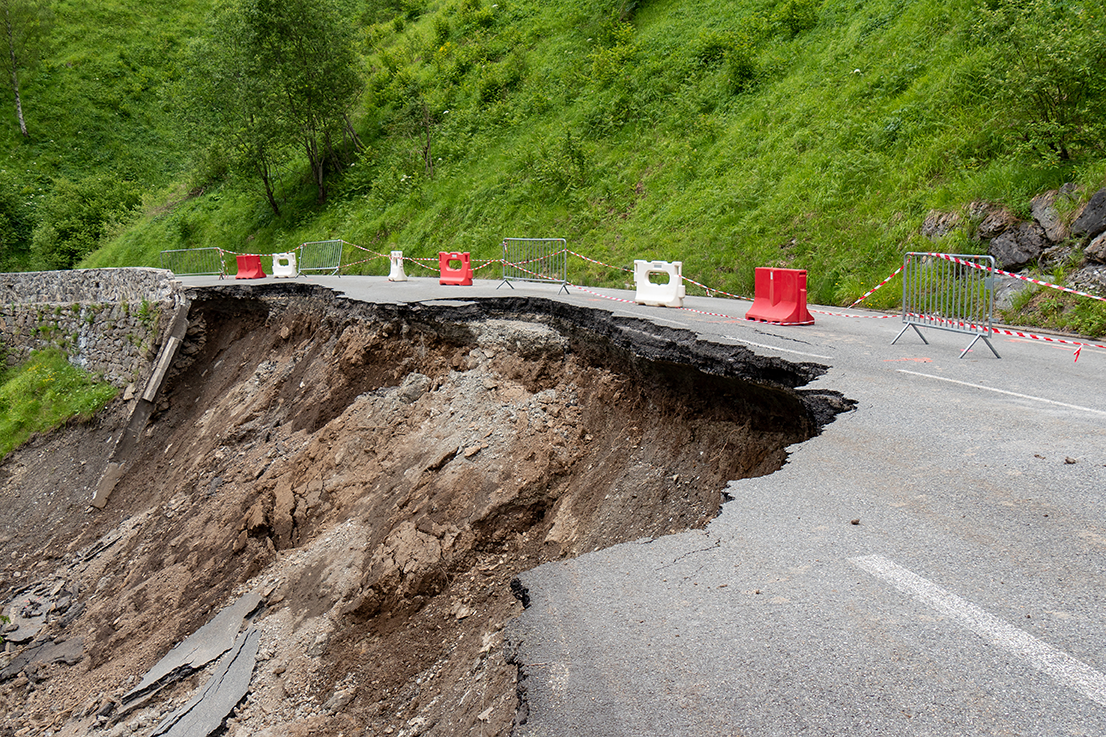
Slope Stability: Understanding Slope Stability using Geophysics
TerraDat has developed a strategy for investigating slope stability that provides key engineering properties for managing and monitoring existing and potential landslides. While each site is considered unique with respect to the survey design, the methods that most often prove … Read More
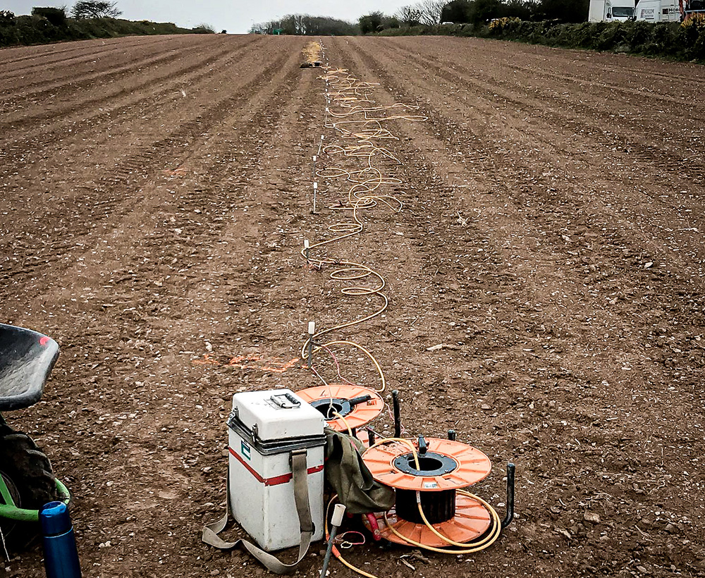
Karst Geology: Void detection & Karst Mapping using Geophysics
TerraDat is regularly contacted by ground engineers asking about our void detection surveys using geophysics. The benefits of our geophysical surveys in terms of maximum area coverage and minimal ground disturbance provide an ideal solution. The best geophysical methods for … Read More