About Us
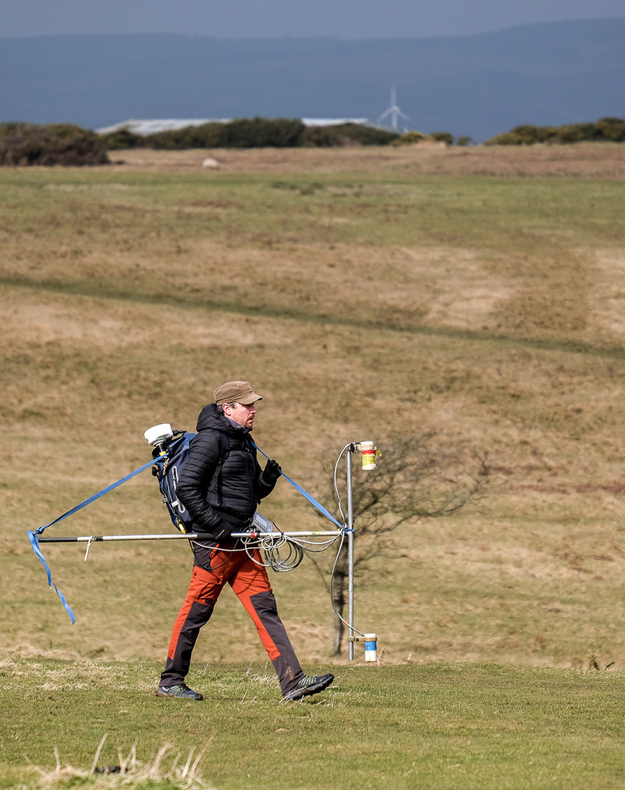
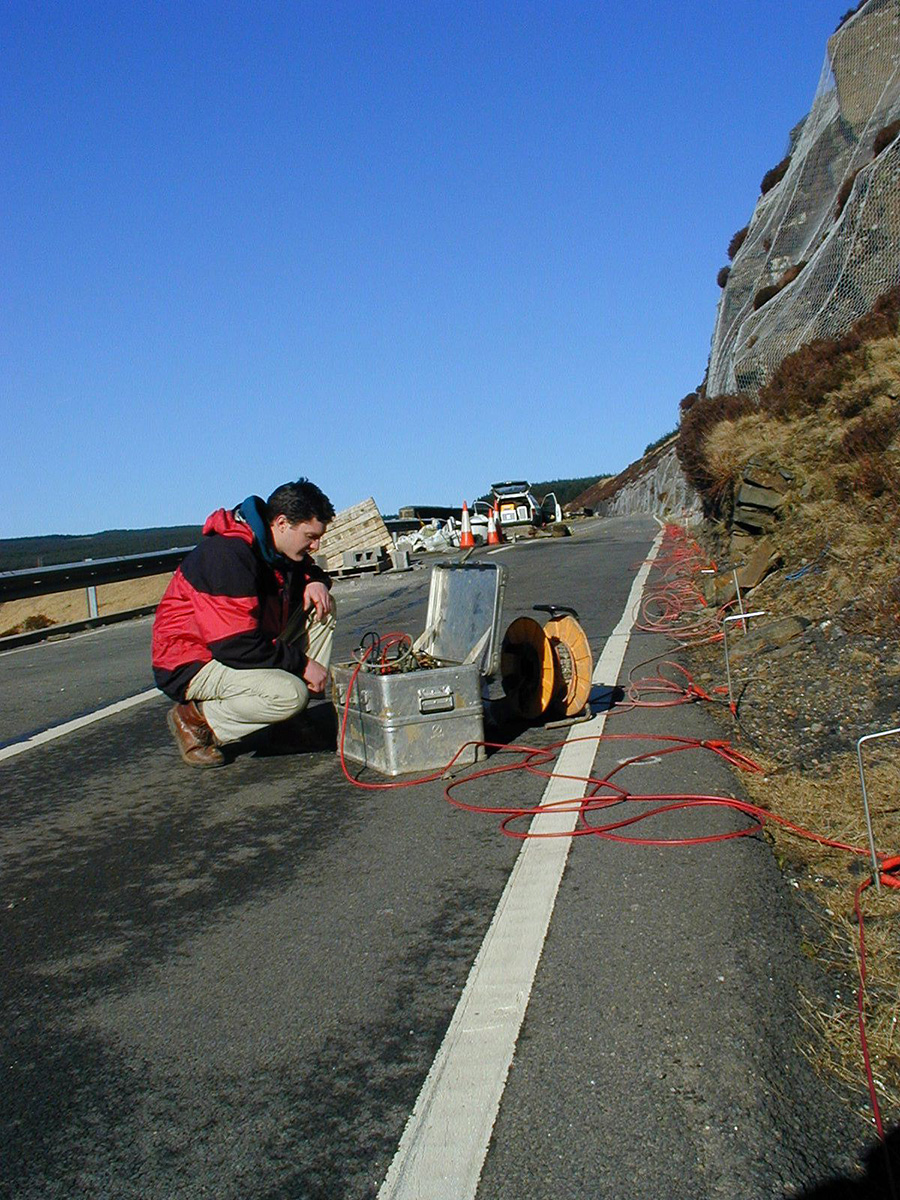
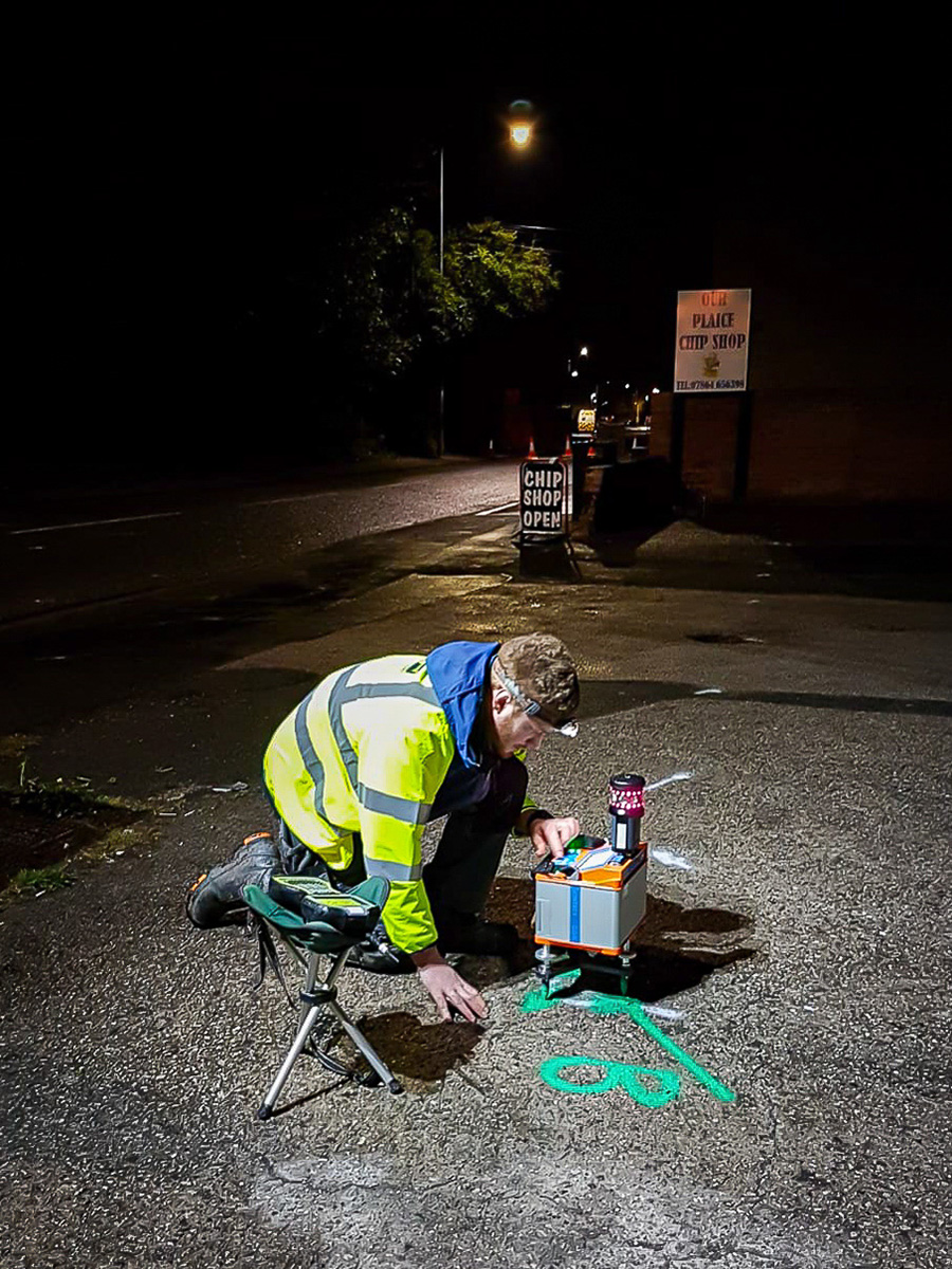
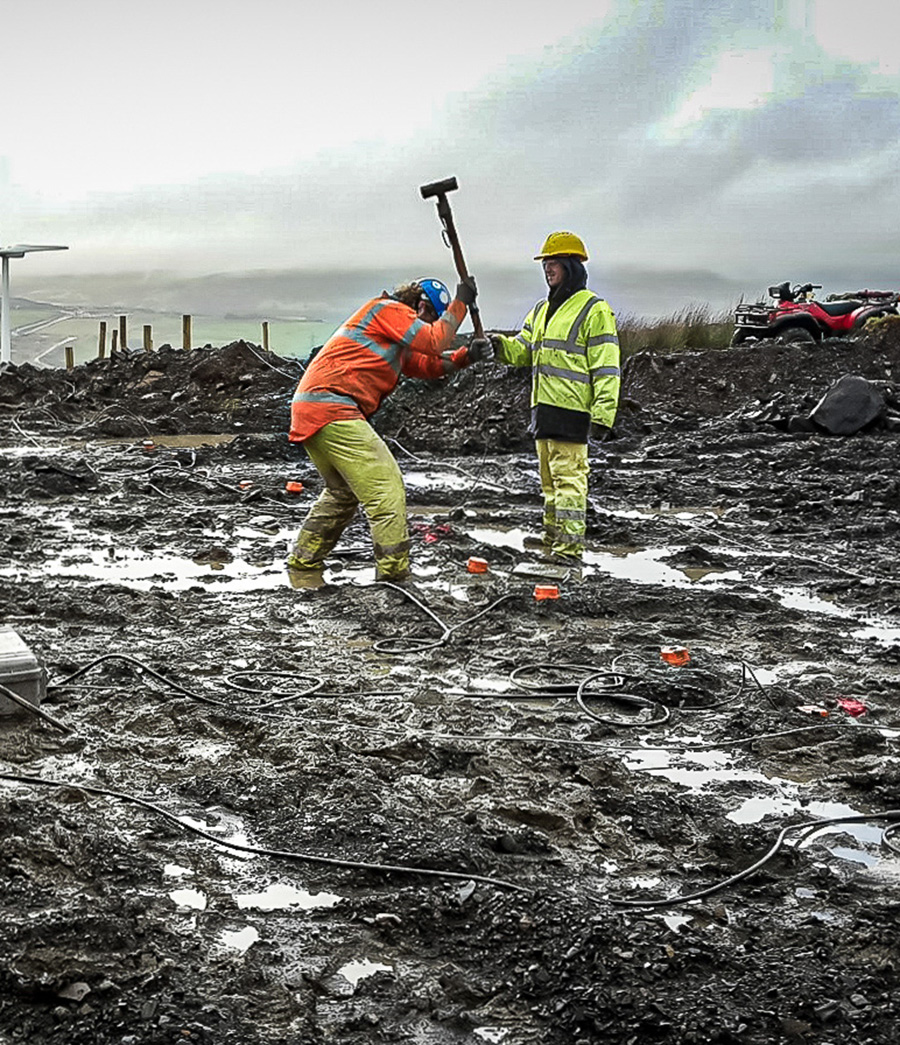
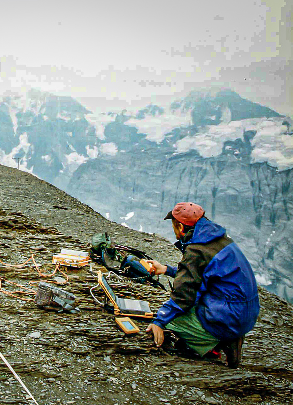
Complex geophysics delivered by down to earth people
We know complex geophysical surveys, but we keep things down to earth. With over 30 years of experience, TerraDat is your reliable partner for engineering, environmental, energy, and archaeological ground investigations. From our Wales HQ and offices in Scotland, Spain, Italy, and Austria, we collaborate with engineers and consultants to deliver actionable subsurface mapping data.
At TerraDat, we understand the importance of dependable geophysical surveys for informed project decisions. We customise our surveys to provide specific insights into subsurface conditions, utilising cutting-edge technology to ensure success. Our skilled geophysicists maintain a practical, results-focused approach, delivering clear and concise data.
Our survey results are easy to understand, provided in standard CAD or GIS formats, and thoughtfully integrated with historical data and geological information for a comprehensive view. Whether you’re new to geophysics or an experienced professional, contact us for a friendly chat to pinpoint your survey needs.
We’re passionate about earth sciences, easy to work with, and always ready to help!
What We Do
We specialise in a wide range of geophysical survey methods, including seismic refraction, seismic reflection, MASW, microgravity, ground-penetrating radar, magnetic and geoelectrical techniques. Our in-house geomatic capabilities include 3D laser scanning and photogrammetry, and we are a CAA-approved commercial drone operator.
- profiling bedrock properties for pipeline/bridge river crossings
- subsurface geotechnical properties
- mapping of subsurface voides
- geohazards such as collapses, landslides and flooding
- location of abandoned mineworkings
- water exploration/drainage
- mineral exploration
- detection of unexploded ordnance
- 3D visualisation of heritage structures
We can help you confidently understand the subsurface so to give your project a firm foundation…
The Team
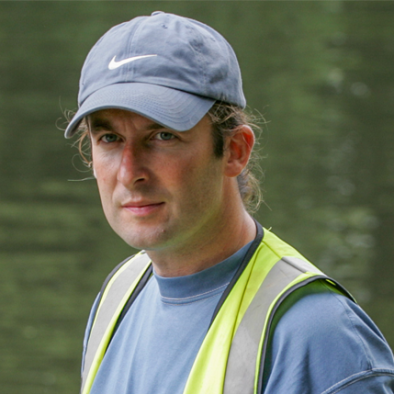
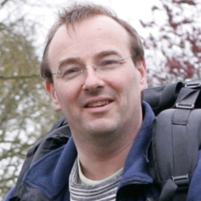
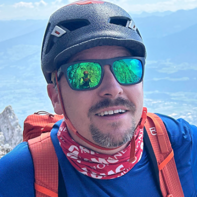
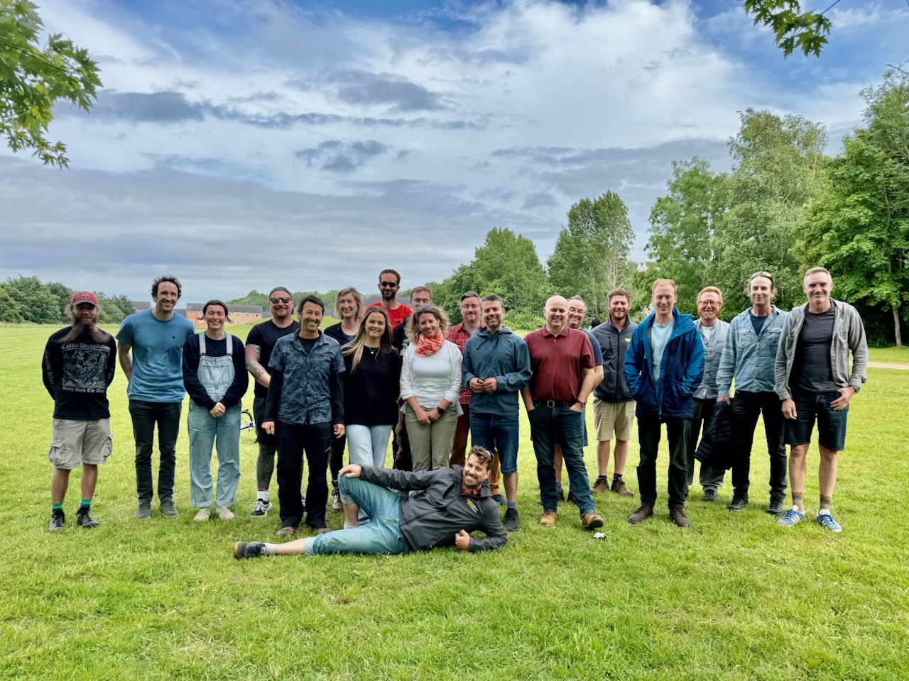
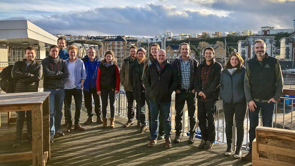
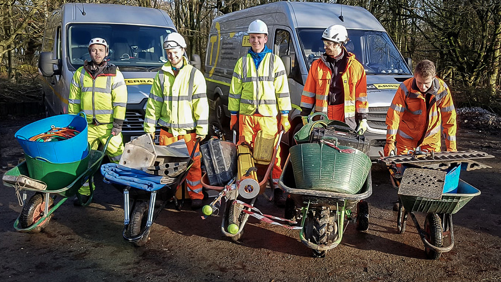
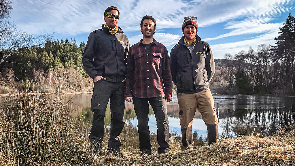
TerraDat Geophysics employs a team of over twenty qualified geoscientists in our key locations of Cardiff and Glasgow and a further three in our Spanish office. The principle staff are:
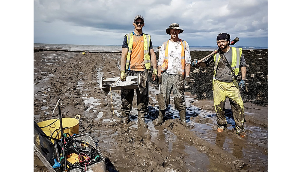
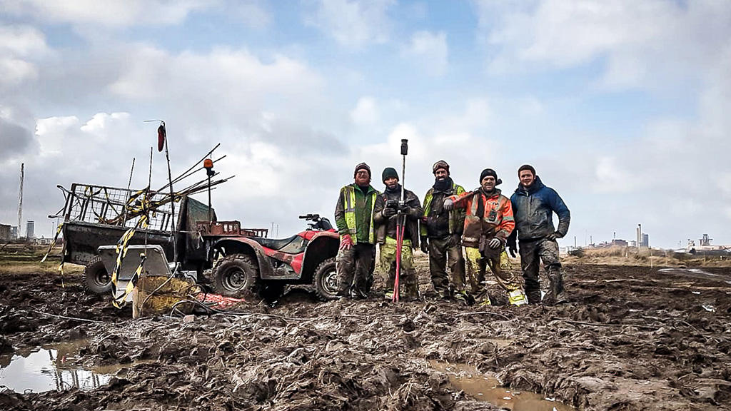
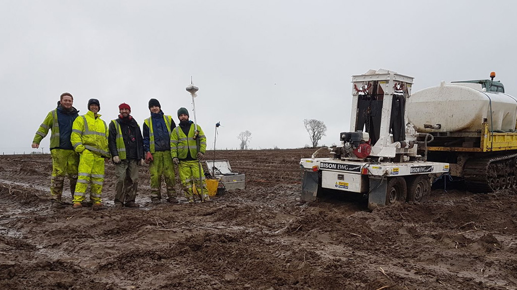
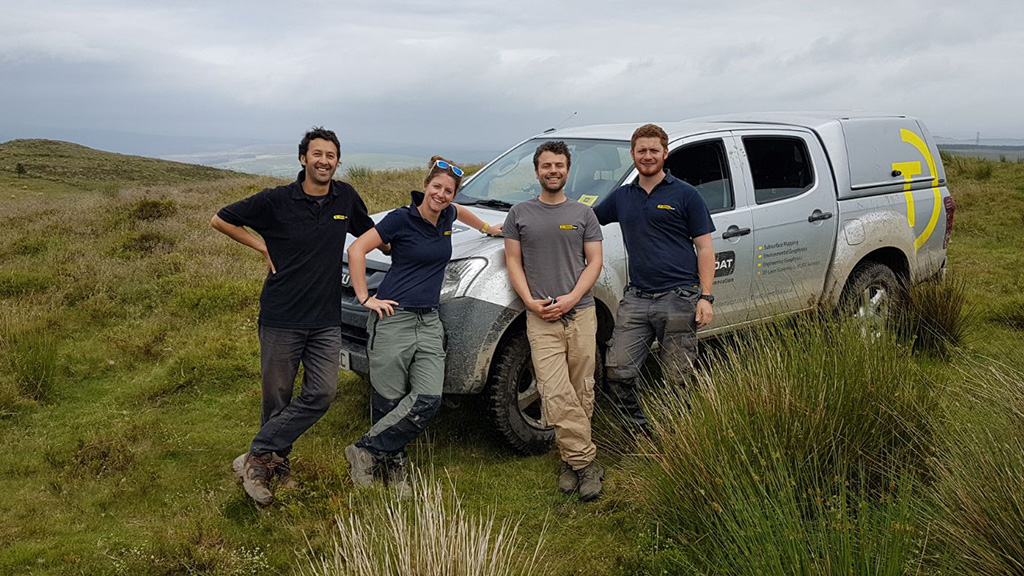
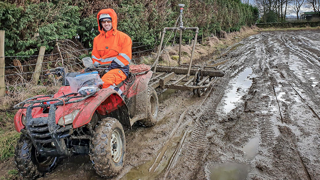
TerraDat uses state-of-the-art geophysical mapping techniques to characterise the subsurface. The benefit of geophysics is that it’s non-invasive and can rapidly map large areas and reduce the chance of missing buried targets. We’ve been offering our services for over 30 years to clients from the engineering, environmental, energy and construction sectors. Here are four case study booklets showing how geophysics can be applied to your ground investigations.

