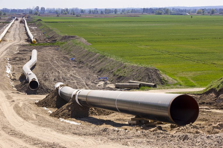
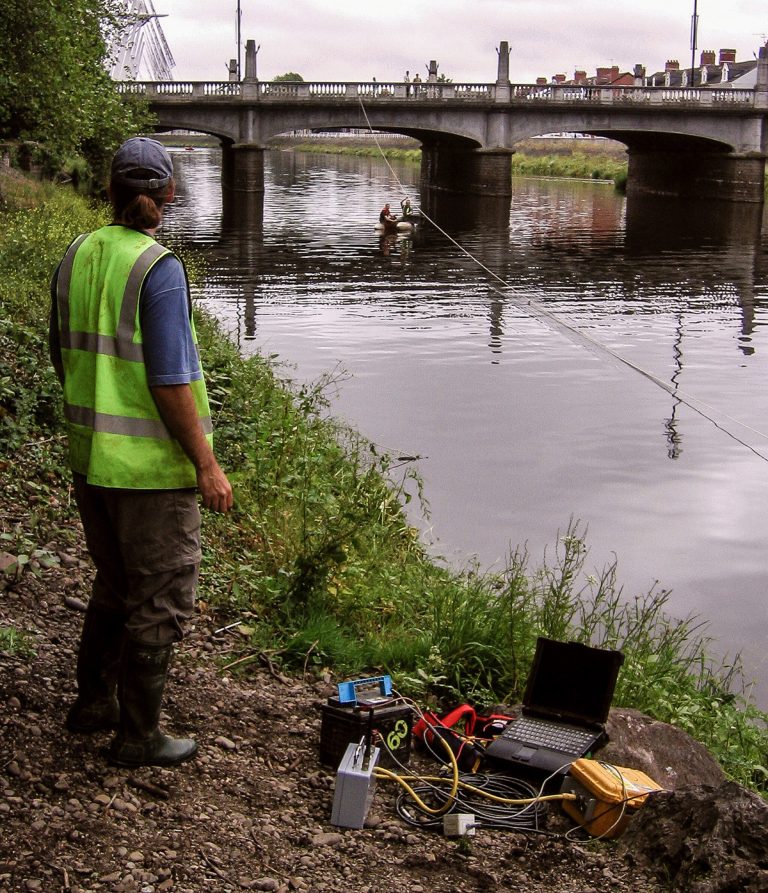
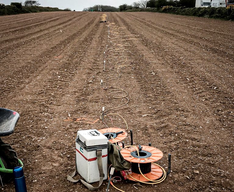
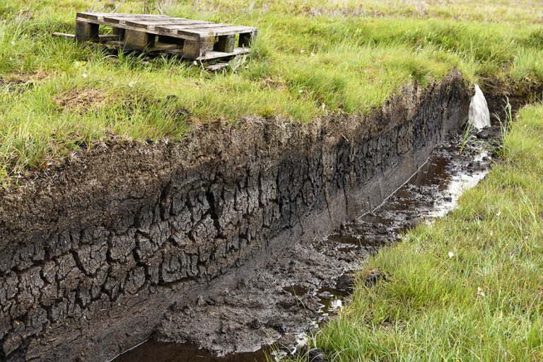
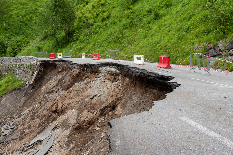
Geophysical Survey Company – TerraDat (UK) Ltd

TerraDat Applications

Engineering & Environmental Geophysics Applications

Geophysics can be used to rapidly and non-destructively map many shallow engineering, environmental, geological or geotechnical targets. The links below show some of the more popular applications for geophysical surveying; however, this is not an exhaustive list. TerraDat has many years of experience at the forefront of the industry and is adept at adapting and innovating surveys to suit a particular target. Contact us to discuss your needs or arrange a site visit.

TerraDat provides expert geophysical survey services for both active and closed landfill sites.

Characterisation of Landfill Sites using Geophysics

Addressing the growing challenge of environmentally compliant landfill management, TerraDat provides expert geophysical survey services for both active and closed landfill sites. Our advanced, non-invasive techniques deliver high-resolution insights into landfill composition and boundaries, surpassing traditional methods in efficiency and

Read More...
Peat trench ready as part of a peat mapping survey using ground radar to provide high-resolution images of the deposit beneath discrete profiles or with a resistivity survey

Peat Mapping using Geophysics (Peat Surveys)

Mapping peat is a common requirement for proposed developments such as wind farms and pipeline routes where they cross remote and/or sensitive areas. There are several geophysical methods that can provide plan and cross-sectional information to map the distribution of

Read More...
Image showing microgravity techniques used for brownfield surveying on a construction site

Brownfield Site Investigation using Geophysics

Most former industrial sites have a legacy of buried structural hazards and contamination. Geophysical surveys can detect buried targets without the need to excavate. Many industrial contaminants, such as salinisation by acids and hydrocarbon plumes, can leave a significant geophysical

Read More...
Survey productivity is maximised by using the latest Sensys magnetometers, particularly the Magneto MX magnetic gradiometry system. This system utilises eight Sensys gradiometer probes mounted on a bespoke carriage system.

Archaeological Geophysics (Archeology)

CHECK OUT OUR NEW DEDICATED ARCHAEOLOGICAL GEOPHYSICS WEBSITE TerraDat’s archaeological geophysics team is uniquely placed to draw on decades of experience in applied geophysics and archaeological surveying. TerraDat’s approach uses our fully-trained geophysicists to deal with the geophysics while our

Read More...
TerraDat has innovated established geophysical survey techniques (resistivity tomography & seismic refraction) specifically for river and stream crossing investigations

River Crossings: Profiling Geology using Geophysics

Many of our clients constructing roads, laying pipelines or investigating historic bridges find profiling the geology beneath rivers tricky using conventional ground investigation methods. Since the path rivers take is often dictated by changes in geology, the problem can be

Read More...
Mapping Geology along Pipeline Routes

Geophysics for Mapping Geology along Pipeline Routes

Pipelines and cable routes present a set of unique developmental and geotechnical challenges. TerraDat has designed an integrated survey approach, providing data useful to all stages of the project design. Archaeological assessments and UXO detection: Due to the large distances

Read More...