TerraDat Geophysics: Innovating Subsurface Exploration Since 1992
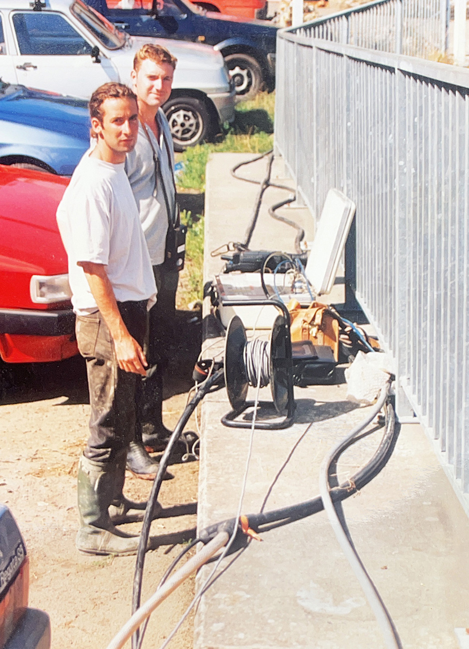
Founded in 1992 by Cardiff University graduates Rob McDonald and Nick Russill with a grant from the Prince’s Trust, TerraDat Geophysics emerged to address the growing need for increased awareness of the subsurface amidst evolving land use and environmental legislation. Initially, geophysical techniques primarily used in large-scale mineral surveys were becoming more advanced, portable, and capable of higher resolution. This technological evolution allowed TerraDat to harness these improvements for various applications.
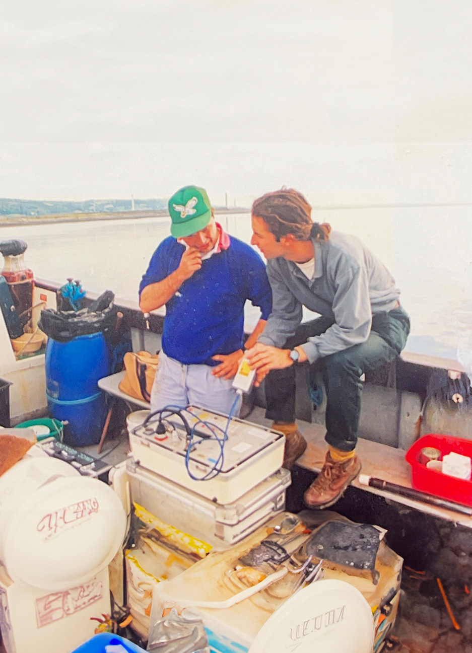
Since our inception, we have tirelessly promoted the adoption of geophysical mapping technologies across diverse industries, including landfills, nuclear site characterisation, contaminated land mapping, coastal geotechnics, and civil engineering projects. Our commitment to quality is reflected in our multidisciplinary approach, enabling us to offer the highest-quality non-destructive geophysical surveys.
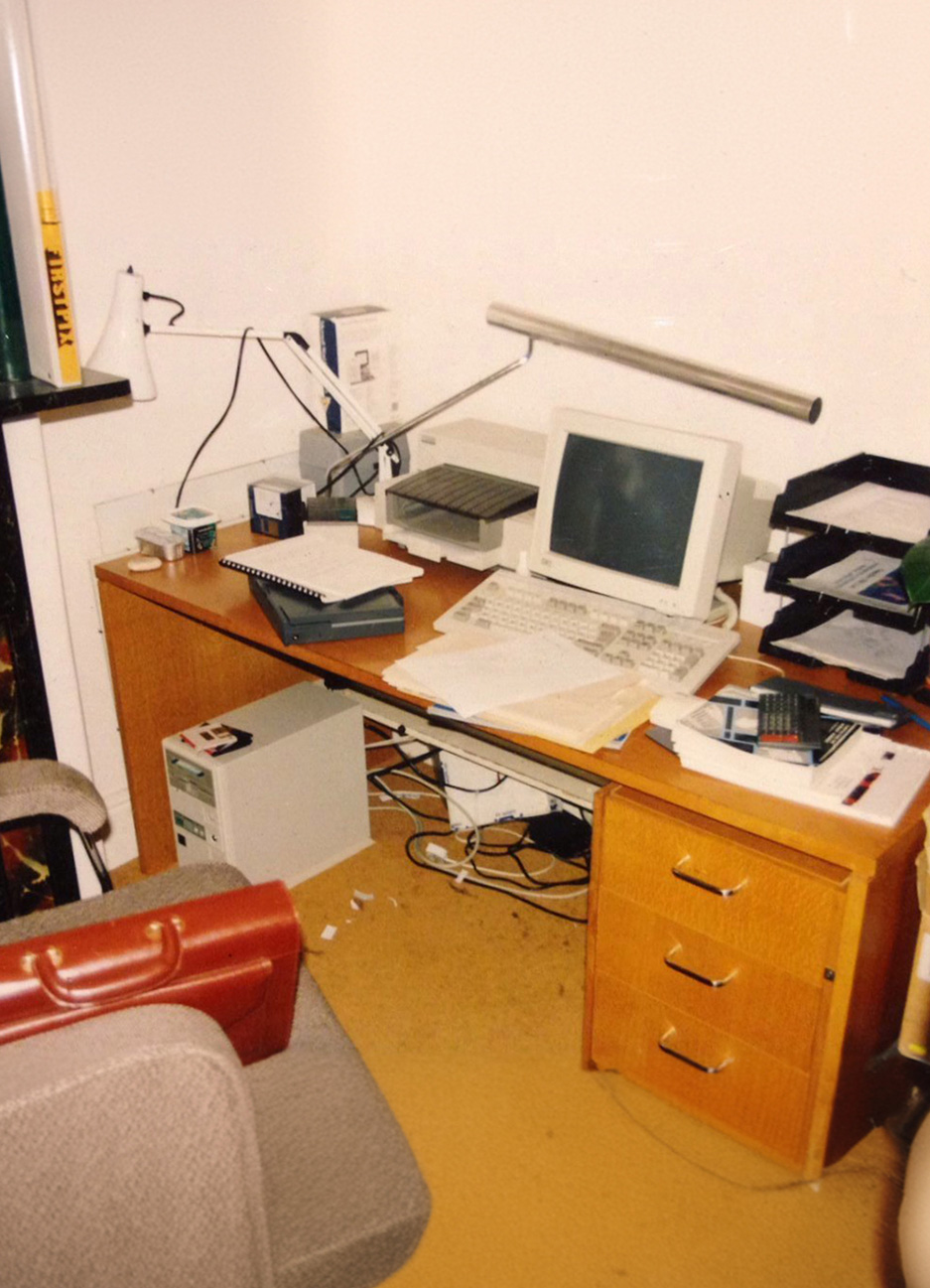
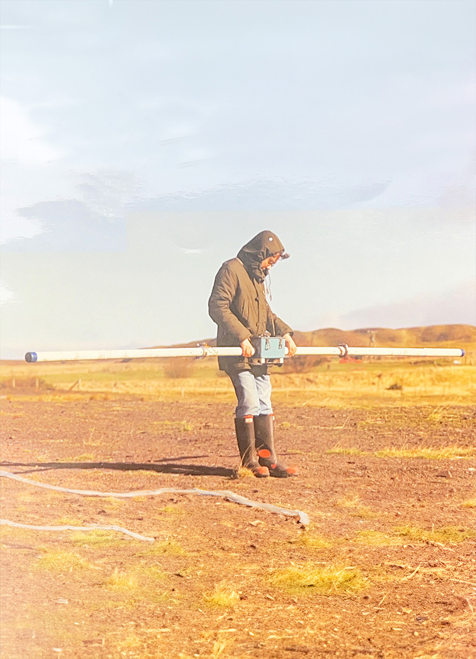
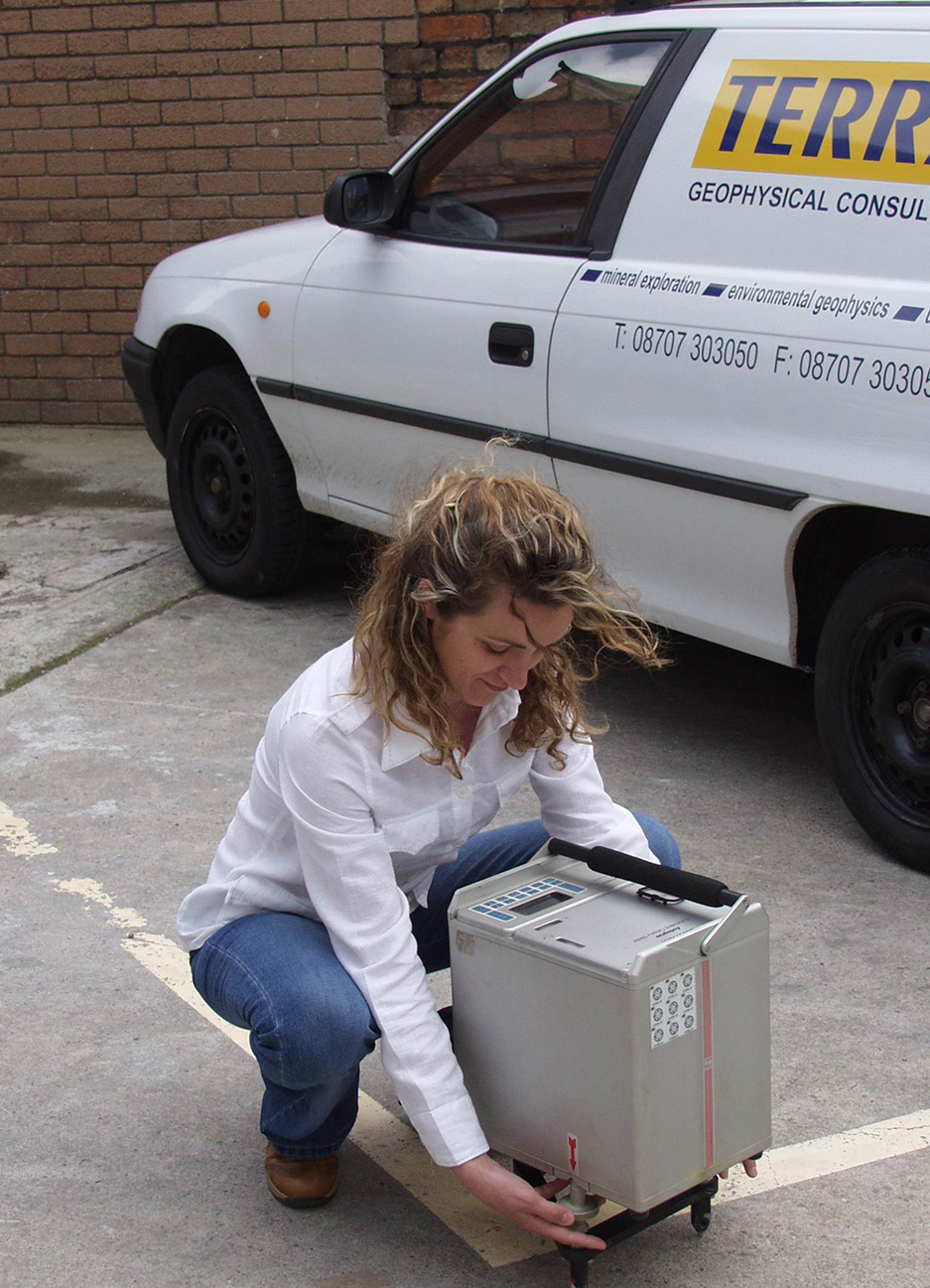
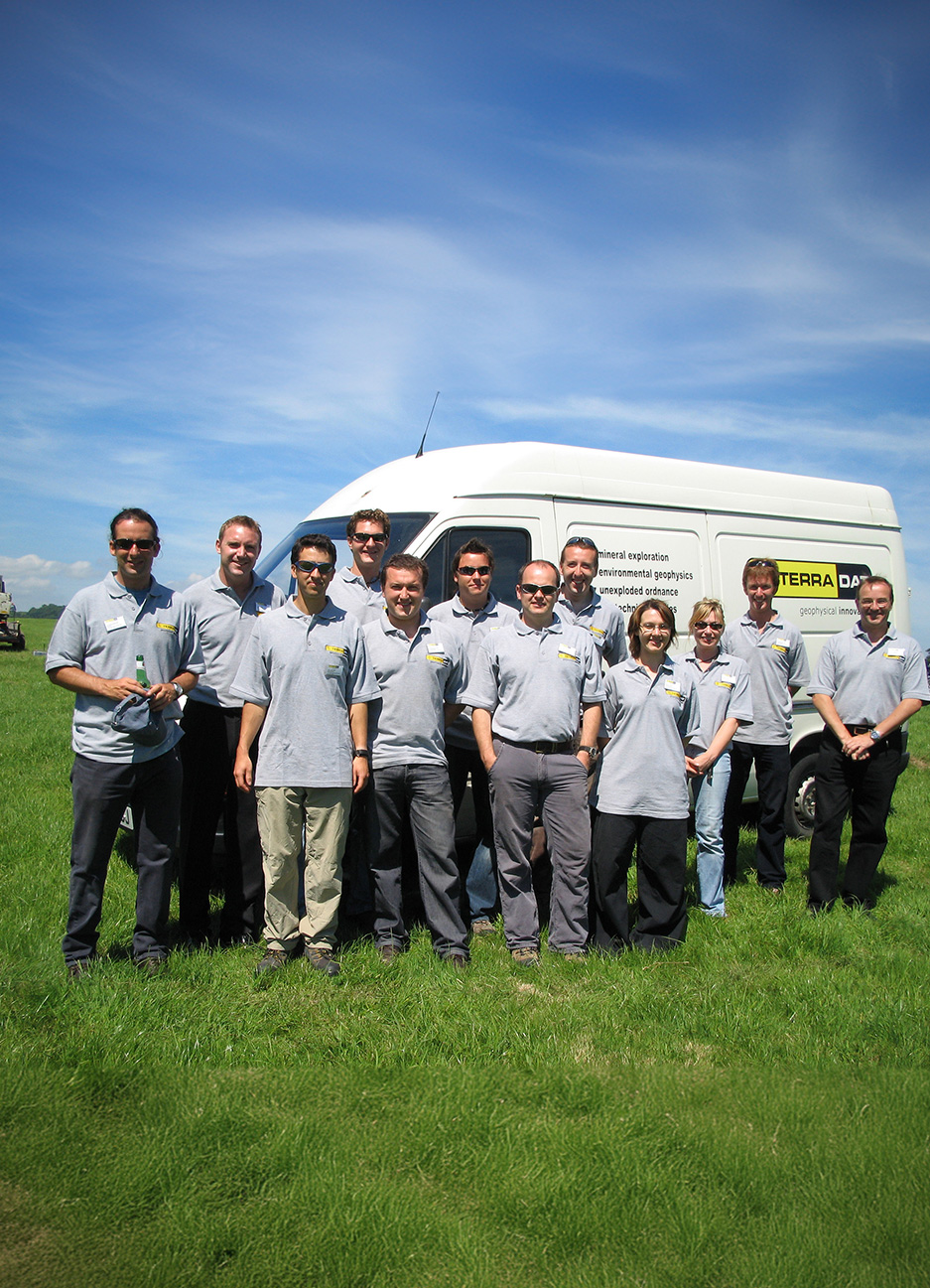
At TerraDat, we pride ourselves on having one of the country’s best in-house collections of state-of-the-art geophysical instrumentation. Our investment in our staff and facilities matches this commitment to technology, ensuring we deliver world-class service backed by extensive global experience.
Commitment to Education and Innovation
Recognising geophysics as a constantly evolving science, we maintain strong ties with Cardiff University and have supported numerous PhD and Masters projects. Nick Russill’s secondment to the University of Exeter as a Royal Society Entrepreneur in Residence highlights our dedication to academic collaboration. A notable multinational project we contributed to was the EU-funded PACE project, which explored methods for benchmarking climate change through the study of permafrost degradation.
We are also a Royal Society STEM Partner, actively engaging with local schools to inspire the next generation of young geoscientists. Our commitment to education extends beyond traditional boundaries, supporting young scientists and fostering innovation within the industry.
Pioneering Geophysical Applications
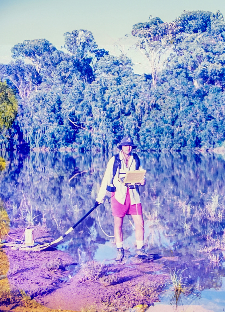
TerraDat is renowned for its innovative application of geophysical techniques. We have pioneered Passive Seismic Tomography for oil and gas exploration, developed rapid high-resolution archaeological geophysics for renewable energy projects, and created SpiVolt, a novel in-situ leak monitoring system for earth dams.
Our Spanish office opened in 2019 and has rapidly expanded, servicing environmental and mineral projects across Spain. This growth reflects our ability to adapt and apply our expertise to new markets and challenges.
Media Collaborations
Our work has also found a place in popular media. We have contributed data to several TV productions, including Channel 4’s “Time Team,” BBC’s “Hidden Wales,” BBC Countryfile and a docu-drama about a POW escape tunnel in South Wales. These collaborations showcase our ability to bring geophysical insights to a wider audience.
Our Vision
TerraDat aims to continually invest in cutting-edge technology, innovative research, and the professional growth of our team. By combining these elements with our global experience, we strive to provide our clients with unparalleled service and insights into the subsurface world.