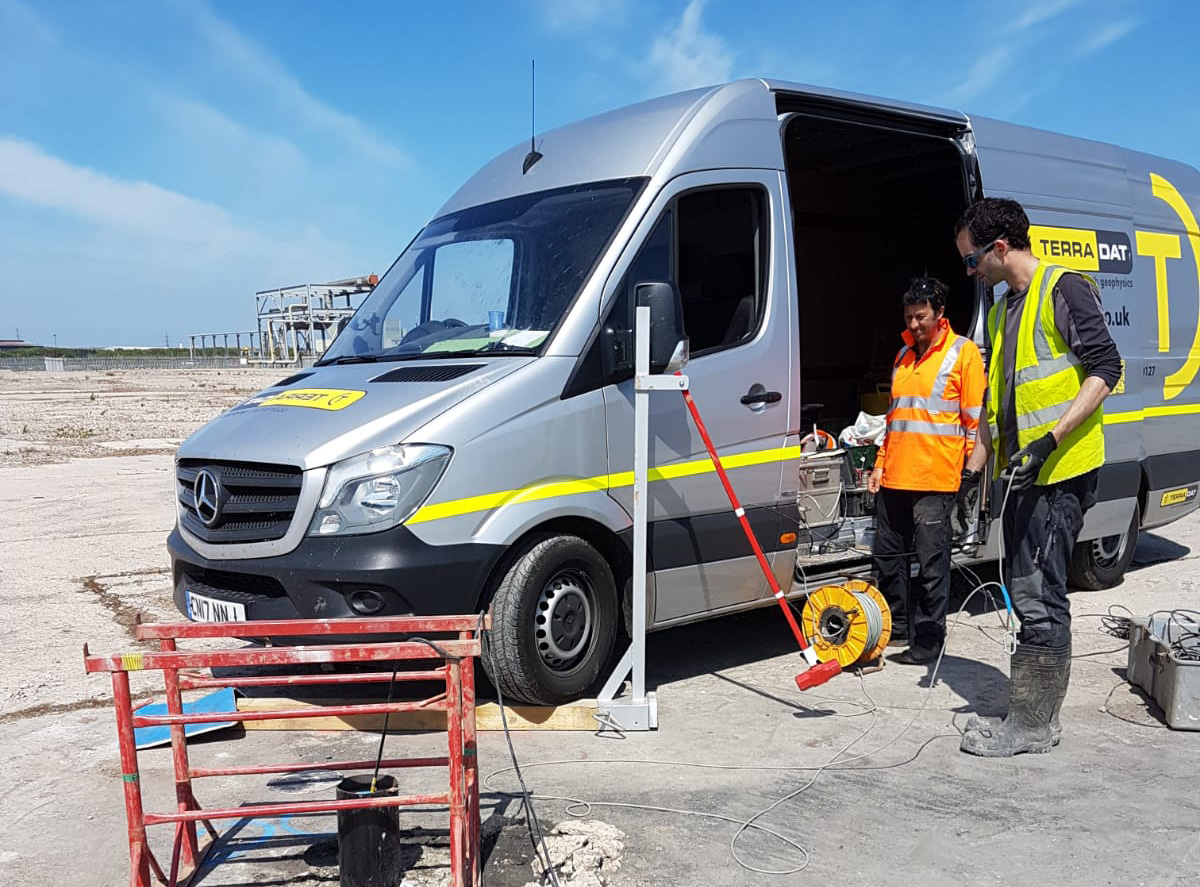
30 Years Expertise in all Geophysical Survey Methods
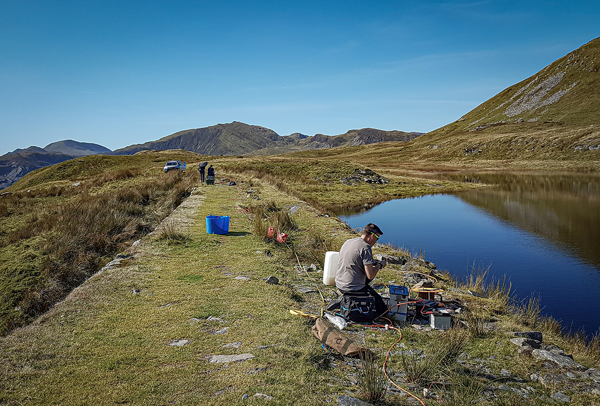
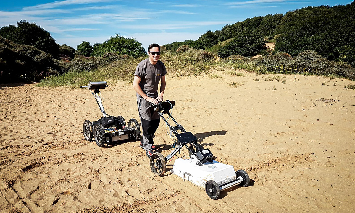
Geophysical surveys are an innovative, state-of-the-art ground investigation technique. TerraDat specialises in utilising various methods to measure physical contrasts in the subsurface, effectively locating buried targets.
We apply these across a wide range of sectors, including civil and geotechnical engineering, mineral exploration, environmental monitoring, renewable energy, the water industry and archaeology.
Why use Geophysics?
Geophysical surveys should be an essential component of most ground investigations, from civil engineering projects and mineral exploration to contaminated land and renewable energy projects. They often provide the only method for achieving comprehensive ground coverage, ensuring targets are reliably identified and imaged before any invasive work begins. Here are the key advantages of using our geophysical services:
Low Cost
Geophysical surveys offer remarkable value for money when compared to more conventional site investigation techniques (such as boreholes, trial pitting or desk studies). The value of the information acquired, combined with the reduced cost from an optimally designed follow-up invasive investigation, easily exceeds the original outlay – not to mention the reduced legal implications of failing to use all the common tools for site investigation available and missing the target as a result.
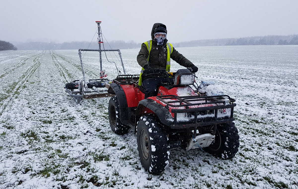
Rapid Coverage
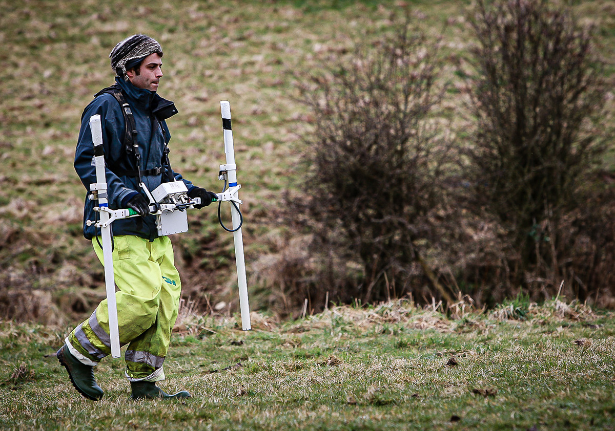
TerraDat geophysical surveys can cover 2-6 hectares (approximately 5-15 acres) of land daily for engineering or brownfield-scale projects. Even greater areas can be surveyed for larger targets, such as mineral prospects. When surveys are conducted along profiles, up to 5 kilometres can be acquired daily, depending on the method used.
We can often provide draft results of anomaly locations while still on site, subject to final data processing and analysis. All our surveys align with National Grid coordinates or local site grids, ensuring anomalies can be easily and accurately relocated.
No Exposure to Buried Hazards
Because geophysics surveys are non-invasive, neither operators nor other people on site are exposed to hazardous material, geohazards or other unknown subsurface risks. There is also no risk of inadvertently exposing toxic materials to the environment.
Minimal/ No Surface Disturbance
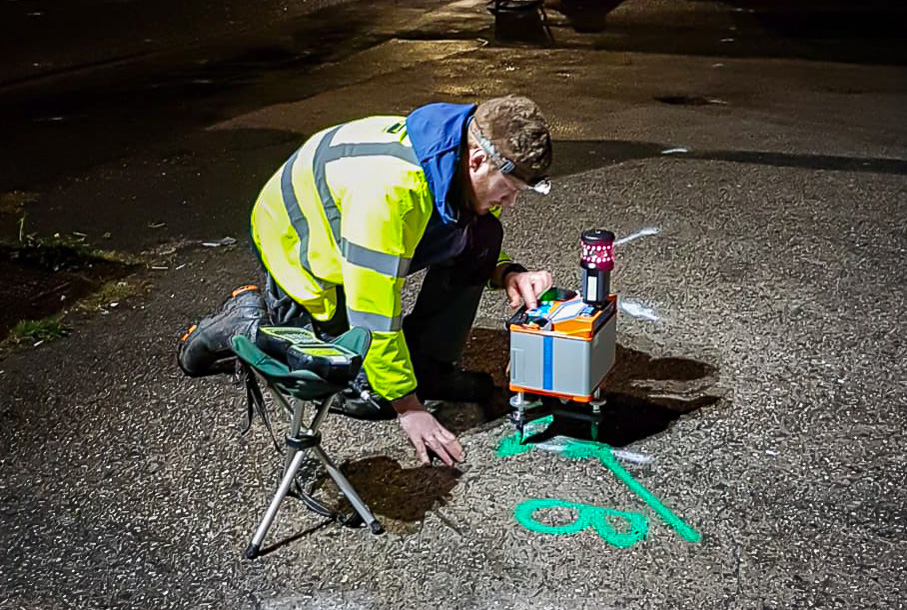
Since little or no ground penetration is required, geophysical surveys can be carried out in urban areas, highways or landscaped environments without disturbing the surface.
Easy to Comprehend
We take special care to present our findings in a format that can be easily understood and integrated with other site datasets by non-geophysical specialists. The results are presented as scale engineering sections or annotated plans that clearly define the features of interest for the Client.
Integrated Capability
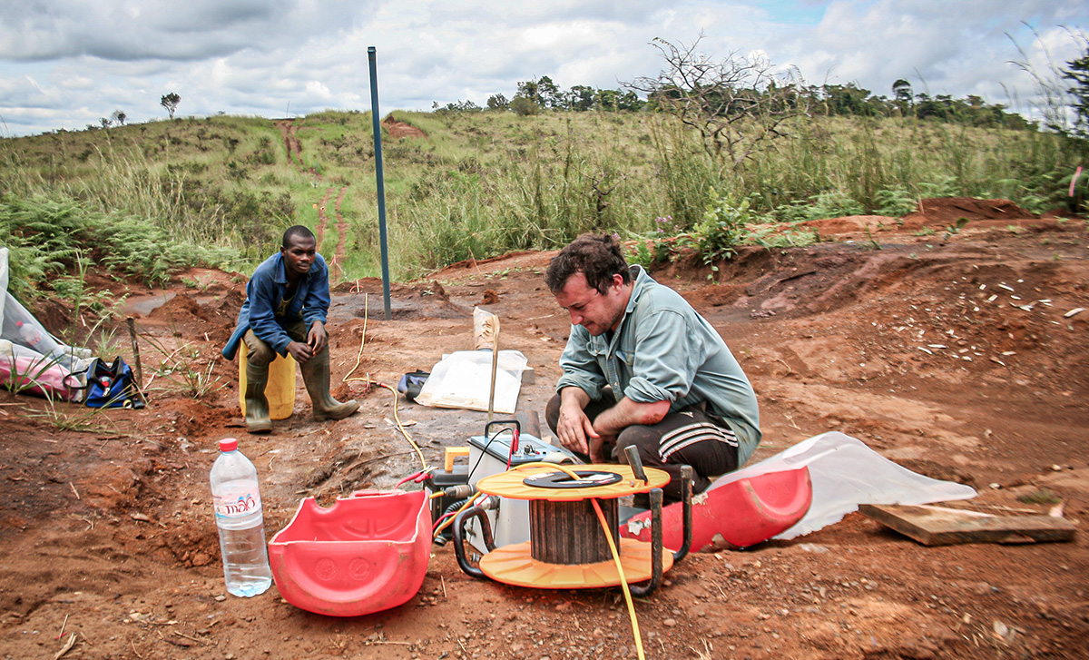
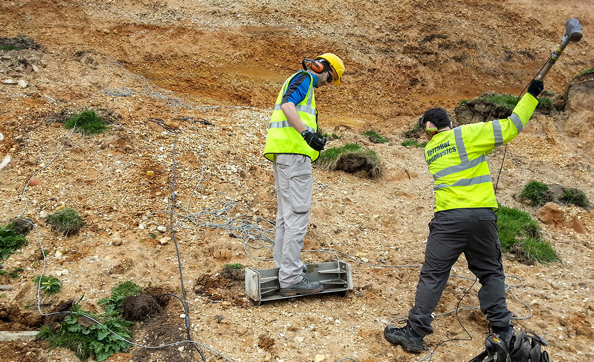
We own all of our survey equipment, which enables the selection of the most suitable method to use on-site without compromise. Our survey teams can respond efficiently to unforeseen ground conditions and optimise survey design while on site.
Low Risk
At TerraDat, we understand that some customers may be unfamiliar with geophysics or recent advancements in instrumentation. We aim to minimise risk by providing clear, actionable insights and comprehensive support throughout the survey process. With over 30 years of experience and cutting-edge technology, we deliver reliable data to make your project planning smoother and more informed.
To ensure optimal results, we offer free consultation from the initial design stage through to the post-report discussion. Our objective is to efficiently meet the job brief with the best survey design within your site investigation budget. This approach has proven popular over the years, leading to significant repeat business.
For our 3D Mapping and Aerial Survey Services, please visit our separate site: TerraDat UAS.
TerraDat uses state-of-the-art geophysical mapping techniques to map the subsurface. The benefit of geophysics is that it is non-invasive and can rapidly map large areas and reduce the chance of missing buried targets. We’ve been offering our services for over 30 years to clients from the engineering, environmental, energy and construction markets. Here are four case study booklets showing how geophysics can be applied to your ground investigations.